Río · Gjirokastër
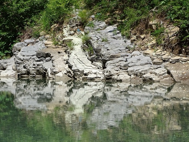
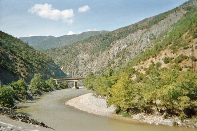
The Vjosa
One of the last large free-flowing rivers in Europe, declared a Wild River National Park in March 2023.
Cada condado, cada costa, cada siglo
Vista guiada
¿Nuevo en Albania? Cada página comienza con una explicación en lenguaje sencillo que cualquiera podría entender, antes de entrar en los detalles.
Vista experta
Ya conoces los fundamentos. Directo al contenido, con las explicaciones básicas ocultas. Esta es la vista predeterminada.
Lugares
El Vjosa, uno de los últimos ríos salvajes de Europa, y el Shala, el Osum, el Drin, el Shkumbin y el Buna.
Río · Gjirokastër
One of the last large free-flowing rivers in Europe, declared a Wild River National Park in March 2023.
Río · Shkodër
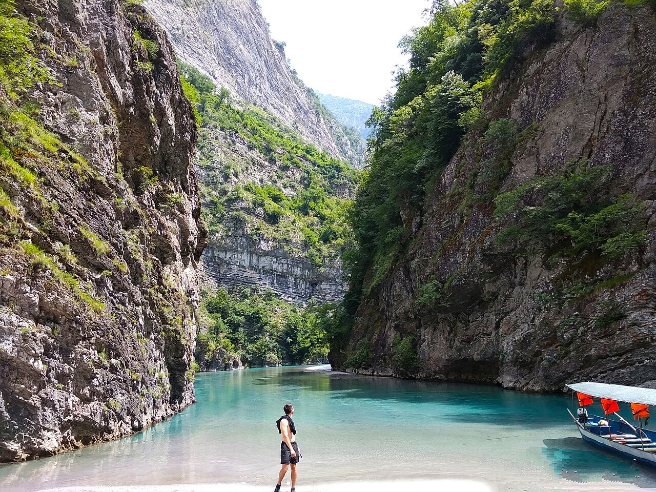
A tributary of the Drin above Koman, reached by boat and often called Albania's Thailand.
Río · Shkodër
Albania's longest river and the backbone of its electricity system, dammed three times in the north.
Río · Elbasan
The river that splits Albania in two — the historic dividing line between Gheg and Tosk.