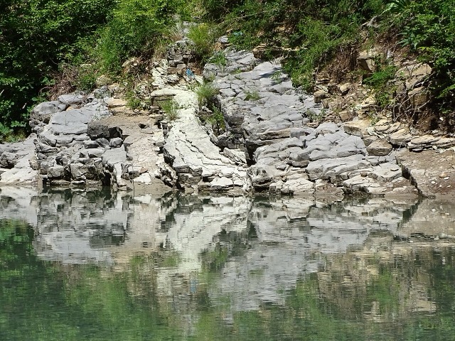
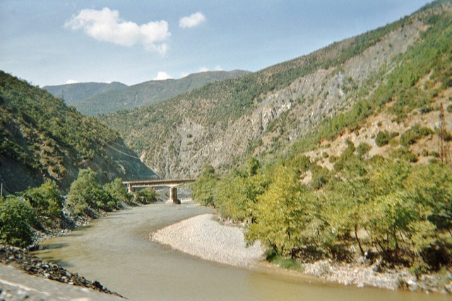
River · Gjirokastër
The Vjosa
One of the last large free-flowing rivers in Europe, declared a Wild River National Park in March 2023.
Every county, coast and century
Guided view
New to Albania? Every page opens with a plain-language explanation you could read to a ten-year-old, before the detail begins.
Expert view
You already know the basics. Straight to the substance, with the simple explanations hidden. This is the default.
Places
The Vjosa, one of the last wild rivers in Europe, and the Shala, Osum, Drin, Shkumbin and Buna.
River · Gjirokastër
One of the last large free-flowing rivers in Europe, declared a Wild River National Park in March 2023.
River · Shkodër
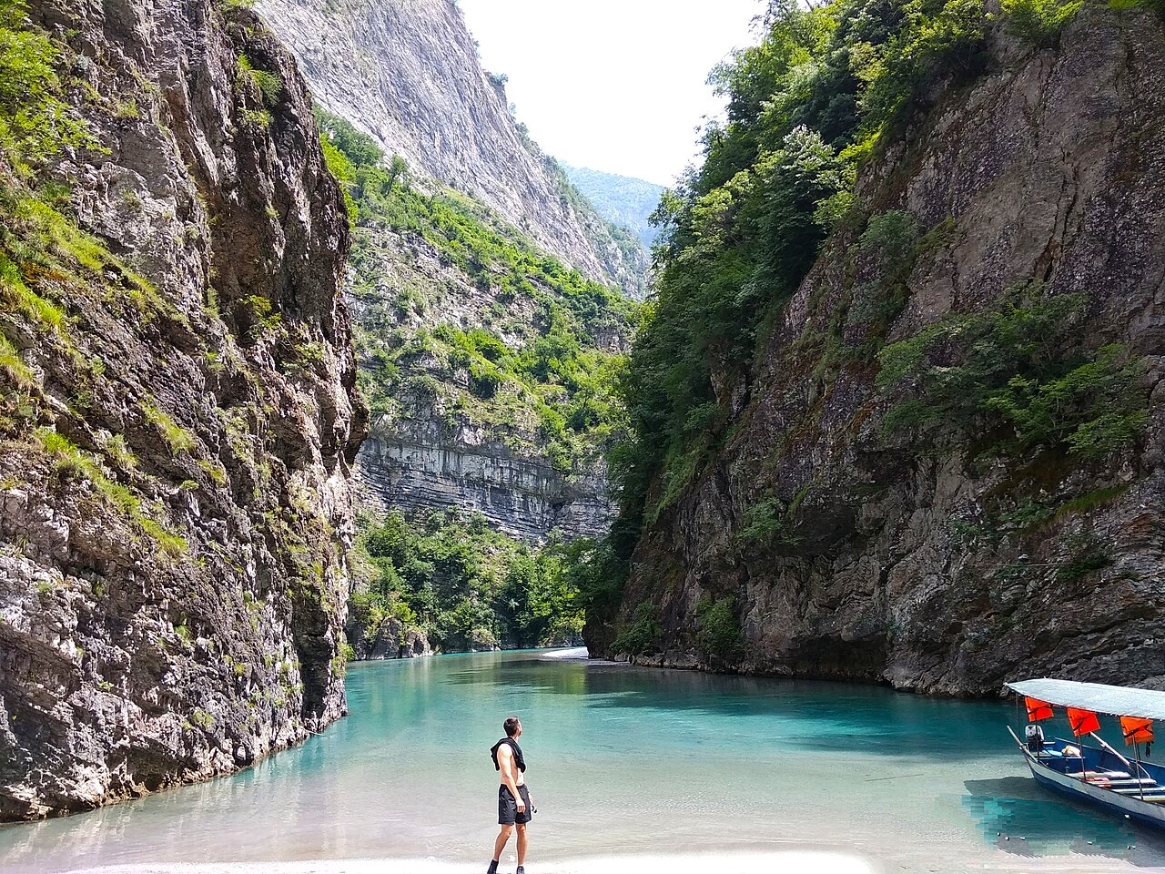
A tributary of the Drin above Koman, reached by boat and often called Albania's Thailand.
River · Shkodër
Albania's longest river and the backbone of its electricity system, dammed three times in the north.
River · Elbasan
The river that splits Albania in two — the historic dividing line between Gheg and Tosk.