Fluss · Gjirokastër
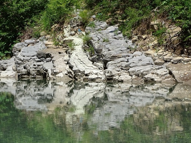
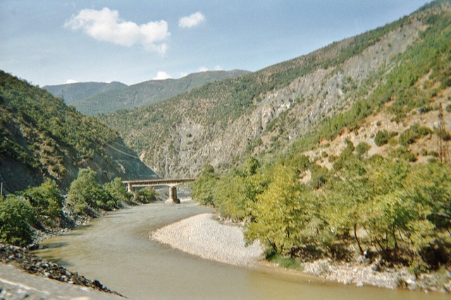
The Vjosa
One of the last large free-flowing rivers in Europe, declared a Wild River National Park in March 2023.
Jeder Kreis, jede Küste, jedes Jahrhundert
Geführte Ansicht
Neu in Albanien? Jede Seite beginnt mit einer einfachen Erklärung, die auch ein Zehnjähriger verstehen würde – bevor es ins Detail geht.
Expertenansicht
Sie kennen die Grundlagen bereits. Direkt zur Substanz, ohne die vereinfachten Erklärungen. Dies ist die Standardeinstellung.
Orte
Die Vjosa, einer der letzten Wildflüsse Europas, und Shala, Osum, Drin, Shkumbin und Buna.
Fluss · Gjirokastër
One of the last large free-flowing rivers in Europe, declared a Wild River National Park in March 2023.
Fluss · Shkodër
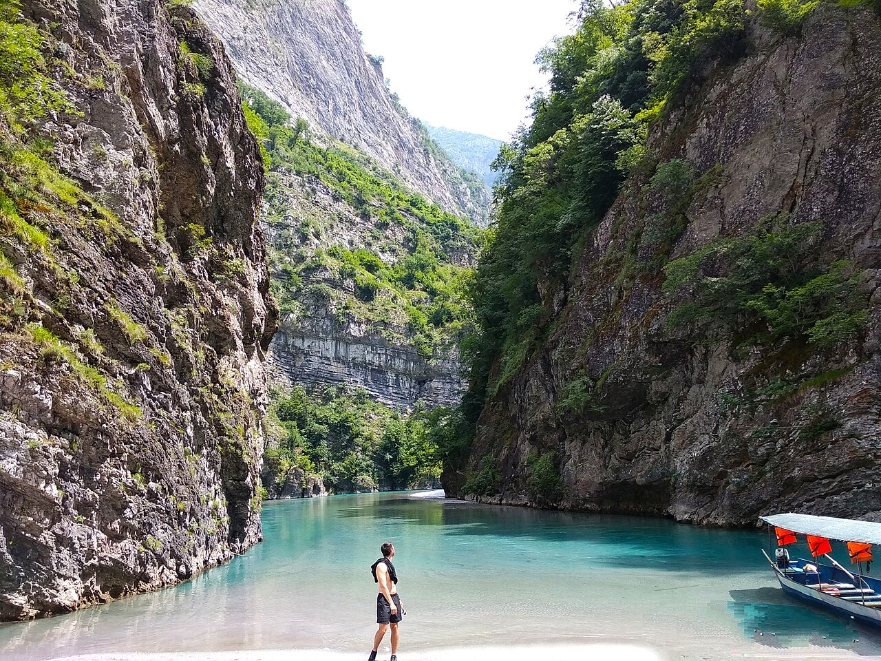
A tributary of the Drin above Koman, reached by boat and often called Albania's Thailand.
Fluss · Shkodër
Albania's longest river and the backbone of its electricity system, dammed three times in the north.
Fluss · Elbasan
The river that splits Albania in two — the historic dividing line between Gheg and Tosk.