山脉 · Shkodër
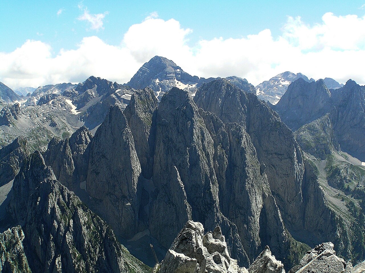
The Albanian Alps
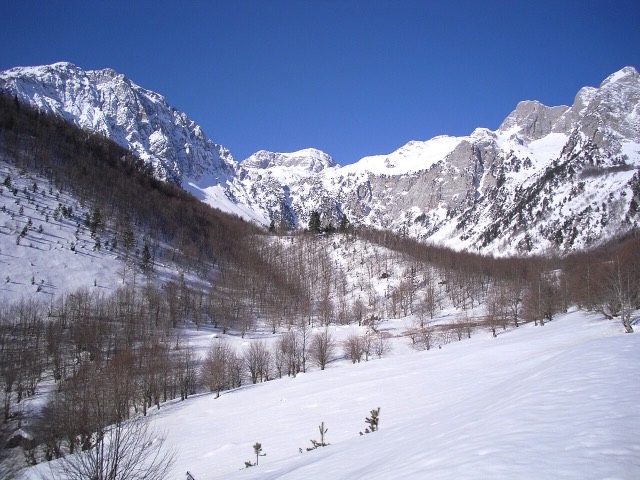
The limestone wall of the far north — locally the Accursed Mountains — shared with Montenegro and Kosovo.
每个县、每段海岸、每个世纪
引导视图
初次了解阿尔巴尼亚?每个页面均以通俗易懂的说明开篇——即便是十岁的孩子也能读懂——随后再展开详细内容。
专业视图
您已掌握基础知识。直接进入正题,简明解释默认隐藏。此为默认模式。
地点
北部的阿尔巴尼亚阿尔卑斯山,东部边境的科拉布山,培拉特上方的托莫尔山,以及里维埃拉上方的凯劳尼亚山脊。
山脉 · Shkodër
The limestone wall of the far north — locally the Accursed Mountains — shared with Montenegro and Kosovo.
山峰 · Shkodër
At 2,694 m the highest peak entirely inside the Dinaric Alps, deep in the Albanian Alps.
山峰 · Dibër
At 2,764 m the highest point in both Albania and North Macedonia, on the border ridge.
山脉 · Vlorë
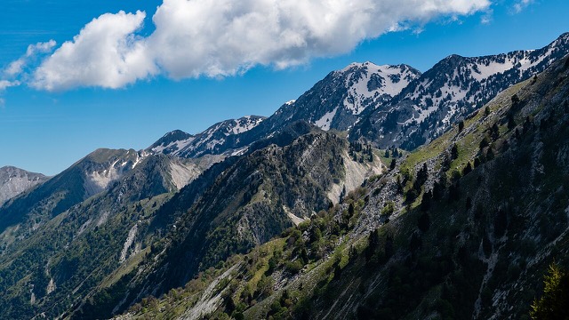
The coastal ridge that makes the Riviera: 2,000 m peaks rising directly out of the Ionian.
山峰 · Berat
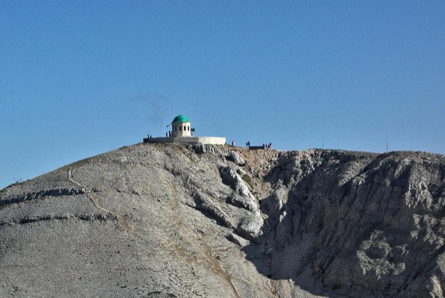
A 2,416 m massif above Berat, and the site of an annual Bektashi pilgrimage each August.
山峰 · Vlorë
The 2,045 m high point of the Ceraunian ridge, directly above the Riviera coast.
山峰 · Tiranë
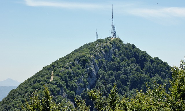
Tirana's own mountain: 1,613 m, a national park, and a 4.2 km cable car from the city edge.