산맥 · Shkodër
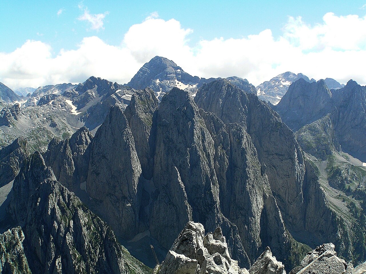
The Albanian Alps
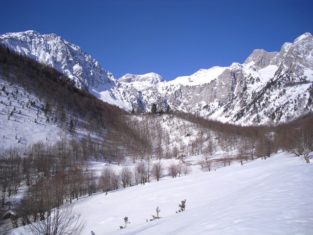
The limestone wall of the far north — locally the Accursed Mountains — shared with Montenegro and Kosovo.
모든 주, 모든 해안, 모든 세기
안내 보기
알바니아가 처음이신가요? 모든 페이지는 세부 내용이 시작되기 전에, 열 살짜리 아이도 이해할 수 있는 평이한 설명으로 시작됩니다.
전문가 보기
기본 내용은 이미 알고 계신가요? 간단한 설명은 숨기고 핵심 내용만 바로 확인하세요. 이것이 기본 설정입니다.
장소
북쪽의 알바니아 알프스, 동쪽 국경의 코라브산, 베라트 위의 토모르산, 그리고 리비에라 위의 케라우니아 산릉.
산맥 · Shkodër
The limestone wall of the far north — locally the Accursed Mountains — shared with Montenegro and Kosovo.
산 · Shkodër
At 2,694 m the highest peak entirely inside the Dinaric Alps, deep in the Albanian Alps.
산 · Dibër
At 2,764 m the highest point in both Albania and North Macedonia, on the border ridge.
산맥 · Vlorë
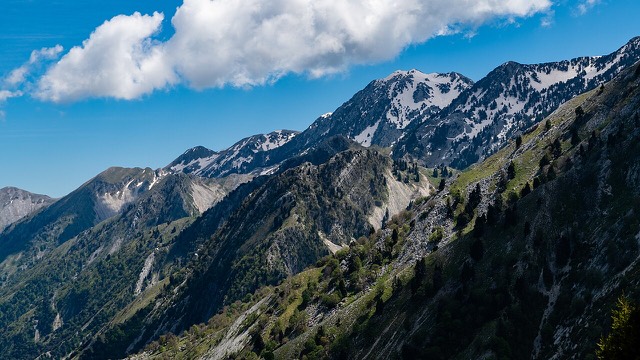
The coastal ridge that makes the Riviera: 2,000 m peaks rising directly out of the Ionian.
산 · Berat
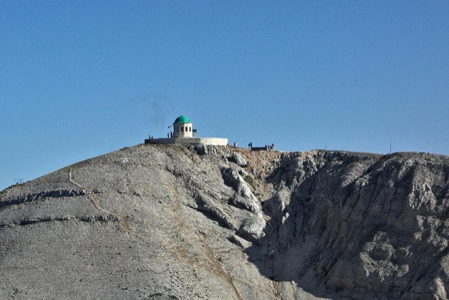
A 2,416 m massif above Berat, and the site of an annual Bektashi pilgrimage each August.
산 · Vlorë
The 2,045 m high point of the Ceraunian ridge, directly above the Riviera coast.
산 · Tiranë
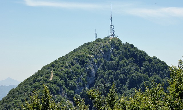
Tirana's own mountain: 1,613 m, a national park, and a 4.2 km cable car from the city edge.