山脈 · Shkodër
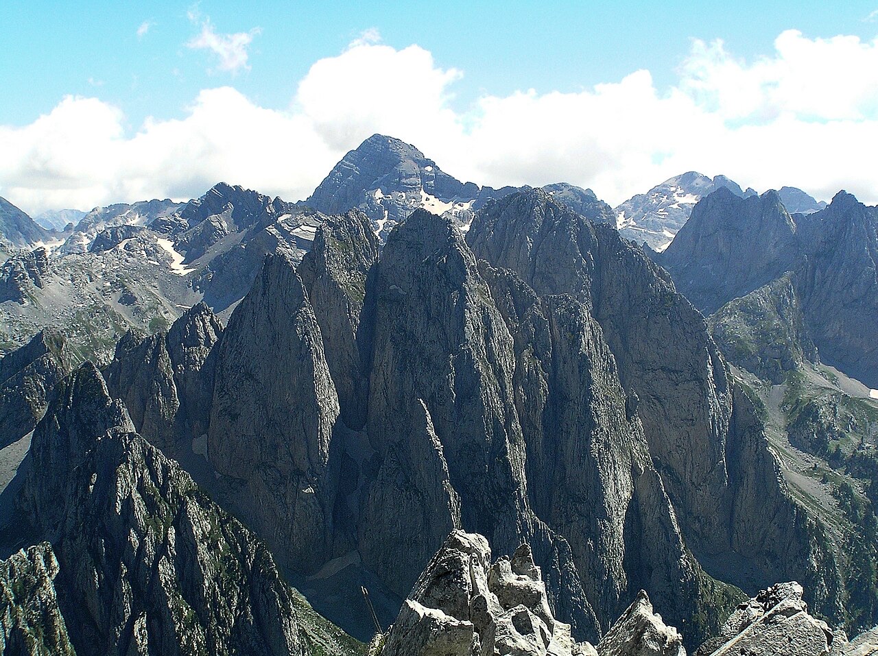
The Albanian Alps
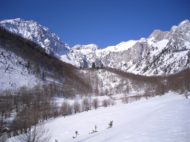
The limestone wall of the far north — locally the Accursed Mountains — shared with Montenegro and Kosovo.
すべての県、すべての海岸、すべての世紀
ガイドビュー
アルバニアを初めて知る方へ。各ページは、詳細に入る前に、10歳の子どもにも読み聞かせられる平易な説明から始まります。
エキスパートビュー
基本知識はすでにお持ちの方向け。平易な説明を非表示にし、内容を直接表示します。これがデフォルトです。
場所
北のアルバニア・アルプス、東の国境のコラプ山、ベラトを見下ろすトモール山、そしてリヴィエラの上にそびえるケラウニア山脈。
山脈 · Shkodër
The limestone wall of the far north — locally the Accursed Mountains — shared with Montenegro and Kosovo.
山 · Shkodër
At 2,694 m the highest peak entirely inside the Dinaric Alps, deep in the Albanian Alps.
山 · Dibër
At 2,764 m the highest point in both Albania and North Macedonia, on the border ridge.
山脈 · Vlorë
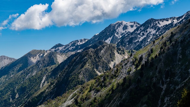
The coastal ridge that makes the Riviera: 2,000 m peaks rising directly out of the Ionian.
山 · Berat
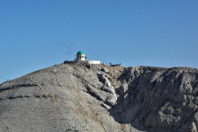
A 2,416 m massif above Berat, and the site of an annual Bektashi pilgrimage each August.
山 · Vlorë
The 2,045 m high point of the Ceraunian ridge, directly above the Riviera coast.
山 · Tiranë
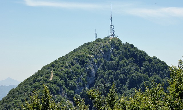
Tirana's own mountain: 1,613 m, a national park, and a 4.2 km cable car from the city edge.