Catena montuosa · Shkodër
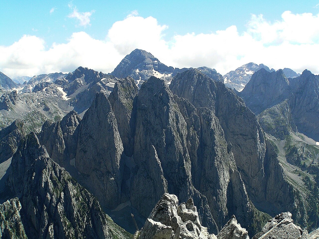
The Albanian Alps
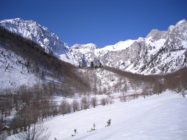
The limestone wall of the far north — locally the Accursed Mountains — shared with Montenegro and Kosovo.
Ogni contea, ogni costa, ogni secolo
Vista guidata
Non conosci l'Albania? Ogni pagina si apre con una spiegazione in linguaggio semplice, comprensibile anche a un bambino di dieci anni, prima di entrare nei dettagli.
Vista per esperti
Conosci già le basi. Direttamente alla sostanza, con le spiegazioni elementari nascoste. Questa è l'impostazione predefinita.
Luoghi
Le Alpi albanesi a nord, il monte Korab sul confine orientale, il Tomorr sopra Berat e la cresta dei Cerauni sopra la Riviera.
Catena montuosa · Shkodër
The limestone wall of the far north — locally the Accursed Mountains — shared with Montenegro and Kosovo.
Montagna · Shkodër
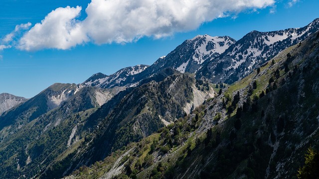
At 2,694 m the highest peak entirely inside the Dinaric Alps, deep in the Albanian Alps.
Montagna · Dibër
At 2,764 m the highest point in both Albania and North Macedonia, on the border ridge.
Catena montuosa · Vlorë
The coastal ridge that makes the Riviera: 2,000 m peaks rising directly out of the Ionian.
Montagna · Berat
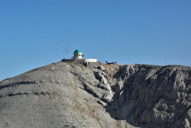
A 2,416 m massif above Berat, and the site of an annual Bektashi pilgrimage each August.
Montagna · Vlorë
The 2,045 m high point of the Ceraunian ridge, directly above the Riviera coast.
Montagna · Tiranë
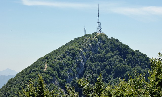
Tirana's own mountain: 1,613 m, a national park, and a 4.2 km cable car from the city edge.