पर्वत श्रृंखला · Shkodër
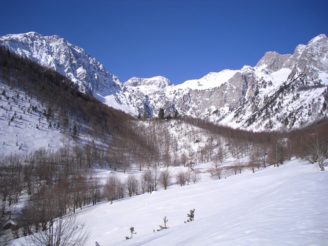
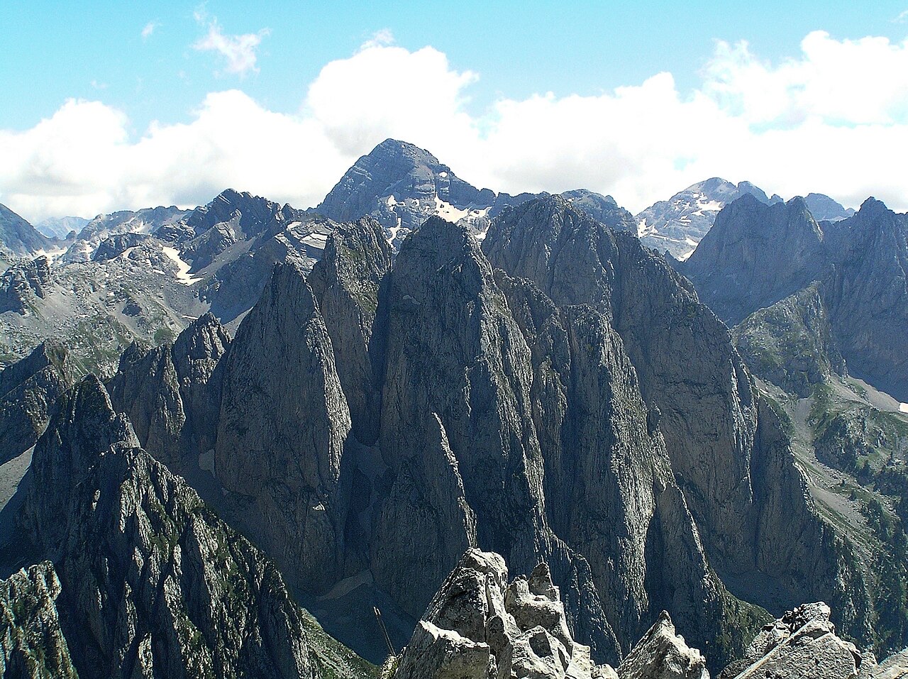
The Albanian Alps
The limestone wall of the far north — locally the Accursed Mountains — shared with Montenegro and Kosovo.
हर काउंटी, हर तट, हर सदी
निर्देशित दृश्य
Albania में नए हैं? हर पृष्ठ एक सरल-भाषा स्पष्टीकरण के साथ खुलता है जिसे आप किसी दस वर्षीय बच्चे को पढ़ कर सुना सकते हैं, इससे पहले कि विस्तृत जानकारी शुरू हो।
विशेषज्ञ दृश्य
आप मूल बातें पहले से जानते हैं। सीधे मूल विषय पर, सरल स्पष्टीकरण छिपे हुए। यह डिफ़ॉल्ट है।
स्थान
उत्तर में अल्बानियाई आल्प्स, पूर्वी सीमा पर कोराब पर्वत, बेरात के ऊपर तोमोर और रिवेरा के ऊपर सेरौनियन पर्वतश्रेणी।
पर्वत श्रृंखला · Shkodër
The limestone wall of the far north — locally the Accursed Mountains — shared with Montenegro and Kosovo.
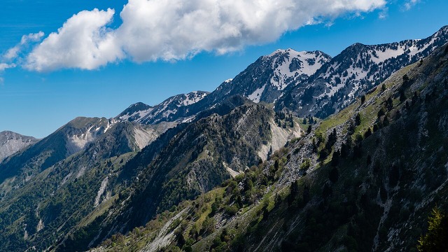
पर्वत · Shkodër
At 2,694 m the highest peak entirely inside the Dinaric Alps, deep in the Albanian Alps.
पर्वत · Dibër
At 2,764 m the highest point in both Albania and North Macedonia, on the border ridge.
पर्वत श्रृंखला · Vlorë
The coastal ridge that makes the Riviera: 2,000 m peaks rising directly out of the Ionian.
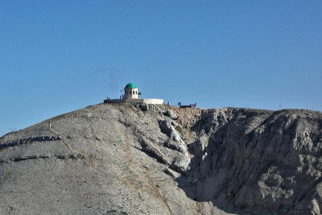
पर्वत · Berat
A 2,416 m massif above Berat, and the site of an annual Bektashi pilgrimage each August.
पर्वत · Vlorë
The 2,045 m high point of the Ceraunian ridge, directly above the Riviera coast.
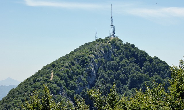
पर्वत · Tiranë
Tirana's own mountain: 1,613 m, a national park, and a 4.2 km cable car from the city edge.