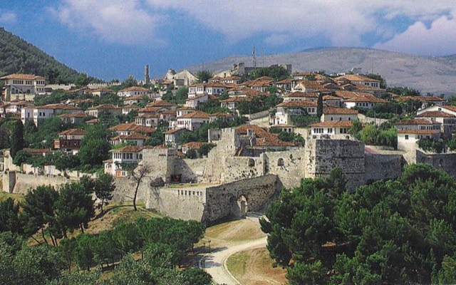
城市 · Berat
Berat
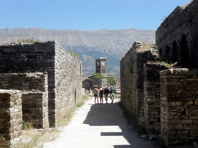
The 'city of a thousand windows': an Ottoman hill town under a still-inhabited castle, UNESCO-listed since 2008.
每个县、每段海岸、每个世纪
引导视图
初次了解阿尔巴尼亚?每个页面均以通俗易懂的说明开篇——即便是十岁的孩子也能读懂——随后再展开详细内容。
专业视图
您已掌握基础知识。直接进入正题,简明解释默认隐藏。此为默认模式。
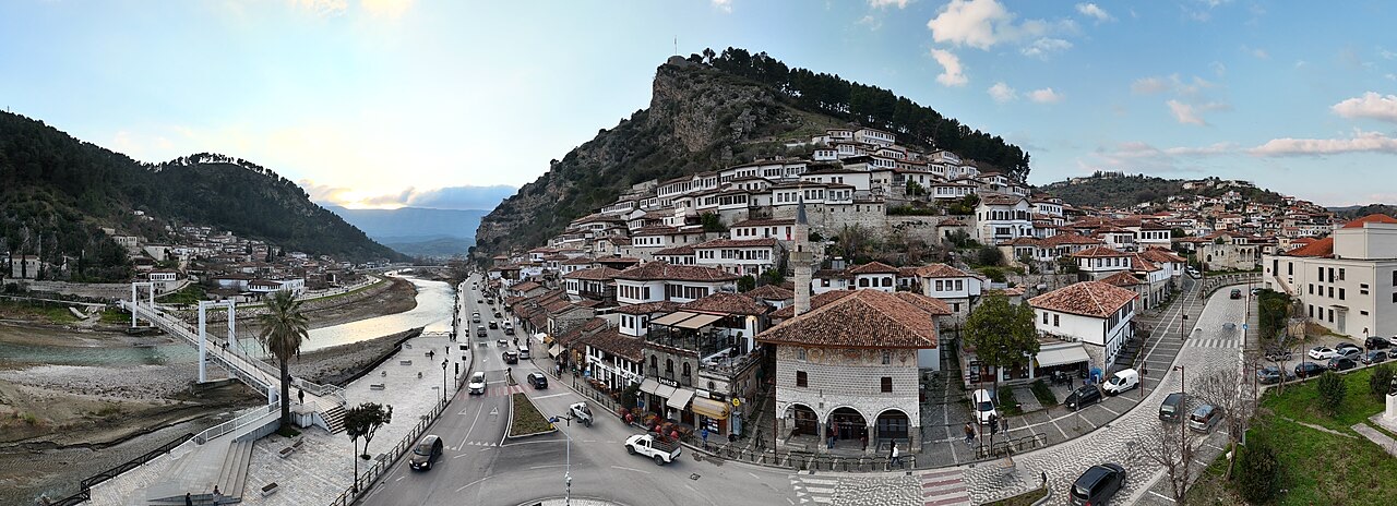
地点
从首都地拉那,到奥斯曼时代的石头城培拉特和吉罗卡斯特,再到古老的港口都拉斯和发罗拉。
城市 · Berat
The 'city of a thousand windows': an Ottoman hill town under a still-inhabited castle, UNESCO-listed since 2008.
城市 · Gjirokastër
The 'stone city': slate-roofed tower houses on a steep slope beneath one of the Balkans' largest castles.
城市 · Tiranë
The capital: a fast-changing city of painted blocks, Ottoman survivals and new towers, under Mount Dajti.
城市 · Shkodër
The cultural capital of the north: a lake, a fortress, a bicycle city and a Catholic heartland.
城市 · Vlorë
The Ionian resort town facing Corfu, and the arrival point for most visitors to southern Albania.
城市 · Vlorë
Where the Adriatic meets the Ionian, and where Albanian independence was declared in 1912.
城市 · Durrës
Albania's principal port and its oldest continuously inhabited city, founded as Epidamnos in 627 BC.
城市 · Korçë
The highland city of serenades, the first Albanian-language school, and the country's oldest brewery.
城市 · Elbasan
A central industrial city inside an Ottoman fortress wall, on the old Via Egnatia.