Condado
Dibër County
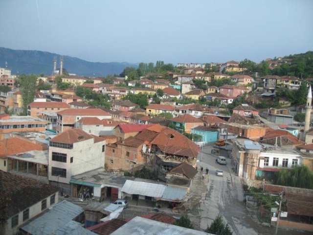
Albania's mountain interior on the North Macedonian border, containing Mount Korab.
Cada condado, cada costa, cada século
Vista guiada
Novo na Albânia? Cada página começa com uma explicação em linguagem simples, acessível a uma criança de dez anos, antes de entrar em pormenor.
Vista para especialistas
Já conhece o essencial. Direto ao conteúdo, com as explicações simples ocultadas. Esta é a vista predefinida.
Montanha · Dibër County
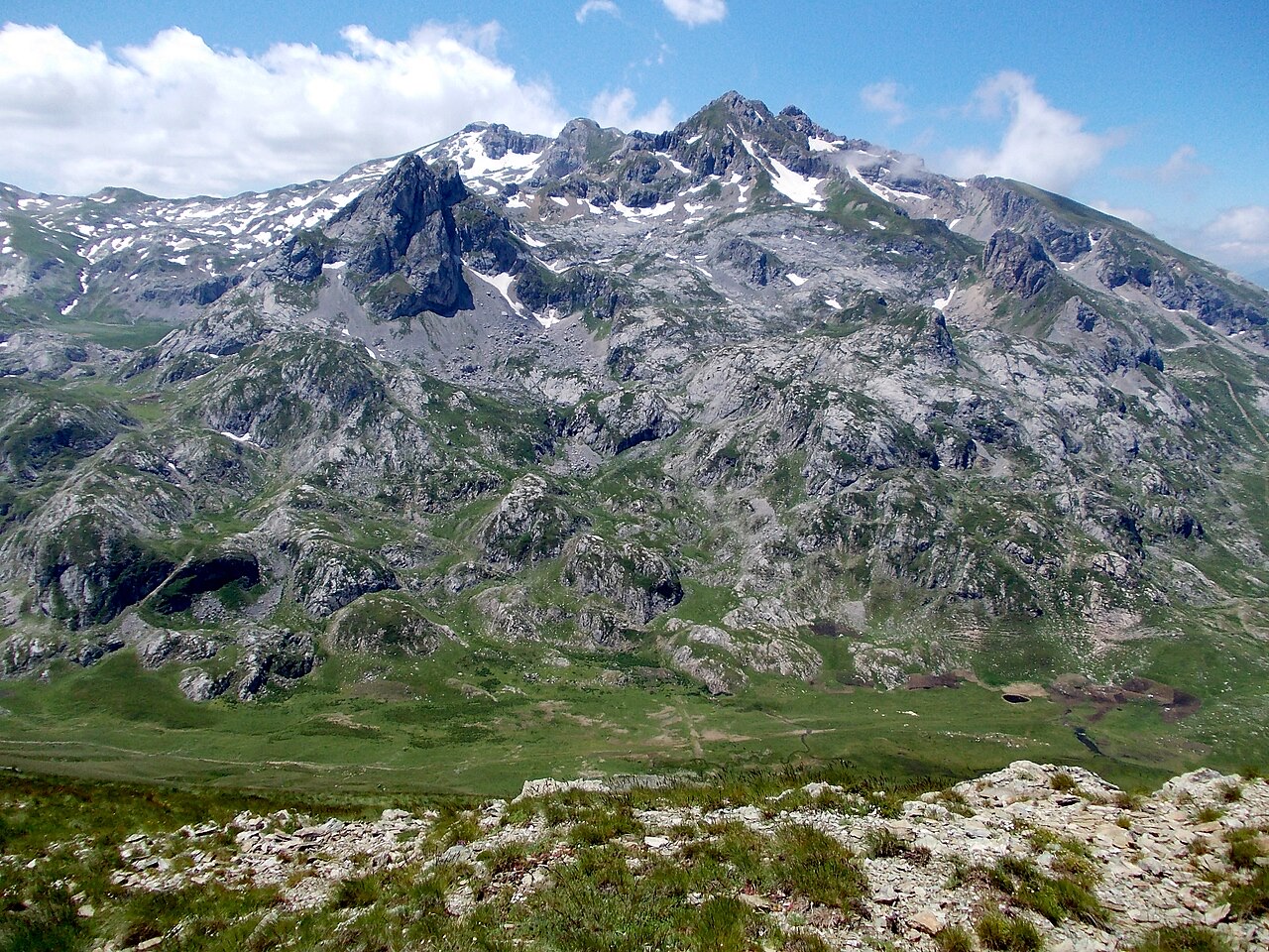
At 2,764 m the highest point in both Albania and North Macedonia, on the border ridge.
Guardar
Korab is the tallest mountain in Albania. Its top is exactly on the border with North Macedonia, so it is the highest point of both countries. People climb it in summer, usually in a long day from the Albanian side.
Korab is the tallest mountain in Albania. Its top is exactly on the border with North Macedonia, so it is the highest point of both countries. People climb it in summer, usually in a long day from the Albanian side.
The Korab mountain range runs along the border between eastern Albania and western North Macedonia, extending approximately 40 kilometres (25 miles) from the Dibër Valley in a north–south direction. It lies between the river valleys of the Black Drin to the west and the Radika, a tributary of the Black Drin, to the east. The range is situated near the tripoint of Albania, North Macedonia, and Kosovo, southwest of the Šar Mountains.
The Drin Valley lies roughly 400 metres (1,300 feet) above sea level to the west of the range, while the bed of the Radika sits at approximately 1,000 metres (3,300 feet) above sea level. The Korab range also forms part of the European Green Belt. In Albania, the range is also referred to as Vargu lindor, meaning Eastern Range in English, though this term is used more broadly and encompasses mountains further north, including Koritnik and Gjallica.
The highest point in the Korab range is Mount Korab, reaching 2,764 metres (9,068 feet) above sea level. This makes it the highest peak in both Albania and North Macedonia. With a topographic prominence of 2,169 metres (7,116 feet), it ranks as the 18th most prominent mountain peak on the European continent.
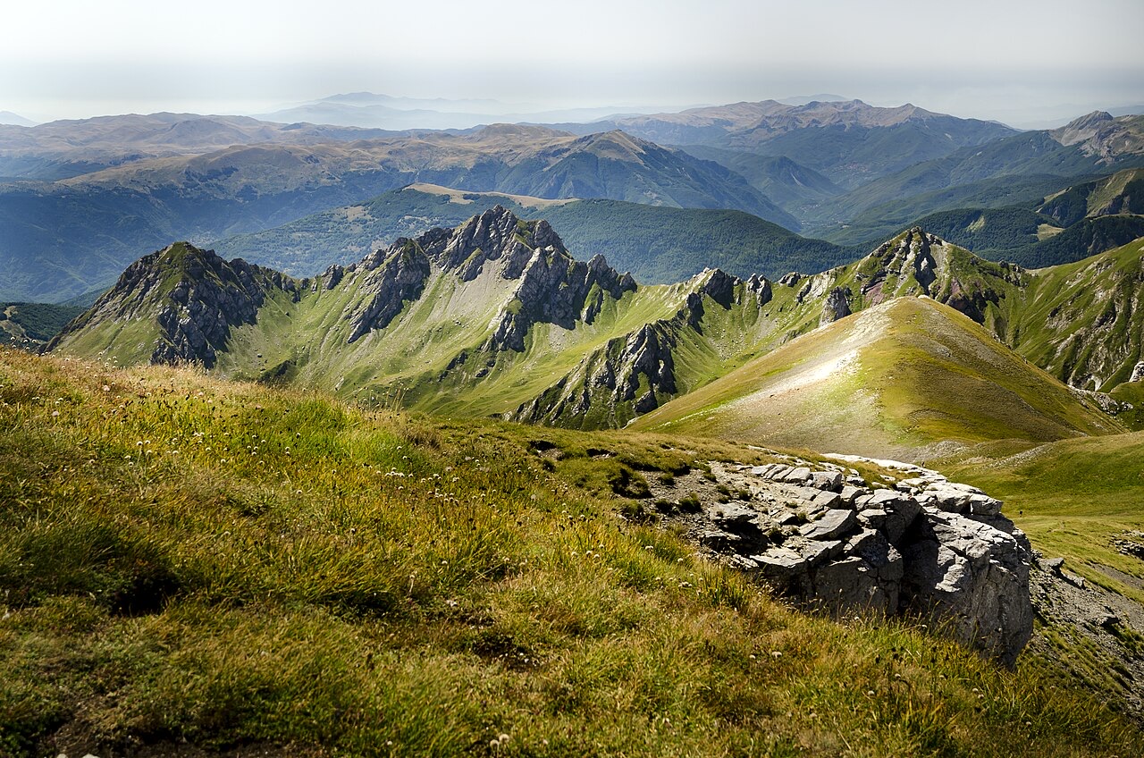
Immediately to the north of the double-peaked summit, the article notes numerous other peaks of comparable height that remain unnamed. Approximately 2 kilometres (1.2 miles) to the southwest lies Korab-Pforte, known in Albanian as Maja Portat e Korabit and in Macedonian as Mala Korapska Vrata, which reaches 2,727 metres (8,947 feet). A few hundred metres further south stand Maja e Moravës at 2,718 metres (8,917 feet) and Mali i Gramës at 2,345 metres (7,694 feet).
South of the cluster of high peaks around Mount Korab, the range contains several further large mountains. Mali i Gramës reaches 2,345 metres (7,694 feet), and the Velivar summit of Dešat rises to 2,375 metres (7,792 feet). Beyond these peaks, the terrain descends toward the city of Debar and Debar Lake.
The city of Peshkopi lies to the southwest of Mali i Gramës. The article notes that Peshkopi has geothermal baths, though no further detail about them is provided.
The Korab range is composed primarily of sedimentary rock. The rock types present include shale, sandstone, dolomite, and limestone. The geology of the area is characterised by exposed faulted sedimentary rock forming the mountain peaks, with valleys that contain glacial lakes.
The combination of faulted geology and glacial action has shaped both the high ridgelines and the lower valley floors throughout the range. The mountains immediately around the Korab massif are noted specifically as being composed of shale and limestone.
The name Korab derives from a Macedonian word meaning 'large boat'. In Albanian the mountain range is called Mali i Korabit, while in Macedonian it is written Кораб.
Within Albania, the broader regional term Vargu lindor (Eastern Range) is also applied to this area, though the designation extends further north to include other mountain groups such as Koritnik and Gjallica.
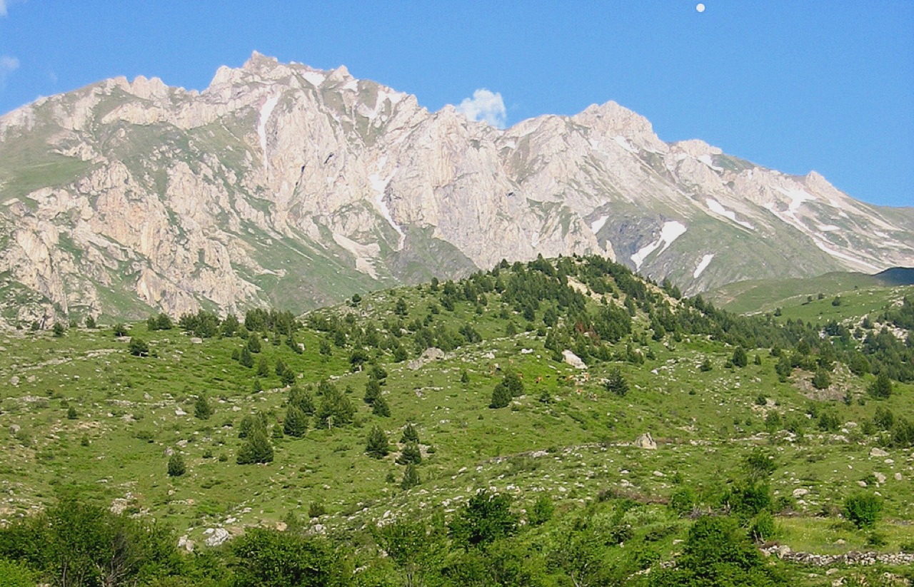
Much of the Korab range is protected under nature park designations. A prominent example is the Korab-Koritnik Nature Park, which covers a significant portion of the Albanian side of the range.
The range also forms part of the European Green Belt, the international conservation corridor that follows the line of the former Iron Curtain across the continent. No further detail about the boundaries or management of these protected areas is provided in the source article.
The Albanian section of the Korab range contains numerous high peaks and subsidiary ridges, described in the source article as almost matching the Korab massif itself in elevation. The concentration of peaks above 2,700 metres makes this one of the highest mountain areas in Albania.
The Albanian name for the highest sub-peak southwest of the main summit is Maja Portat e Korabit, the equivalent of the German-language designation Korab-Pforte. The presence of multiple peaks clustered closely together, combined with the glacial geology of the valleys, defines the character of this portion of the range.
O mês mais quente é August (temperatura máxima média diária 14°C), o mais frio é January (temperatura mínima média diária -14°C), e o mais chuvoso é December (129 mm). A precipitação total anual média é 1,174 mm.
| Mês | Máx. | Mín. | Chuva | Dias com chuva | Sol/dia |
|---|---|---|---|---|---|
| January | -7°C | -14°C | 121 mm | 12 | 6.4 h |
| February | -6°C | -13°C | 102 mm | 11 | 7.5 h |
| March | -4°C | -11°C | 107 mm | 12 | 8.9 h |
| April | 0°C | -7°C | 108 mm | 15 | 10.0 h |
| May | 6°C | -2°C | 109 mm | 17 | 11.2 h |
| June | 11°C | 2°C | 81 mm | 14 | 13.1 h |
| July | 14°C | 4°C | 64 mm | 11 | 13.4 h |
| August | 14°C | 4°C | 57 mm | 10 | 12.4 h |
| September | 9°C | 0°C | 85 mm | 11 | 10.1 h |
| October | 5°C | -3°C | 89 mm | 10 | 8.4 h |
| November | -0°C | -8°C | 122 mm | 12 | 6.6 h |
| December | -6°C | -12°C | 129 mm | 13 | 5.8 h |
Fonte: ERA5 reanalysis via Open-Meteo, 1994–2023 · "Máx." e "Mín." são as temperaturas do ar máxima e mínima médias diárias. "Dias com chuva" conta os dias com pelo menos 1 mm de precipitação.
Condado
Albania's mountain interior on the North Macedonian border, containing Mount Korab.
Vila · Dibër
The seat of Dibër County, known for thermal springs and the high pastures below Mount Korab.
Cordilheira · Shkodër
The limestone wall of the far north — locally the Accursed Mountains — shared with Montenegro and Kosovo.
Algo errado nesta página? As correções são bem-vindas e verificadas em confronto com o registo de origem. Indique o que está errado e, se possível, de onde provém o valor correto.