City · Tiranë
Tirana
The capital: a fast-changing city of painted blocks, Ottoman survivals and new towers, under Mount Dajti.
Every county, coast and century
Guided view
New to Albania? Every page opens with a plain-language explanation you could read to a ten-year-old, before the detail begins.
Expert view
You already know the basics. Straight to the substance, with the simple explanations hidden. This is the default.
Mountain · Tiranë County
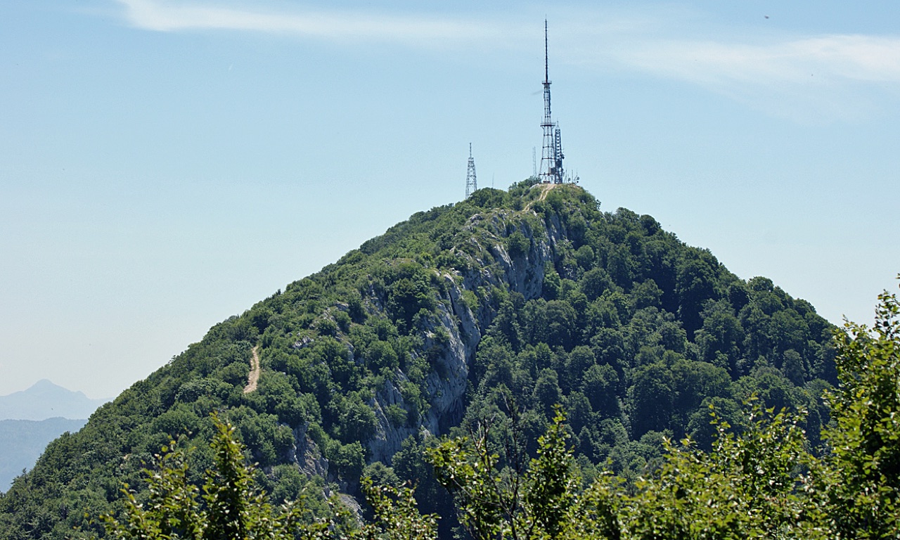
Tirana's own mountain: 1,613 m, a national park, and a 4.2 km cable car from the city edge.
Save
Dajti is the mountain right behind Tirana. A cable car carries people up from the edge of the city in about 15 minutes, and from the top you can see the whole capital and, on a clear day, the sea.
Dajti is the mountain right behind Tirana. A cable car carries people up from the edge of the city in about 15 minutes, and from the top you can see the whole capital and, on a clear day, the sea.
Mount Dajti lies in central Albania, directly east of Tirana, and forms part of the Skanderbeg Mountains range. The mountain extends from Shkalla e Tujanit in the northwest to Qafa e Priskës in the southeast, covering a length of 8 km (5.0 mi) and a width of 5 km (3.1 mi).
The highest point, Maja e Dajtit, reaches 1,613 m (5,292 ft). Two subsidiary peaks stand somewhat lower: Maja e Cem Rrumit at 1,571 m (5,154 ft) and Maja e Tujanit at 1,531 m (5,023 ft).
Dajti is composed primarily of Cretaceous and Paleogene limestone, with notable karst formations throughout its mass. The upper section of the mountain is barren of vegetation, a condition consistent with exposed limestone terrain, while the lower section up to 600 m (2,000 ft) consists of flysch.
The mountain's ridge is undulating and asymmetric in profile: the eastern slope is steep, while the western slope descends more gradually onto the plain of Tirana. A distinctive feature of the western descent is an ancient marine terrace known as Fusha e Dajtit, which was formed during the Miocene era.
Dajti experiences a cool mountain climate. At elevations of approximately 1,000 m (3,300 ft), the average temperature is 12 °C (54 °F). January is the coldest month, with an average of 3.2 °C (38 °F), while July is the warmest, averaging 20.4 °C (69 °F).
Annual precipitation averages 1,520 mm (60 in). A significant portion of this total falls as snow, which accumulates on the upper parts of the mountain during winter months.
The western slope of Dajti is organised into three distinct vegetation belts determined by altitude. The lowest belt, reaching up to 600 m (2,000 ft), is covered by Mediterranean shrubs including strawberry tree, juniper, and heather. Above this, from 600 m to 1,000 m, oak forest dominates the middle belt.
Above 1,400 m, the upper belt carries a mixture of beech and conifer trees. Beyond this zone, the peak itself is devoid of vegetation. The summit is occupied by the central antenna of RTSH, the Albanian public broadcaster.
The vegetation on the eastern slope differs in notable ways from that of the western side. The Mediterranean shrub zone is smaller in extent on the east, and the slope supports oaks, chestnuts, and other tree species that are absent on the western slope.
This difference in species composition reflects the contrasting exposure and microclimate of the two faces of the mountain, with the steeper eastern side presenting different conditions for plant communities.
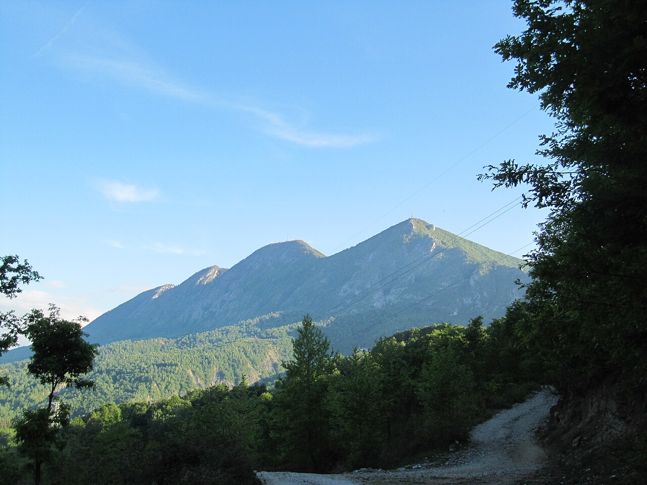
The mountain and its surrounding habitat are designated as a national park. This status applies to the section of Dajti and the adjacent terrain, providing a formal conservation framework for the area's ecosystems.
The national park encompasses the range of vegetation belts described on both slopes, from the Mediterranean shrub zone at lower elevations through to the exposed limestone peak, protecting biodiversity across the full altitudinal gradient.
Dajti has three named peaks of significance. Maja e Dajtit, the highest at 1,613 m (5,292 ft), is the principal summit. Maja e Cem Rrumit at 1,571 m (5,154 ft) and Maja e Tujanit at 1,531 m (5,023 ft) are the other two recorded peaks within the massif.
The summit area of Maja e Dajtit serves a functional infrastructure role as the base for RTSH's central antenna, making it a site of both natural and broadcasting significance for the Albanian capital situated immediately to the west.
City · Tiranë
The capital: a fast-changing city of painted blocks, Ottoman survivals and new towers, under Mount Dajti.
Lake · Tiranë
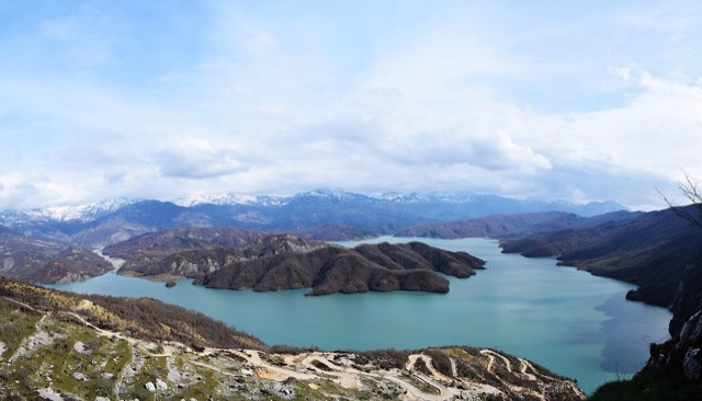
Tirana's drinking-water reservoir, ringed by limestone cliffs half an hour from the capital.
Historic site · Tiranë
A five-storey anti-nuclear bunker built for the communist leadership, opened to the public in 2014.
Something wrong on this page? Corrections are welcome and are checked against the source record. Tell us what is wrong and, if you can, where the right figure comes from.