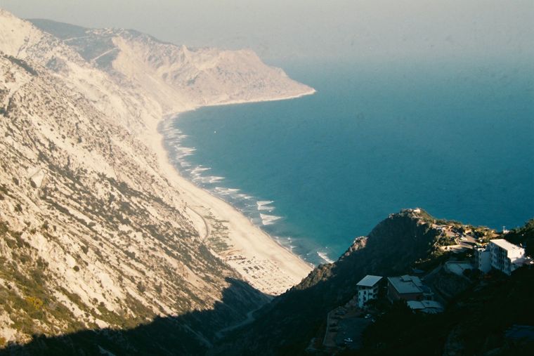
保护区 · Vlorë
Llogara National Park
A pine-forested pass at 1,027 m where the road drops from mountain forest to the Ionian in a few kilometres.
每个县、每段海岸、每个世纪
引导视图
初次了解阿尔巴尼亚?每个页面均以通俗易懂的说明开篇——即便是十岁的孩子也能读懂——随后再展开详细内容。
专业视图
您已掌握基础知识。直接进入正题,简明解释默认隐藏。此为默认模式。
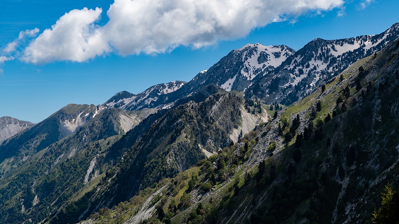
山峰 · Vlorë County
The 2,045 m high point of the Ceraunian ridge, directly above the Riviera coast.
保存
Çika is the highest peak of the mountains along the Riviera. From the top you can see both the coast below and far inland.
Çika is the highest peak of the mountains along the Riviera. From the top you can see both the coast below and far inland.
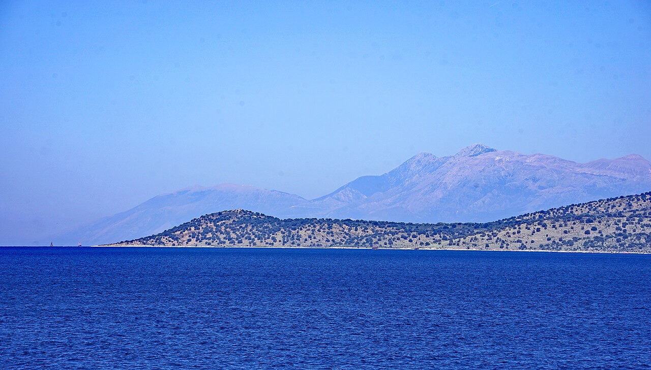
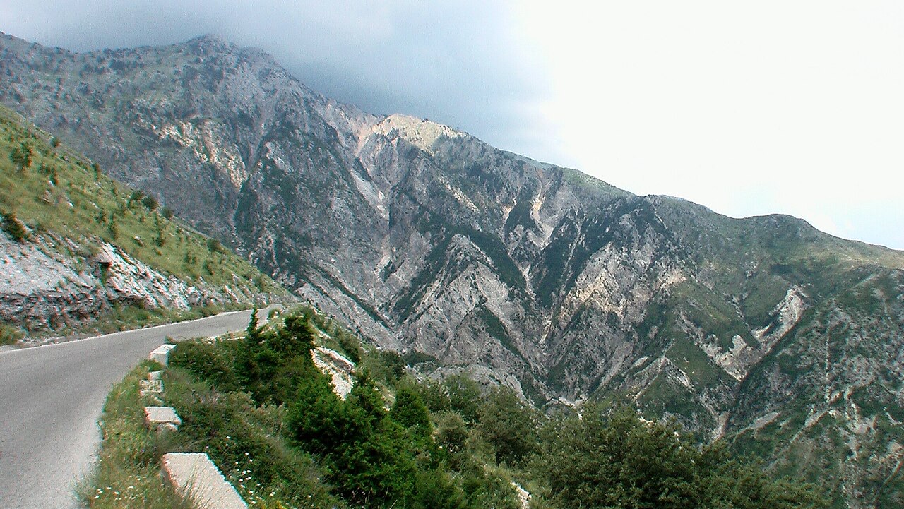
保护区 · Vlorë
A pine-forested pass at 1,027 m where the road drops from mountain forest to the Ionian in a few kilometres.
海滩 · Vlorë
The first Riviera beach south of the Llogara pass, below the road's most dramatic descent.
村庄 · Vlorë
An old white village on the slope above one of the Riviera's longest pebble beaches.
山脉 · Vlorë
The coastal ridge that makes the Riviera: 2,000 m peaks rising directly out of the Ionian.
本页内容有误? 欢迎提交更正意见,所有意见均会与原始记录核对。请告知错误所在,如能提供正确数据的出处,请一并注明。