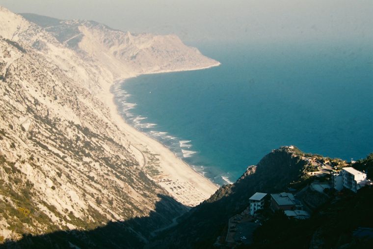
보호 구역 · Vlorë
Llogara National Park
A pine-forested pass at 1,027 m where the road drops from mountain forest to the Ionian in a few kilometres.
모든 주, 모든 해안, 모든 세기
안내 보기
알바니아가 처음이신가요? 모든 페이지는 세부 내용이 시작되기 전에, 열 살짜리 아이도 이해할 수 있는 평이한 설명으로 시작됩니다.
전문가 보기
기본 내용은 이미 알고 계신가요? 간단한 설명은 숨기고 핵심 내용만 바로 확인하세요. 이것이 기본 설정입니다.
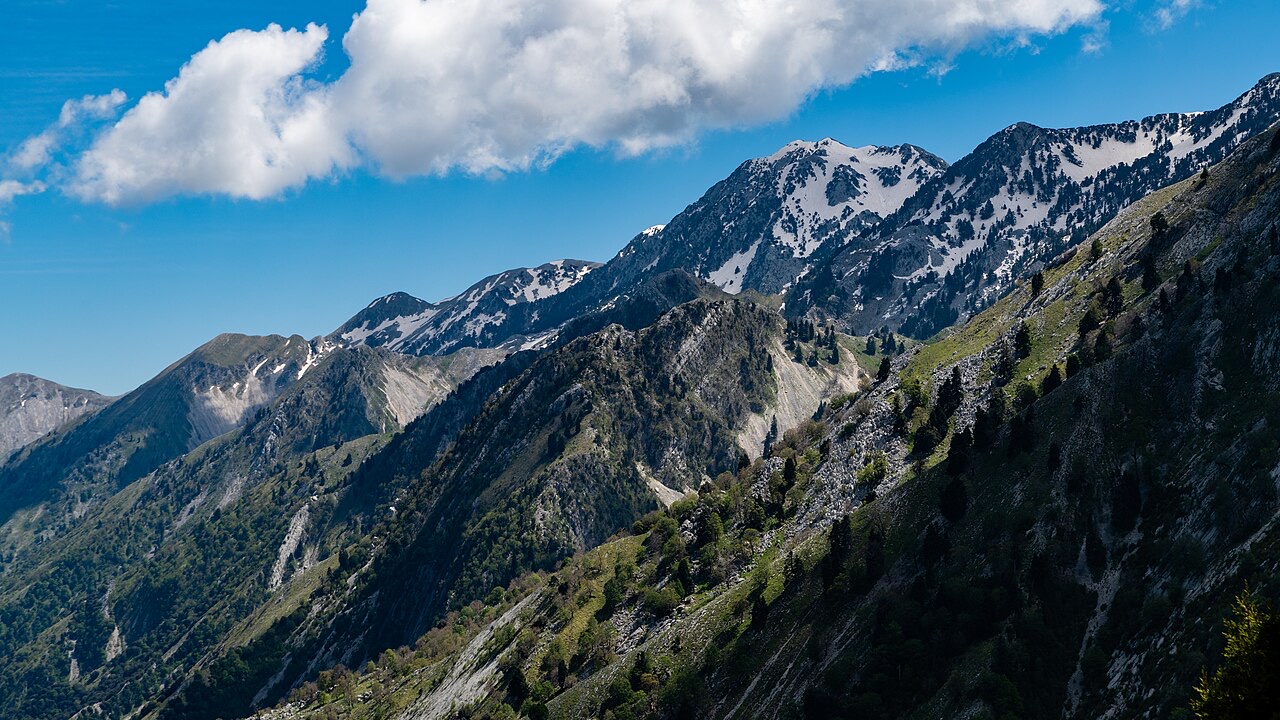
산 · Vlorë County
The 2,045 m high point of the Ceraunian ridge, directly above the Riviera coast.
저장
Çika is the highest peak of the mountains along the Riviera. From the top you can see both the coast below and far inland.
Çika is the highest peak of the mountains along the Riviera. From the top you can see both the coast below and far inland.
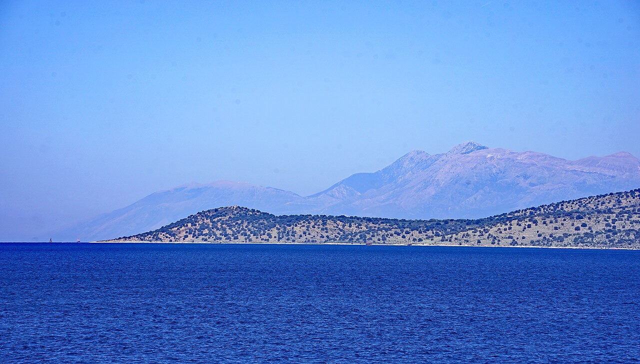
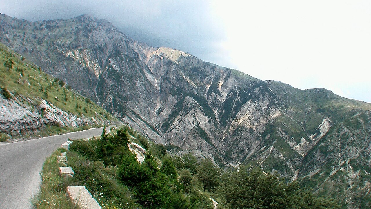
보호 구역 · Vlorë
A pine-forested pass at 1,027 m where the road drops from mountain forest to the Ionian in a few kilometres.
해변 · Vlorë
The first Riviera beach south of the Llogara pass, below the road's most dramatic descent.
마을 · Vlorë
An old white village on the slope above one of the Riviera's longest pebble beaches.
산맥 · Vlorë
The coastal ridge that makes the Riviera: 2,000 m peaks rising directly out of the Ionian.
이 페이지에 오류가 있습니까? 수정 제안을 환영하며, 출처 기록과 대조하여 검토합니다. 잘못된 내용과 가능하다면 올바른 수치의 출처를 알려 주십시오.