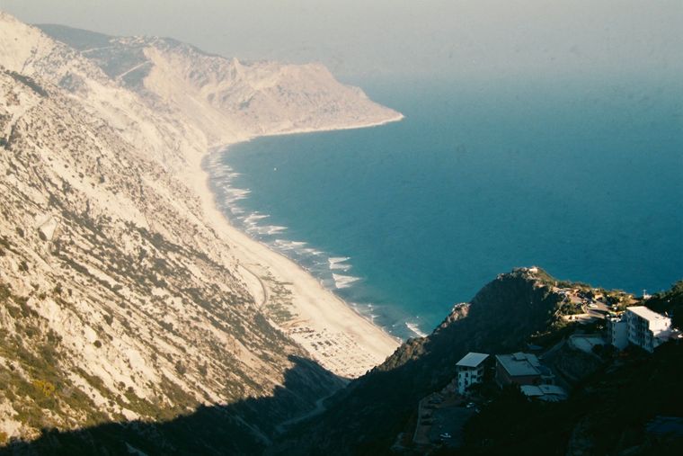
保護区域 · Vlorë
Llogara National Park
A pine-forested pass at 1,027 m where the road drops from mountain forest to the Ionian in a few kilometres.
すべての県、すべての海岸、すべての世紀
ガイドビュー
アルバニアを初めて知る方へ。各ページは、詳細に入る前に、10歳の子どもにも読み聞かせられる平易な説明から始まります。
エキスパートビュー
基本知識はすでにお持ちの方向け。平易な説明を非表示にし、内容を直接表示します。これがデフォルトです。
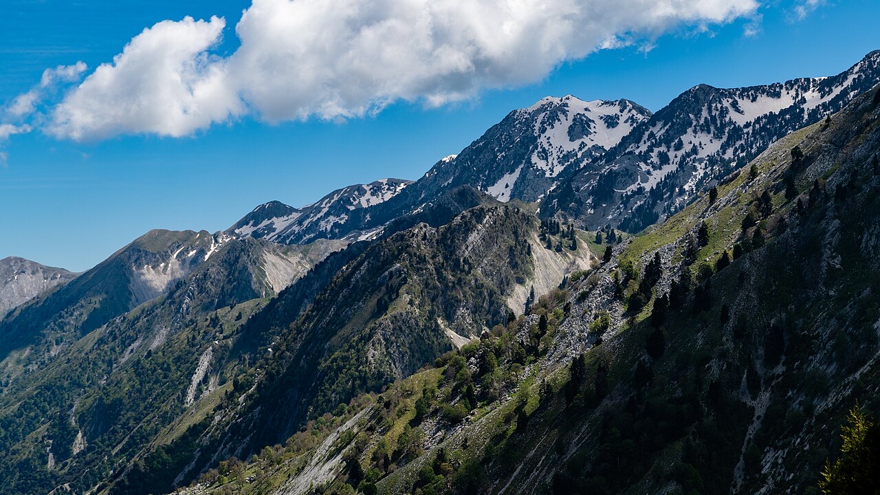
山 · Vlorë County
The 2,045 m high point of the Ceraunian ridge, directly above the Riviera coast.
保存
Çika is the highest peak of the mountains along the Riviera. From the top you can see both the coast below and far inland.
Çika is the highest peak of the mountains along the Riviera. From the top you can see both the coast below and far inland.
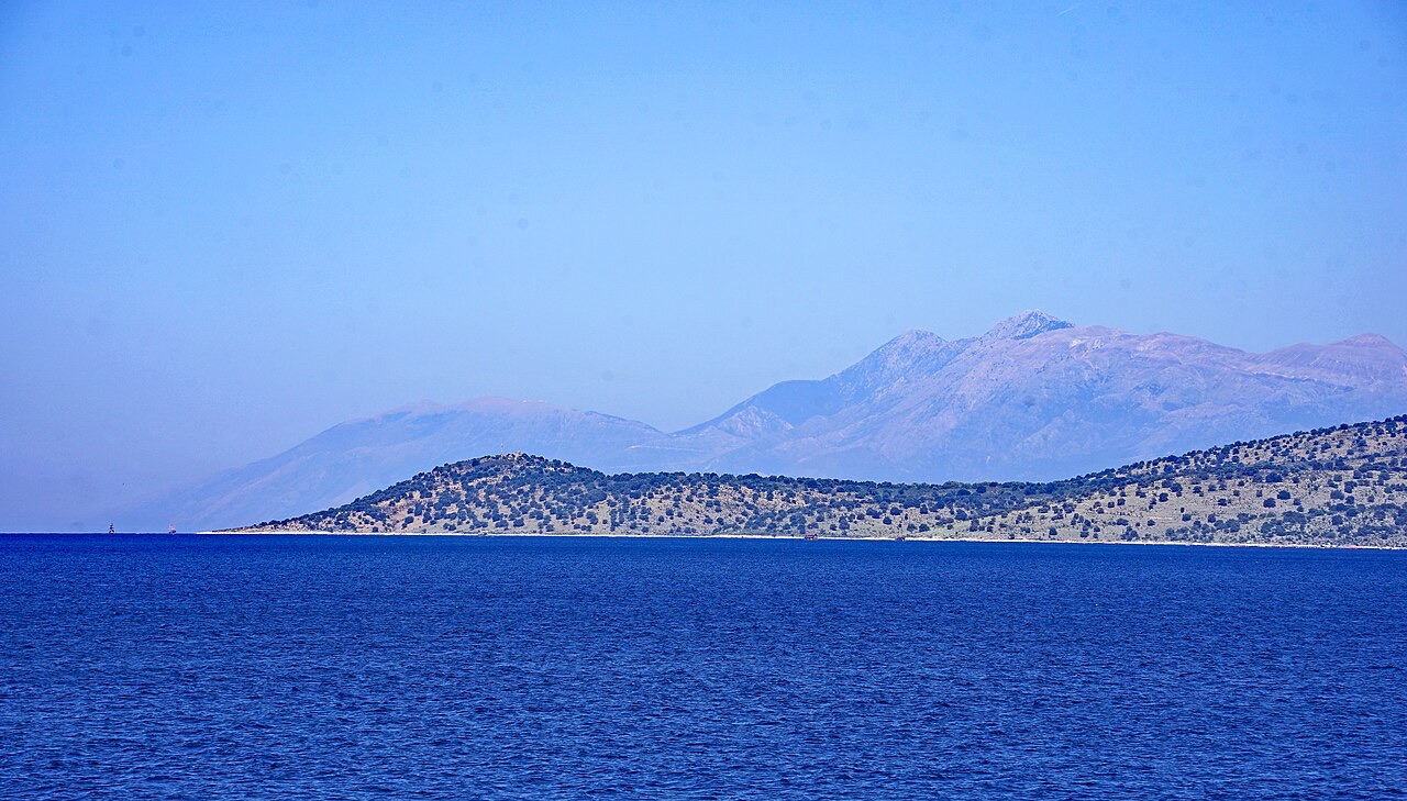
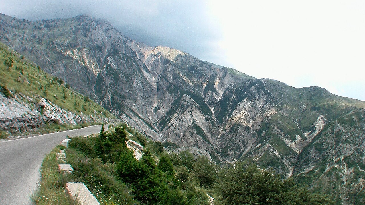
保護区域 · Vlorë
A pine-forested pass at 1,027 m where the road drops from mountain forest to the Ionian in a few kilometres.
ビーチ · Vlorë
The first Riviera beach south of the Llogara pass, below the road's most dramatic descent.
村 · Vlorë
An old white village on the slope above one of the Riviera's longest pebble beaches.
山脈 · Vlorë
The coastal ridge that makes the Riviera: 2,000 m peaks rising directly out of the Ionian.
このページに誤りがありますか? 修正は歓迎しており、原典記録と照合して確認します。何が誤っているか、また可能であれば正しい数値の出典をお知らせください。