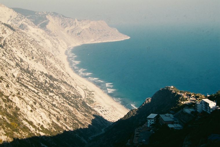
منطقة محمية · Vlorë
Llogara National Park
A pine-forested pass at 1,027 m where the road drops from mountain forest to the Ionian in a few kilometres.
كل مقاطعة، كل ساحل، كل قرن
عرض إرشادي
هل أنت جديد على ألبانيا؟ تفتتح كل صفحة بشرح مبسّط يمكن قراءته لطفل في العاشرة من عمره، قبل أن تبدأ التفاصيل.
عرض للمتخصصين
أنت تعرف الأساسيات بالفعل. مباشرةً إلى الجوهر، مع إخفاء الشروح المبسّطة. هذا هو الوضع الافتراضي.
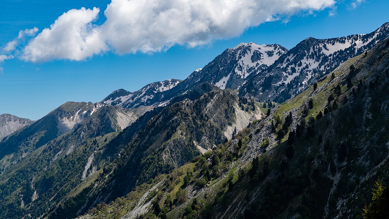
جبل · Vlorë County
The 2,045 m high point of the Ceraunian ridge, directly above the Riviera coast.
حفظ
Çika is the highest peak of the mountains along the Riviera. From the top you can see both the coast below and far inland.
Çika is the highest peak of the mountains along the Riviera. From the top you can see both the coast below and far inland.
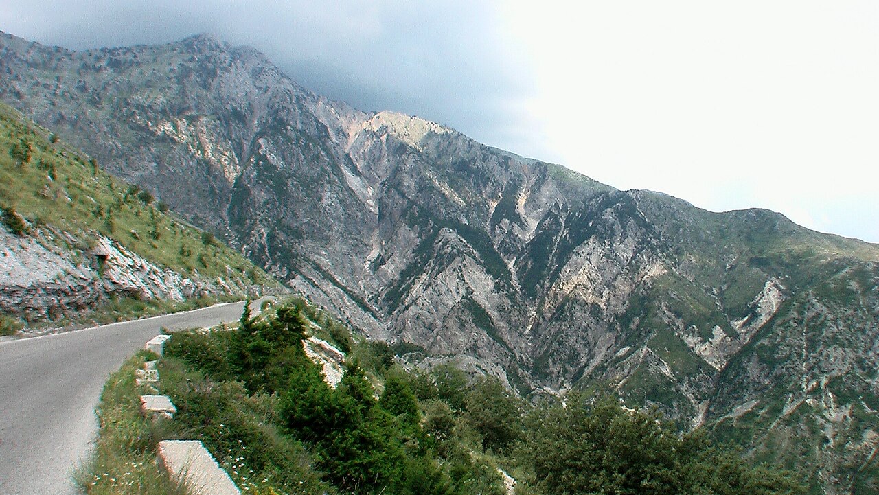
منطقة محمية · Vlorë
A pine-forested pass at 1,027 m where the road drops from mountain forest to the Ionian in a few kilometres.
شاطئ · Vlorë
The first Riviera beach south of the Llogara pass, below the road's most dramatic descent.
قرية · Vlorë
An old white village on the slope above one of the Riviera's longest pebble beaches.
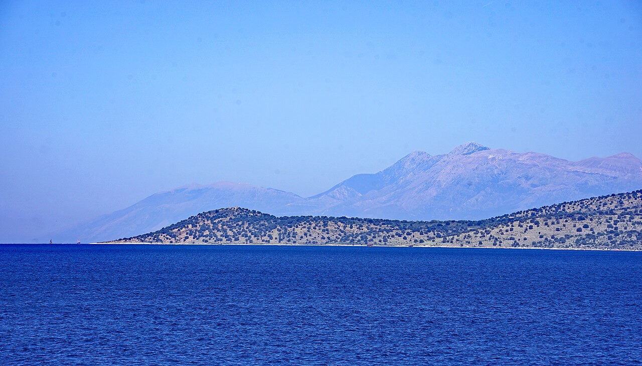
سلسلة جبلية · Vlorë
The coastal ridge that makes the Riviera: 2,000 m peaks rising directly out of the Ionian.
ثمة خطأ في هذه الصفحة؟ نرحب بالتصويبات وتُراجَع في مواجهة سجل المصدر. أخبرنا بما هو خاطئ، وإن أمكن، بالمكان الذي يأتي منه الرقم الصحيح.