Quốc gia
Albania
A mountainous country of about 2.4 million people on the Adriatic and Ionian seas, between Montenegro, Kosovo, North…
🧭 Chế độ hướng dẫn
Mới tìm hiểu về Albania? Mỗi trang mở đầu bằng một giải thích ngôn ngữ đơn giản mà bạn có thể đọc cho một đứa trẻ mười tuổi, trước khi đi vào chi tiết.
⚡ Chế độ chuyên gia
Bạn đã nắm được những điều cơ bản. Đi thẳng vào nội dung, với các giải thích đơn giản được ẩn đi. Đây là chế độ mặc định.
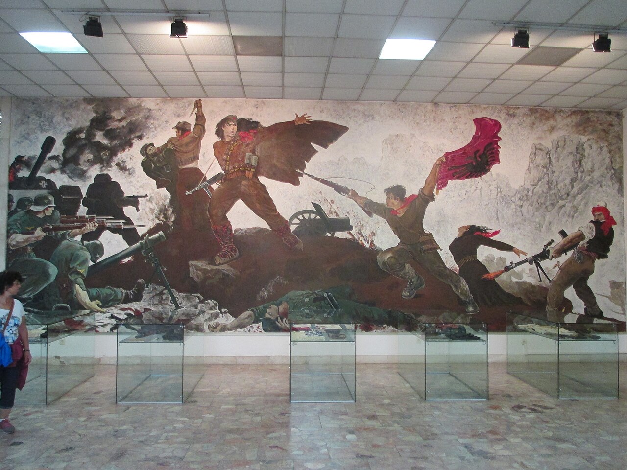
The mosaic on the National History Museum, Tirana · Avi1111 dr. avishai teicher · CC BY-SA 4.0 · Wikimedia Commons
Albania is about 28,700 square kilometres. Most of it is hills and mountains. There is a flat plain along the northern and central coast, and the south is steep all the way to the sea.
Albania is about 28,700 square kilometres. Most of it is hills and mountains. There is a flat plain along the northern and central coast, and the south is steep all the way to the sea.
Albania runs roughly 340 km north to south and about 150 km at its widest. A coastal plain runs down the Adriatic side from Shkodër to Vlorë; behind it the land rises quickly into hills and then mountains. South of Vlorë the plain ends and the Ceraunian mountains meet the sea directly, which is what creates the Riviera.
The Adriatic and Ionian meet at the Karaburun peninsula near Vlorë. The Adriatic coast is shallow, sandy and lagoon-fringed. The Ionian coast is deep, rocky and clear. It is the single most useful geographical fact about an Albanian beach holiday.
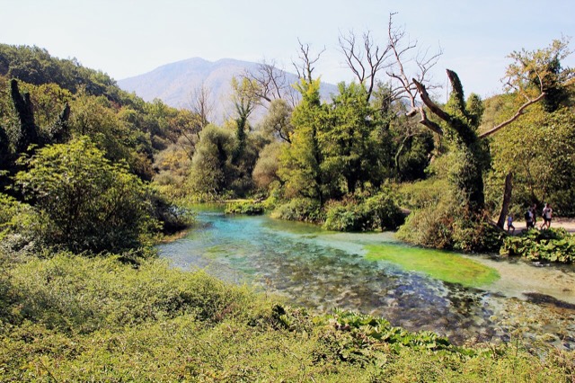
Much of Albania is limestone, which dissolves in water. That produces caves, sinkholes, rivers that disappear underground, and springs like the Blue Eye where large volumes of water emerge from nowhere. It is also why the Valbona riverbed runs dry in late summer while water still moves beneath it.
Đây là các mối liên hệ thực sự trong Atlas — những địa điểm ở gần nơi này và các chủ đề mà nó thực sự thuộc về. Không có gì ở đây là gợi ý chung chung.
A mountainous country of about 2.4 million people on the Adriatic and Ionian seas, between Montenegro, Kosovo, North…
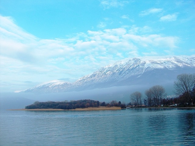
One of Europe's oldest and deepest lakes, UNESCO-listed and home to species found nowhere else.
One of the last large free-flowing rivers in Europe, declared a Wild River National Park in March 2023.
A karst spring of extraordinary clarity whose bottom has never been definitively reached.
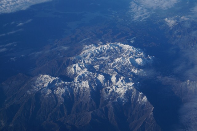
The limestone wall of the far north — locally the Accursed Mountains — shared with Montenegro and Kosovo.
Trang này chỉ dựa trên kho dữ liệu đã kiểm duyệt; chưa có nguồn bên ngoài nào được đính kèm.
Có thông tin sai trên trang này? Chúng tôi hoan nghênh các đề nghị đính chính và sẽ đối chiếu với hồ sơ nguồn. Hãy cho chúng tôi biết điều gì sai và, nếu có thể, nguồn số liệu chính xác là ở đâu.