Страна
Albania
A mountainous country of about 2.4 million people on the Adriatic and Ionian seas, between Montenegro, Kosovo, North…
🧭 Режим с пояснениями
Впервые об Албании? Каждая страница начинается с доступного объяснения, понятного даже десятилетнему ребёнку, и лишь затем переходит к подробностям.
⚡ Режим эксперта
Основы вам уже известны. Сразу к существу вопроса, без простых пояснений. Это режим по умолчанию.
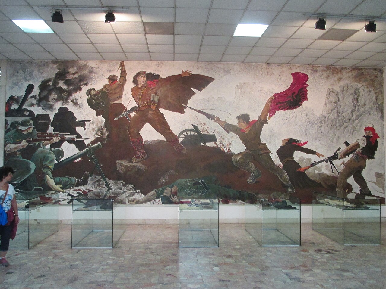
The mosaic on the National History Museum, Tirana · Avi1111 dr. avishai teicher · CC BY-SA 4.0 · Wikimedia Commons
Albania is about 28,700 square kilometres. Most of it is hills and mountains. There is a flat plain along the northern and central coast, and the south is steep all the way to the sea.
Albania is about 28,700 square kilometres. Most of it is hills and mountains. There is a flat plain along the northern and central coast, and the south is steep all the way to the sea.
Albania runs roughly 340 km north to south and about 150 km at its widest. A coastal plain runs down the Adriatic side from Shkodër to Vlorë; behind it the land rises quickly into hills and then mountains. South of Vlorë the plain ends and the Ceraunian mountains meet the sea directly, which is what creates the Riviera.
The Adriatic and Ionian meet at the Karaburun peninsula near Vlorë. The Adriatic coast is shallow, sandy and lagoon-fringed. The Ionian coast is deep, rocky and clear. It is the single most useful geographical fact about an Albanian beach holiday.
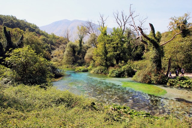
Much of Albania is limestone, which dissolves in water. That produces caves, sinkholes, rivers that disappear underground, and springs like the Blue Eye where large volumes of water emerge from nowhere. It is also why the Valbona riverbed runs dry in late summer while water still moves beneath it.
Это реальные связи в Атласе — места, расположенные рядом с данным, и темы, к которым оно действительно относится. Здесь нет универсальных рекомендаций.
A mountainous country of about 2.4 million people on the Adriatic and Ionian seas, between Montenegro, Kosovo, North…
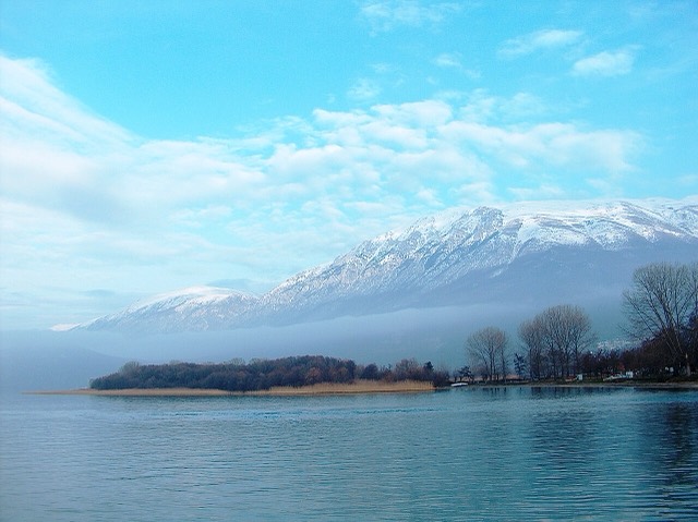
One of Europe's oldest and deepest lakes, UNESCO-listed and home to species found nowhere else.
One of the last large free-flowing rivers in Europe, declared a Wild River National Park in March 2023.
A karst spring of extraordinary clarity whose bottom has never been definitively reached.
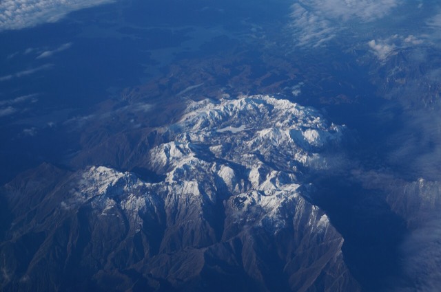
The limestone wall of the far north — locally the Accursed Mountains — shared with Montenegro and Kosovo.
Данная страница опирается только на отобранный реестр данных; внешний источник к ней пока не прикреплён.
Нашли ошибку на этой странице? Исправления приветствуются и проверяются по исходной записи. Сообщите нам, что именно неверно, и по возможности укажите, откуда взята правильная цифра.