Land
Albania
A mountainous country of about 2.4 million people on the Adriatic and Ionian seas, between Montenegro, Kosovo, North…
🧭 Begeleidende weergave
Nieuw in Albanië? Elke pagina begint met een uitleg in eenvoudige taal die u aan een tienjarige zou kunnen voorlezen, voordat de details beginnen.
⚡ Expertweergave
U kent de basis al. Meteen naar de kern, met de eenvoudige uitleg verborgen. Dit is de standaardinstelling.
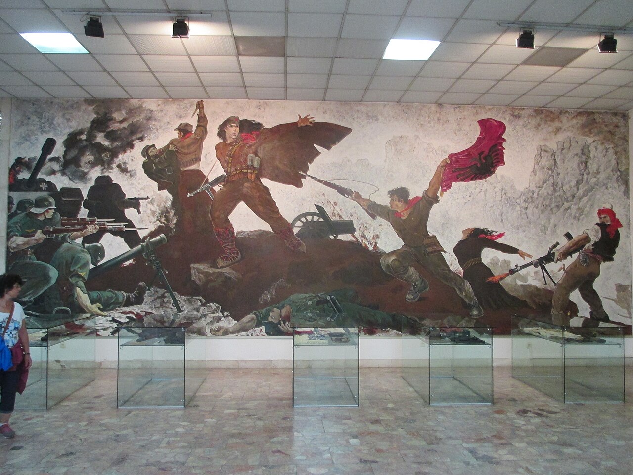
The mosaic on the National History Museum, Tirana · Avi1111 dr. avishai teicher · CC BY-SA 4.0 · Wikimedia Commons
Albania is about 28,700 square kilometres. Most of it is hills and mountains. There is a flat plain along the northern and central coast, and the south is steep all the way to the sea.
Albania is about 28,700 square kilometres. Most of it is hills and mountains. There is a flat plain along the northern and central coast, and the south is steep all the way to the sea.
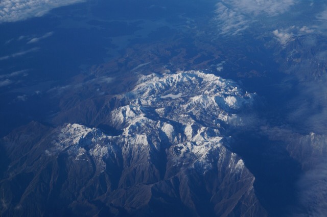
Albania runs roughly 340 km north to south and about 150 km at its widest. A coastal plain runs down the Adriatic side from Shkodër to Vlorë; behind it the land rises quickly into hills and then mountains. South of Vlorë the plain ends and the Ceraunian mountains meet the sea directly, which is what creates the Riviera.
The Adriatic and Ionian meet at the Karaburun peninsula near Vlorë. The Adriatic coast is shallow, sandy and lagoon-fringed. The Ionian coast is deep, rocky and clear. It is the single most useful geographical fact about an Albanian beach holiday.
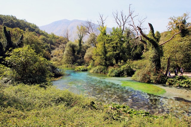
Much of Albania is limestone, which dissolves in water. That produces caves, sinkholes, rivers that disappear underground, and springs like the Blue Eye where large volumes of water emerge from nowhere. It is also why the Valbona riverbed runs dry in late summer while water still moves beneath it.
Dit zijn echte verbanden in de Atlas — plaatsen die dicht bij deze liggen en onderwerpen waar deze pagina werkelijk bij hoort. Niets hier is een algemene aanbeveling.
A mountainous country of about 2.4 million people on the Adriatic and Ionian seas, between Montenegro, Kosovo, North…
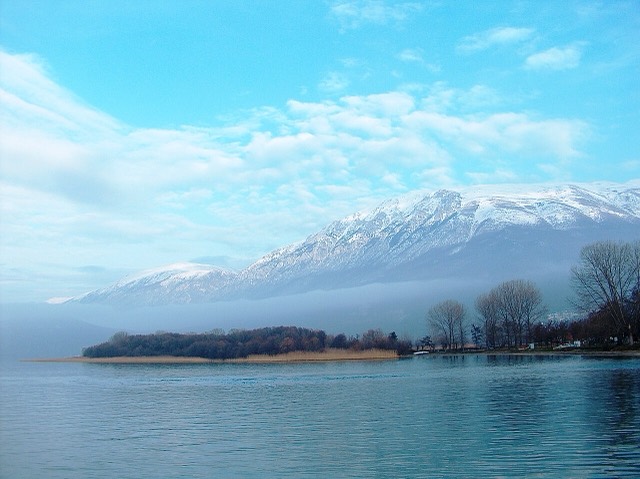
One of Europe's oldest and deepest lakes, UNESCO-listed and home to species found nowhere else.
One of the last large free-flowing rivers in Europe, declared a Wild River National Park in March 2023.
A karst spring of extraordinary clarity whose bottom has never been definitively reached.
The limestone wall of the far north — locally the Accursed Mountains — shared with Montenegro and Kosovo.
Deze pagina is uitsluitend gebaseerd op de gecureerde inventaris; er is nog geen externe bron aan gekoppeld.
Iets onjuist op deze pagina? Correcties zijn welkom en worden gecontroleerd aan de hand van de bronregistratie. Laat ons weten wat onjuist is en, indien mogelijk, waar het juiste cijfer vandaan komt.