Land
Albania
A mountainous country of about 2.4 million people on the Adriatic and Ionian seas, between Montenegro, Kosovo, North Macedonia…
Jeder Kreis, jede Küste, jedes Jahrhundert
Geführte Ansicht
Neu in Albanien? Jede Seite beginnt mit einer einfachen Erklärung, die auch ein Zehnjähriger verstehen würde – bevor es ins Detail geht.
Expertenansicht
Sie kennen die Grundlagen bereits. Direkt zur Substanz, ohne die vereinfachten Erklärungen. Dies ist die Standardeinstellung.
Erläuterung
Twenty-eight thousand square kilometres, seventy per cent of it hills and mountains, and a coast that changes character halfway down.
Speichern
Albania is about 28,700 square kilometres. Most of it is hills and mountains. There is a flat plain along the northern and central coast, and the south is steep all the way to the sea.
Albania is about 28,700 square kilometres. Most of it is hills and mountains. There is a flat plain along the northern and central coast, and the south is steep all the way to the sea.
Albania runs roughly 340 km north to south and about 150 km at its widest. A coastal plain runs down the Adriatic side from Shkodër to Vlorë; behind it the land rises quickly into hills and then mountains. South of Vlorë the plain ends and the Ceraunian mountains meet the sea directly, which is what creates the Riviera.
The Adriatic and Ionian meet at the Karaburun peninsula near Vlorë. The Adriatic coast is shallow, sandy and lagoon-fringed. The Ionian coast is deep, rocky and clear. It is the single most useful geographical fact about an Albanian beach holiday.
Much of Albania is limestone, which dissolves in water. That produces caves, sinkholes, rivers that disappear underground, and springs like the Blue Eye where large volumes of water emerge from nowhere. It is also why the Valbona riverbed runs dry in late summer while water still moves beneath it.
The mountains decided who could rule where. The northern highlands were too poor and too steep to be worth occupying properly, so Ottoman governors left the clans of the Malësi to run themselves under their own customary law, the Kanun, in exchange for soldiers and nominal loyalty. That autonomy lasted into the 20th century, and it is why the north kept its tower houses, its clan names and its Catholic parishes.
The coast decided who came. The Strait of Otranto is the narrowest crossing between Italy and the Balkans, which made Durrës and Vlorë the natural landing places for Greek colonists, Roman armies, Norman and Angevin invaders, Venetian traders and, in 1939, Mussolini's troops. The Via Egnatia ran from that coast to Constantinople for a thousand years.
The borders were drawn by others. The great powers fixed Albania's frontiers at London in 1913 and confirmed them in the early 1920s, following mountain crests and lakes rather than where Albanians actually lived — which is why the lakes are shared, why Kosovo and western North Macedonia are largely Albanian-speaking, and why Albania is so much smaller than the area where its language is spoken.
Land
A mountainous country of about 2.4 million people on the Adriatic and Ionian seas, between Montenegro, Kosovo, North Macedonia…
See · Korçë
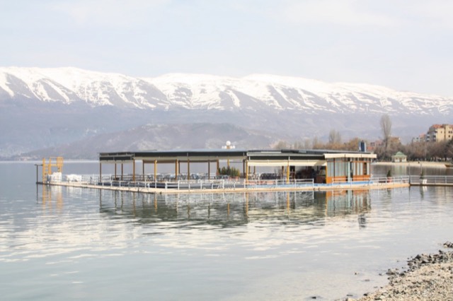
One of Europe's oldest and deepest lakes, UNESCO-listed and home to species found nowhere else.
Fluss · Gjirokastër
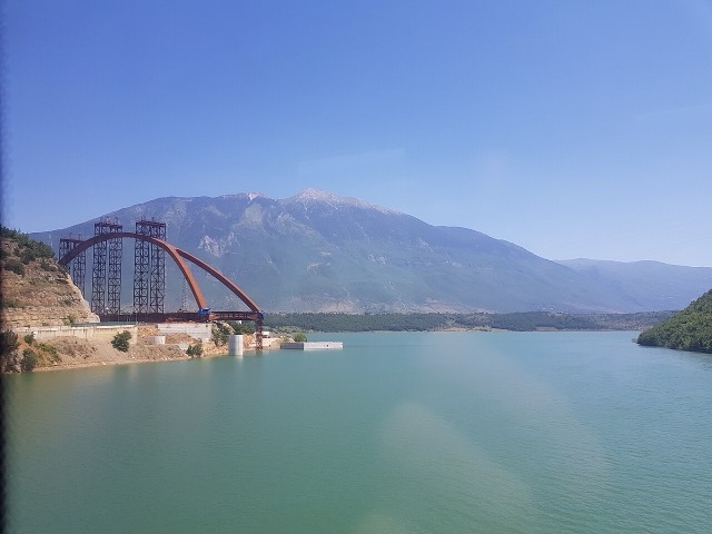
One of the last large free-flowing rivers in Europe, declared a Wild River National Park in March 2023.
Quelle · Vlorë
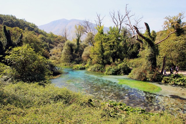
A karst spring of extraordinary clarity whose bottom has never been definitively reached.
Gebirge · Shkodër
The limestone wall of the far north — locally the Accursed Mountains — shared with Montenegro and Kosovo.
Etwas falsch auf dieser Seite? Korrekturen sind willkommen und werden gegen den Quelldatensatz geprüft. Bitte mitteilen, was falsch ist und, wenn möglich, woher die richtige Angabe stammt.