Industrie
Energy in Albania
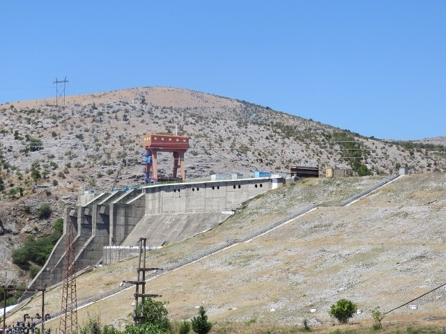
Electricity almost entirely from hydropower — which makes supply depend on rainfall.
Elke provincie, elke kust, elke eeuw
Begeleidende weergave
Nieuw in Albanië? Elke pagina begint met een uitleg in eenvoudige taal die u aan een tienjarige zou kunnen voorlezen, voordat de details beginnen.
Expertweergave
U kent de basis al. Meteen naar de kern, met de eenvoudige uitleg verborgen. Dit is de standaardinstelling.
Toelichting
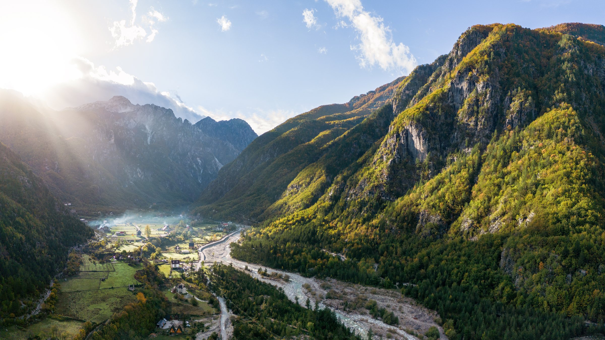
Mediterranean on the coast, continental inland, alpine in the north — three climates in a country 340 km long.
Opslaan
The weather in Albania depends a lot on where you are. The coast is warm and dry in summer and mild in winter. Inland it is hotter in summer and colder in winter. The mountains get a lot of snow.
The weather in Albania depends a lot on where you are. The coast is warm and dry in summer and mild in winter. Inland it is hotter in summer and colder in winter. The mountains get a lot of snow.
Albania is one of the wetter countries in the Mediterranean. Rainfall is heavily concentrated in autumn and winter and falls off almost completely in July and August. The northern mountains are much wetter than the south-east — a fact that matters because almost all the country's electricity is hydroelectric.
Sea temperature lags air temperature by about a month, which is why September swimming is often better than June swimming even though the air is cooler. The Ionian in the south is warmer and clearer than the Adriatic in the north.
For centuries the rhythm of the year was set by transhumance: shepherds — Albanian and Aromanian (Vlach) alike — wintered their flocks on the mild coastal plains and drove them up to mountain pastures for the short summer. Highland villages emptied and filled with the seasons, and the old drove roads still cross the passes.
The plains themselves were long unhealthy. Their winter floods left marshes behind, and malaria made much of the Myzeqe and the coastal lowlands thinly settled until the 20th century, when drainage, land reclamation and anti-malaria campaigns, pushed hard by the communist government, turned them into the country's farmland.
Rain became a matter of national economics in the 1970s and 1980s, when the great dams on the Drin — Vau i Dejës, Fierza and Koman — were built. Since then a wet winter has meant electricity to spare and a dry one has meant imports and power cuts, which is why climate appears in Albanian economic news as often as in weather forecasts.
Every place page carries monthly normals computed from thirty years of ERA5 reanalysis (1994–2023) via Open-Meteo, rather than repeated from a brochure. That means Sarandë and Theth can be compared on the same basis, and every figure carries the same stated period.
Industrie
Electricity almost entirely from hydropower — which makes supply depend on rainfall.
Gids
June and September give you the coast without the July–August crush; May and October are the best value; the mountains have a…
Onderwerp
Population, GDP, inflation, wages, tourism, trade and energy — each with its observation period, its producer and a link to the…
Iets onjuist op deze pagina? Correcties zijn welkom en worden gecontroleerd aan de hand van de bronregistratie. Laat ons weten wat onjuist is en, indien mogelijk, waar het juiste cijfer vandaan komt.