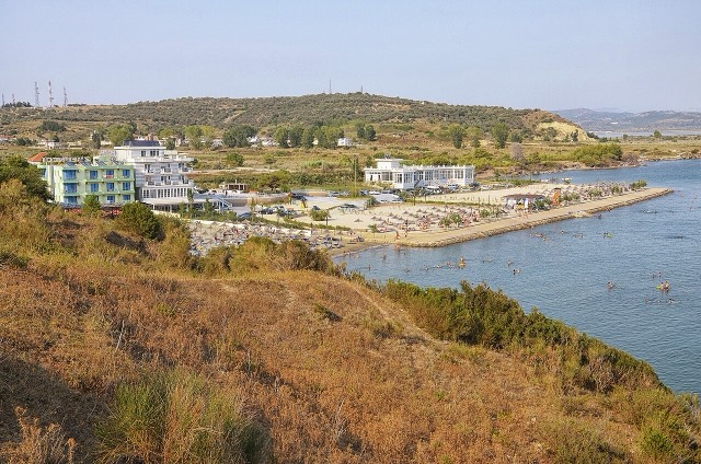

Città · Vlorë
Vlorë
Where the Adriatic meets the Ionian, and where Albanian independence was declared in 1912.
Ogni contea, ogni costa, ogni secolo
Vista guidata
Non conosci l'Albania? Ogni pagina si apre con una spiegazione in linguaggio semplice, comprensibile anche a un bambino di dieci anni, prima di entrare nei dettagli.
Vista per esperti
Conosci già le basi. Direttamente alla sostanza, con le spiegazioni elementari nascoste. Questa è l'impostazione predefinita.
Lago · Vlorë County
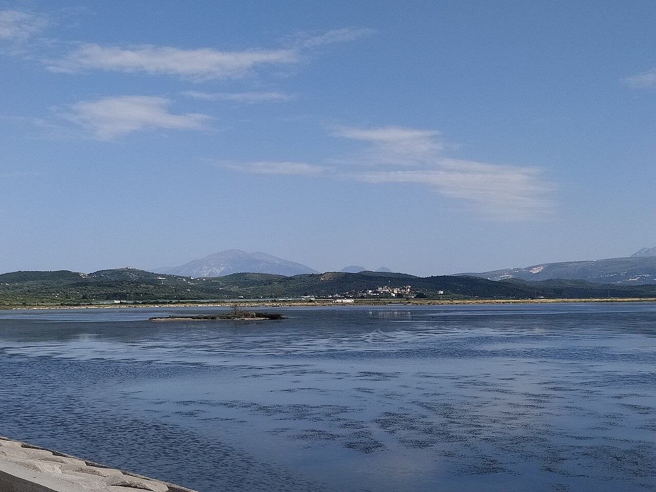
Albania's second-largest lagoon, with working saltpans and the island monastery of Zvërnec.
Salva
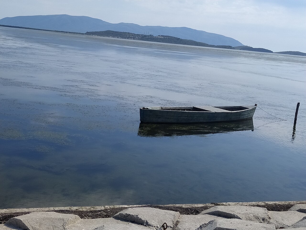
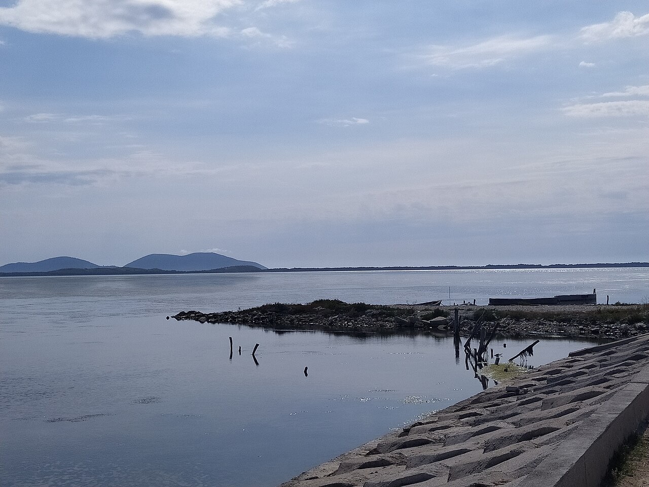
Narta is a shallow lagoon north of Vlorë where salt is still collected from the water. A small wooded island in it holds an old monastery reached by a wooden footbridge.
Narta is a shallow lagoon north of Vlorë where salt is still collected from the water. A small wooded island in it holds an old monastery reached by a wooden footbridge.
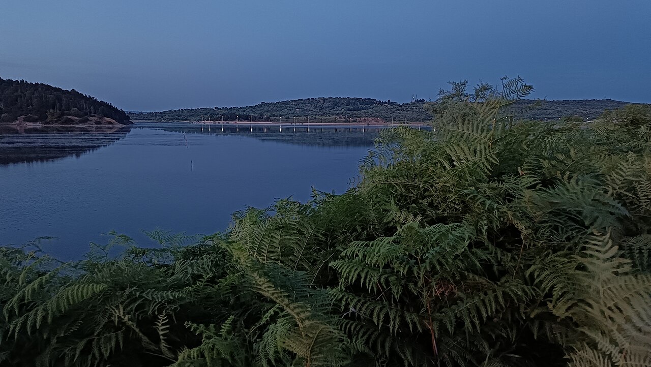
Narta Lagoon (Albanian: Laguna e Nartës) lies on the central coast of Albania, extending north of the Bay of Vlorë along the eastern shore of the Strait of Otranto. It is a lagoon of the Adriatic Sea, separated from open water by a narrow littoral strip composed of an alluvial dune.
The lagoon takes its name from the village of Nartë, which sits on its southern shores. Within its waters lie two islands, the larger of which is Zvërnec Island.
Narta Lagoon covers a surface area of 41.8 square kilometres (16.1 sq mi). Its maximal recorded depth is 1.5 metres (4.9 ft), making it an exceptionally shallow body of water across its full extent.
The shallow character of the lagoon is directly connected to its formation: it has been built up through the constant accumulation of solid sediment carried by the Vjosa River, which delivers material from its upper catchment and deposits it at the coast over time.
The lagoon owes its existence to the Vjosa River, which originates in the Pindus Mountains close to the border between Albania and Greece. As the river reaches the Adriatic coast, it carries a continuous load of solid material, and the steady accumulation of this sediment has shaped and continues to shape the lagoon's extent and character.
The alluvial dune that separates the lagoon from the Adriatic is itself a product of this sedimentary process, representing the seaward edge of material deposited over successive river cycles.
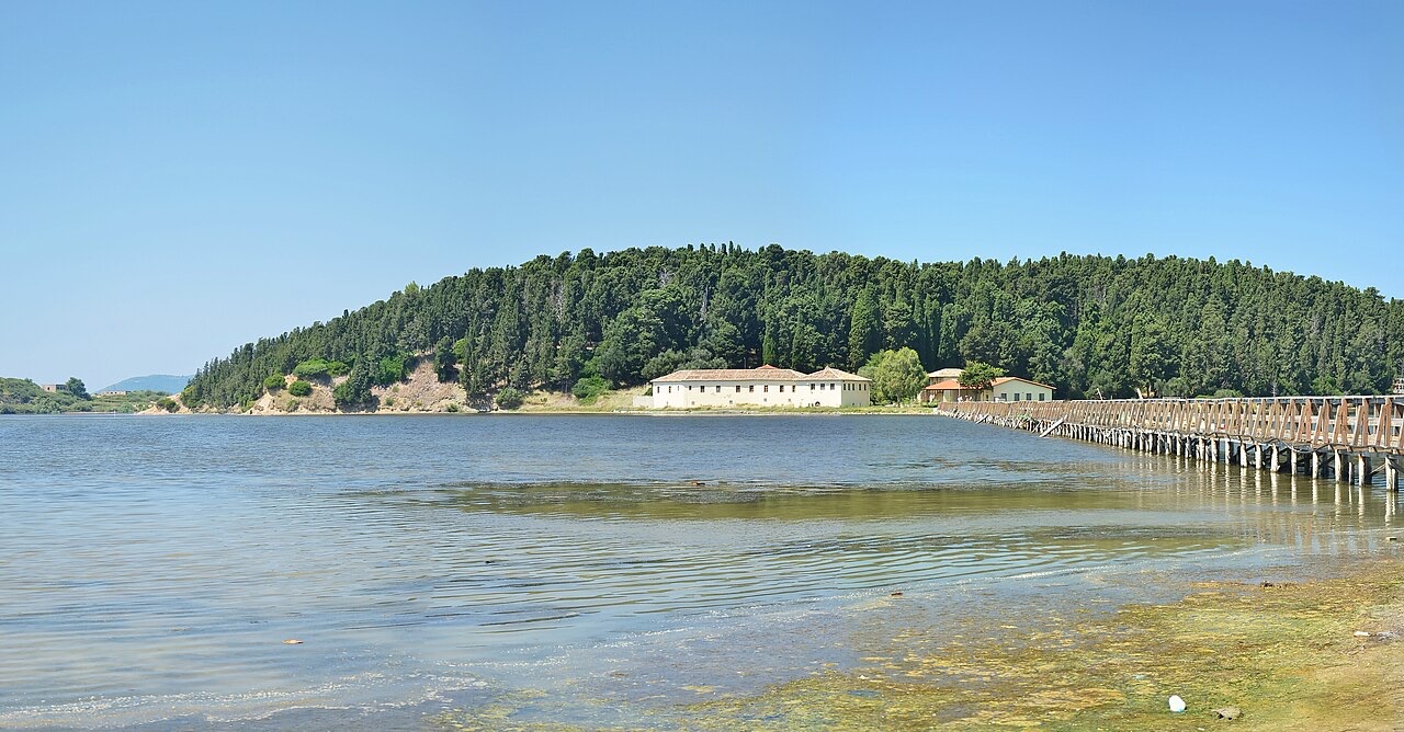
Zvërnec Island is the largest of the two islands within the lagoon. It is connected to the mainland by a wooden footbridge, the sole fixed link between the island and the shore.
On the island stands a monastery dated to the 13th century. The structure makes Zvërnec Island the principal historical site within the lagoon area, and the footbridge providing access to it is a notable feature of the lagoon landscape.
Narta Lagoon supports significant numbers of waterbirds. At least 34,800 wintering birds have been counted on the lagoon, a figure that reflects its role as a staging and overwintering site for migratory species using the Adriatic flyway.
As of May 2020, approximately 3,000 flamingos were recorded at the lagoon. The presence of flamingos at this scale has attracted wider attention to the site and has been associated with broader conservation discussions concerning the Vjosa river system and its associated wetlands.
Narta Lagoon has been recognised as an Important Bird and Plant Area of international importance. This designation reflects both the size of its wintering bird populations and the ecological value of its wetland habitats for plant communities associated with coastal lagoons.
The recognition places Narta among a set of Albanian coastal wetlands considered significant at a European or wider international level for biodiversity conservation.
The lagoon is situated within the boundaries of the Vjosa Wild River National Park. This places it under the protective framework established for the Vjosa river system, linking the lagoon's conservation status to that of the river responsible for its formation.
The national park designation covers the lagoon alongside the river corridor that feeds it, reflecting a management approach that treats the watercourse and its coastal terminus as an interconnected natural system.
The village of Nartë, from which the lagoon takes its name, is located on the lagoon's southern shores. The settlement gives the broader landscape its identity in both Albanian-language and international references to the site.
The lagoon's position north of the Bay of Vlorë places it within a stretch of the Albanian Adriatic coast that includes other protected marine and terrestrial areas, including the Karaburun-Sazan Marine Park to the south and the wider Vjosa–Nartë Protected Landscape designation.
Il mese più caldo è August (massima giornaliera media 32°C), il più freddo è January (minima giornaliera media 5°C), e il più piovoso è November (142 mm). La precipitazione annua totale è in media 1,037 mm. La temperatura del mare raggiunge il picco in agosto, intorno a 25°C.
| Mese | Massima | Minima | Pioggia | Giorni piovosi | Sole/giorno | Mare |
|---|---|---|---|---|---|---|
| January | 12°C | 5°C | 103 mm | 12 | 7.4 h | 16°C |
| February | 13°C | 6°C | 98 mm | 11 | 8.3 h | 15°C |
| March | 16°C | 7°C | 97 mm | 11 | 9.8 h | 15°C |
| April | 19°C | 10°C | 82 mm | 11 | 11.0 h | 16°C |
| May | 24°C | 15°C | 63 mm | 8 | 12.2 h | 19°C |
| June | 28°C | 19°C | 41 mm | 6 | 13.6 h | 22°C |
| July | 32°C | 22°C | 26 mm | 5 | 13.8 h | 24°C |
| August | 32°C | 22°C | 30 mm | 5 | 12.9 h | 25°C |
| September | 27°C | 18°C | 101 mm | 9 | 10.8 h | 25°C |
| October | 22°C | 14°C | 123 mm | 9 | 9.3 h | 24°C |
| November | 18°C | 11°C | 142 mm | 12 | 7.4 h | 20°C |
| December | 14°C | 7°C | 131 mm | 13 | 6.8 h | 17°C |
Fonte: ERA5 reanalysis via Open-Meteo, 1994–2023 · «Massima» e «Minima» sono la temperatura dell'aria massima e minima giornaliera media. «Giorni piovosi» conta i giorni con almeno 1 mm di precipitazione.
Città · Vlorë
Where the Adriatic meets the Ionian, and where Albanian independence was declared in 1912.
Oggetto · Vlorë
A cypress-covered island in the Narta lagoon holding a 13th–14th-century Orthodox monastery.
Aeroporto · Fier
A new airport under construction on the Narta lagoon edge, intended to serve the southern coast.
Hai notato un errore in questa pagina? Le correzioni sono benvenute e vengono verificate rispetto al record di fonte. Indica cosa è sbagliato e, se possibile, da dove proviene il dato corretto.