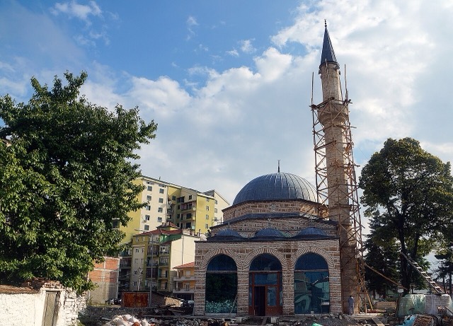
Thành phố · Korçë
Korçë
The highland city of serenades, the first Albanian-language school, and the country's oldest brewery.
Mọi hạt, mọi bờ biển, mọi thế kỷ
Chế độ hướng dẫn
Mới tìm hiểu về Albania? Mỗi trang mở đầu bằng một giải thích ngôn ngữ đơn giản mà bạn có thể đọc cho một đứa trẻ mười tuổi, trước khi đi vào chi tiết.
Chế độ chuyên gia
Bạn đã nắm được những điều cơ bản. Đi thẳng vào nội dung, với các giải thích đơn giản được ẩn đi. Đây là chế độ mặc định.
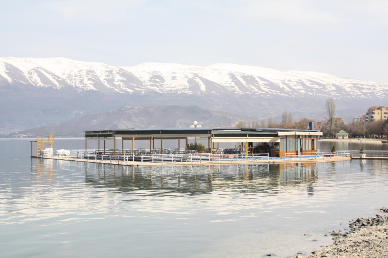
Hồ · Korçë County
One of Europe's oldest and deepest lakes, UNESCO-listed and home to species found nowhere else.
Lưu
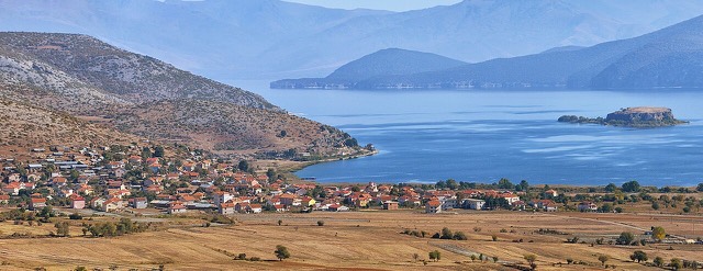
Lake Ohrid is between one and three million years old, which makes it one of the oldest lakes on Earth. It is very deep and very clear, and some fish and snails in it live nowhere else in the world. Albania shares it with North Macedonia.
Lake Ohrid is between one and three million years old, which makes it one of the oldest lakes on Earth. It is very deep and very clear, and some fish and snails in it live nowhere else in the world. Albania shares it with North Macedonia.
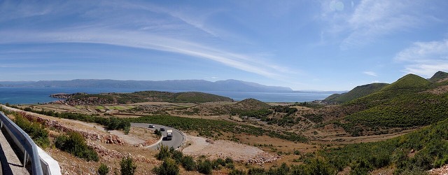
Lake Ohrid straddles the mountainous border between the southwestern part of North Macedonia and eastern Albania. Its surface area is 358 square kilometres, its maximum depth is 288 metres (945 ft), and its mean depth is 155 metres (509 ft), making it the deepest lake in the Balkans and one of the deepest in Europe. The lake is 30.4 km long and 14.8 km wide at its greatest extent, with a total shoreline of 87.53 km. It holds an estimated 55.49 cubic kilometres of water.
The division of the lake between the two states is uneven. North Macedonia holds 64% of the shoreline and 69% of the surface area, while Albania holds the remaining 36% of the shoreline and 31% of the surface area. The three lakeside towns are Ohrid and Struga in North Macedonia and Pogradec in Albania, with numerous villages and resorts also occupying both shores.
Lake Ohrid formed in a tectonic basin, or graben, produced by the transition from compressional to extensional tectonics in the central Balkan mountains, a process that occurred approximately 6 million years ago. The oldest lake sediments are Pliocene in age, possibly 3 to 5 million years old. Lake Ohrid belongs to the Dessaret group, a north–south chain of tectonic basins that also includes Lake Prespa, the Korçë basin, and Lake Ioannina in northwestern Greece. The chain constitutes a poorly developed rift valley.
Ancient rift valley lakes with comparable origins elsewhere on Earth include Lake Baikal, Lake Titicaca, Lake Tanganyika, and the Dead Sea. Most lakes have far shorter lifespans because they fill with sediments relatively quickly. Lake Ohrid is preserved by its great depth, by continuing tectonic subsidence, and by its primary inflows arriving via underground karstic channels from Lake Prespa, which carry minimal sediment. The graben system remains tectonically active. The strongest earthquake yet recorded in the area struck on 18 February 1911, registering magnitude 6.6 at a focal depth of 15 km; it destroyed houses but caused no loss of life.
The lake drains a catchment of approximately 2,600 km². Underground springs on the eastern shore supply about 50% of total inflow, with rivers and direct precipitation each contributing roughly 25%. More than 20% of the lake's water originates in Lake Prespa, which lies approximately 10 km to the southeast at an altitude 150 metres higher than Lake Ohrid. Water from Lake Prespa percolates through karstic rock before emerging as springs along Lake Ohrid's eastern shore and below its water surface.
Water leaves the lake by two routes: evaporation accounts for approximately 40% of outflow, and the remainder drains through the Black Drin River, the lake's only surface outlet, which flows northward into Albania and ultimately to the Adriatic Sea. The combination of a relatively dry Mediterranean climate and a small catchment-to-lake-surface ratio of approximately 7 produces a long hydraulic residence time of around 70 years.
Surface water circulates predominantly counter-clockwise along the shore, driven by wind forcing and Earth's rotation in a pattern analogous to the Ekman phenomenon observed in oceans. Vertical mixing occurs mainly through convective cooling in winter, but in an average winter only the top 150 to 200 metres are mixed. Below that depth, water is stably stratified by a salinity gradient, and complete convective mixing of the full water column occurs only approximately once every seven years.
With a phosphorus concentration of 4.5 μg per litre, Lake Ohrid qualifies as oligotrophic by both nutrient and biological measures. Combined with filtered spring inflows, this oligotrophy produces exceptional water clarity, with light penetrating to depths of up to 22 metres. Despite the absence of annual deep-water exchange and the lack of plunging rivers, dissolved oxygen never falls below approximately 6 mg per litre throughout the water column.
Lake Ohrid is considered among the most biodiverse lakes on Earth relative to its surface area of 358 km². Its most distinctive biological characteristic is its high endemism, comparable in structure to Lake Baikal or Lake Tanganyika. Endemic species span the entire food chain: 20 species of phytoplankton and sessile algae, 2 plant species, 5 zooplankton species, 8 cyprinid fish species, 2 trout species (the Ohrid trout Salmo letnica and Belvica Salmo ohridanus), and 176 endemic bottom-fauna species, with particularly high endemism among crustaceans, molluscs, sponges, and planarians. Of the 72 mollusc species recorded, almost 80% are endemic. Of 68 recorded freshwater snail species in the basin, 73.5% (50 species) appear to be endemic.
Exotic species have not become a major problem in Lake Ohrid, a situation attributed to the strong adaptation of endemic species to conditions of low nutrient availability, high water transparency, and cool, oxygen-rich subaquatic spring inflows. Seven introduced fish species are known from the lake, but they remain minor components. The European eel, a non-endemic migratory species, is present but can no longer reach the lake or return to its spawning grounds in the Sargasso Sea naturally, due to hydropower dams on the Black Drin and Drin rivers in both countries. Eel in the lake are therefore stocked populations.
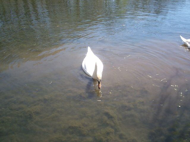
The lakeshore reed beds and wetlands support hundreds of thousands of wintering water birds, including threatened species such as the Dalmatian pelican, ferruginous duck, spotted eagle, and eastern imperial eagle. BirdLife International has designated the Macedonian and Albanian portions of the lake as separate but corresponding Important Bird Areas. The Macedonian designation is supported by populations of common coots and pygmy cormorants; the Albanian designation additionally covers common goldeneyes, red-crested pochards, and black-necked grebes. Ramsar Wetland of International Importance status for the North Macedonian portion, formalised in 2021, is also underpinned by biogeographically significant populations of red-crested pochard, pygmy cormorant, and goosander.
Previously extensive wetland habitats around the lake have been substantially reduced by drainage for agriculture and urban development. Struga Marsh was largely drained for agriculture in the 1940s and again in the 1960s, when the River Sateska was rerouted. The last significant remaining coastline wetland is Studenchishte Marsh, on the eastern shore near Ohrid. Despite degradation from construction-waste disposal, land conversion, disruption of water connections to the lake, beach urbanisation, and loss of reed belts, Studenchishte Marsh continues to function as a buffer against lake eutrophication and a habitat for endemic and relict species. In 2012 an expert team recommended designation of a 63.97-hectare area of the marsh as a Natural Monument under Macedonian law; the Macedonian government announced in 2018 that it would pursue that designation and Ramsar listing, though national-level protection of Studenchishte had not been completed as of the time of writing.
The catchment population stands at approximately 170,000 people, with 131,000 living directly at the lakeshore (43,000 in Albania, 88,000 in North Macedonia). Population in the catchment has grown by approximately 100,000 over the past half century, intensifying pressure on the lake's ecosystem. Shore habitats face particular threats from tourist facility construction, destruction of reed belts for agricultural land, and pollution concentrated near tributary mouths.
Commercial catches of the two endemic trout species have declined significantly in both countries over recent decades, most likely due to overfishing and possible destruction of spawning grounds. A seven-year moratorium on fishing for Ohrid trout was imposed from 2004; fishing with quotas resumed in 2012 under a concessionaire arrangement, though the sustainability of current catch levels had not been determined and illegal fishing, particularly on the Albanian side, remained a problem. Sediment cores show a roughly 3.5-fold increase in phosphorus concentration over the past century. Computer modelling indicates that at least a 50% reduction in phosphorus input is required to maintain deep-water oxygenation over the next 50 years under projected atmospheric warming conditions. Household wastewater is identified as the largest current phosphorus source. Extension of the sewage system in North Macedonia has been undertaken within a Global Environment Facility programme, but three severely polluted tributaries — one in North Macedonia and two in Albania — remained without adequate treatment at the time of writing.
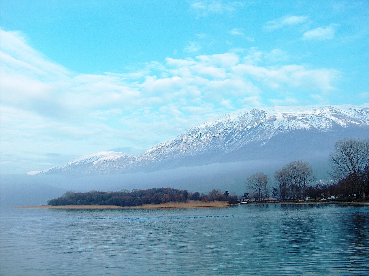
North Macedonia's side of Lake Ohrid was declared a UNESCO World Heritage Site at the 3rd Session of the World Heritage Committee in 1979, under Criterion VII, recognising its function as a refuge for relict and globally unique freshwater species and its rich bird life. The site was extended in 1980 to include the city of Ohrid, creating a mixed Natural and Cultural World Heritage Site. Albania's side of the lake received UNESCO World Heritage status in May 2019. The Ohrid–Prespa Transboundary Reserve between Albania and North Macedonia was added to UNESCO's World Network of Biosphere Reserves in 2014.
Concern over deterioration of the site prompted a joint Reactive Monitoring Mission by the World Heritage Centre, IUCN, and ICOMOS in April 2017. The mission identified pressures including transport infrastructure, tourism development, overfishing, sewerage, solid waste disposal, invasive species, legal and illegal construction, and water-level management, and produced 19 recommendations incorporated into Decision 41 COM 7B.34 of the World Heritage Committee at its 41st Session in Kraków in 2017. In 2019 a draft decision was released recommending that the Ohrid region be placed on the List of World Heritage in Danger, citing decreased water levels, uncontrolled discharge, water pollution from inadequate wastewater treatment, heavy tourism pressure, and uncontrolled urban development. The World Heritage Centre also observed that the majority of the 2017 mission's recommendations had not been implemented. Separately, in 2010 NASA named a hydrocarbon lake on Saturn's moon Titan after Lake Ohrid; Ohrid Lacus is composed of liquid methane and ethane and is located at 71.8°N, 221.9°W on Titan.
Tháng nóng nhất là August (nhiệt độ cao trung bình ngày 27°C), tháng lạnh nhất là January (nhiệt độ thấp trung bình ngày -0°C), và tháng mưa nhiều nhất là December (96 mm). Tổng lượng mưa hàng năm trung bình 835 mm.
| Tháng | Cao | Thấp | Mưa | Ngày mưa | Nắng/ngày |
|---|---|---|---|---|---|
| January | 5°C | -0°C | 90 mm | 11 | 6.5 h |
| February | 7°C | 1°C | 75 mm | 10 | 7.7 h |
| March | 10°C | 3°C | 83 mm | 12 | 9.0 h |
| April | 14°C | 6°C | 78 mm | 13 | 10.4 h |
| May | 19°C | 11°C | 67 mm | 12 | 11.6 h |
| June | 24°C | 16°C | 44 mm | 8 | 13.4 h |
| July | 27°C | 19°C | 34 mm | 6 | 13.5 h |
| August | 27°C | 19°C | 33 mm | 6 | 12.6 h |
| September | 22°C | 15°C | 64 mm | 9 | 10.4 h |
| October | 17°C | 11°C | 78 mm | 9 | 8.6 h |
| November | 12°C | 6°C | 93 mm | 11 | 6.6 h |
| December | 7°C | 2°C | 96 mm | 12 | 6.0 h |
Nguồn: ERA5 reanalysis via Open-Meteo, 1994–2023 · "Cao" và "Thấp" là nhiệt độ không khí tối đa và tối thiểu trung bình ngày. "Ngày mưa" tính những ngày có lượng mưa ít nhất 1 mm.
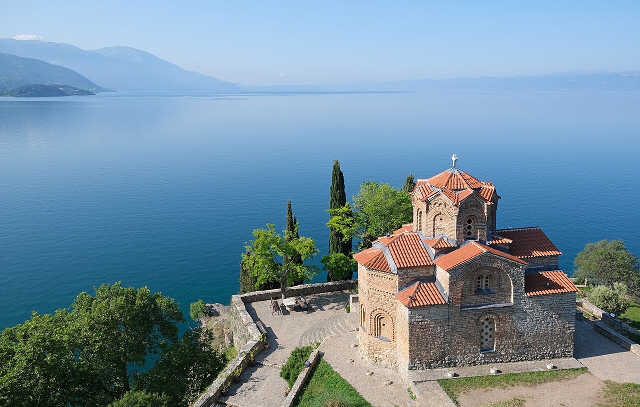
Thành phố · Korçë
The highland city of serenades, the first Albanian-language school, and the country's oldest brewery.
Hồ · Korçë
A high tectonic lake where Albania, Greece and North Macedonia meet, draining underground into Ohrid.
Di tích lịch sử · Korçë
Floor mosaics of birds and vines from a hilltop basilica above Lake Ohrid.
Thị trấn · Korçë
A lakeside town on Ohrid, a UNESCO natural and cultural site shared with North Macedonia.
Làng · Korçë
A peninsula village on Lake Ohrid with a 6th-century basilica floor mosaic and a prehistoric pile settlement.
Chủ đề · Korçë
Spring-fed canals and plane trees on the Ohrid shore east of Pogradec.
Giải thích
Four inscriptions: Butrint, the historic centres of Berat and Gjirokastra, the Ohrid region, and the primeval beech forests.
Giải thích
Twenty-eight thousand square kilometres, seventy per cent of it hills and mountains, and a coast that changes character halfway…
Có thông tin sai trên trang này? Chúng tôi hoan nghênh các đề nghị đính chính và sẽ đối chiếu với hồ sơ nguồn. Hãy cho chúng tôi biết điều gì sai và, nếu có thể, nguồn số liệu chính xác là ở đâu.