Thành phố · Fier
Fier
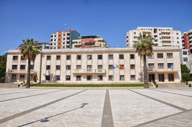
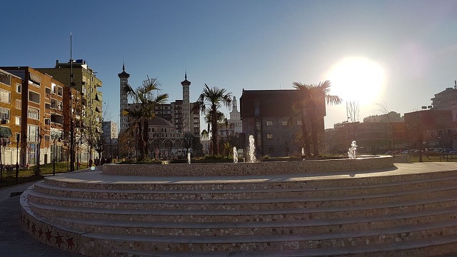
The service town of the oil and farming plain, next to the ruins of Apollonia.
Mọi hạt, mọi bờ biển, mọi thế kỷ
Chế độ hướng dẫn
Mới tìm hiểu về Albania? Mỗi trang mở đầu bằng một giải thích ngôn ngữ đơn giản mà bạn có thể đọc cho một đứa trẻ mười tuổi, trước khi đi vào chi tiết.
Chế độ chuyên gia
Bạn đã nắm được những điều cơ bản. Đi thẳng vào nội dung, với các giải thích đơn giản được ẩn đi. Đây là chế độ mặc định.
Hồ · Fier County
The largest lagoon in Albania and the western Balkans' main breeding site for the Dalmatian pelican.
Lưu
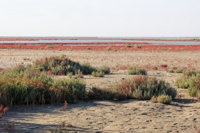
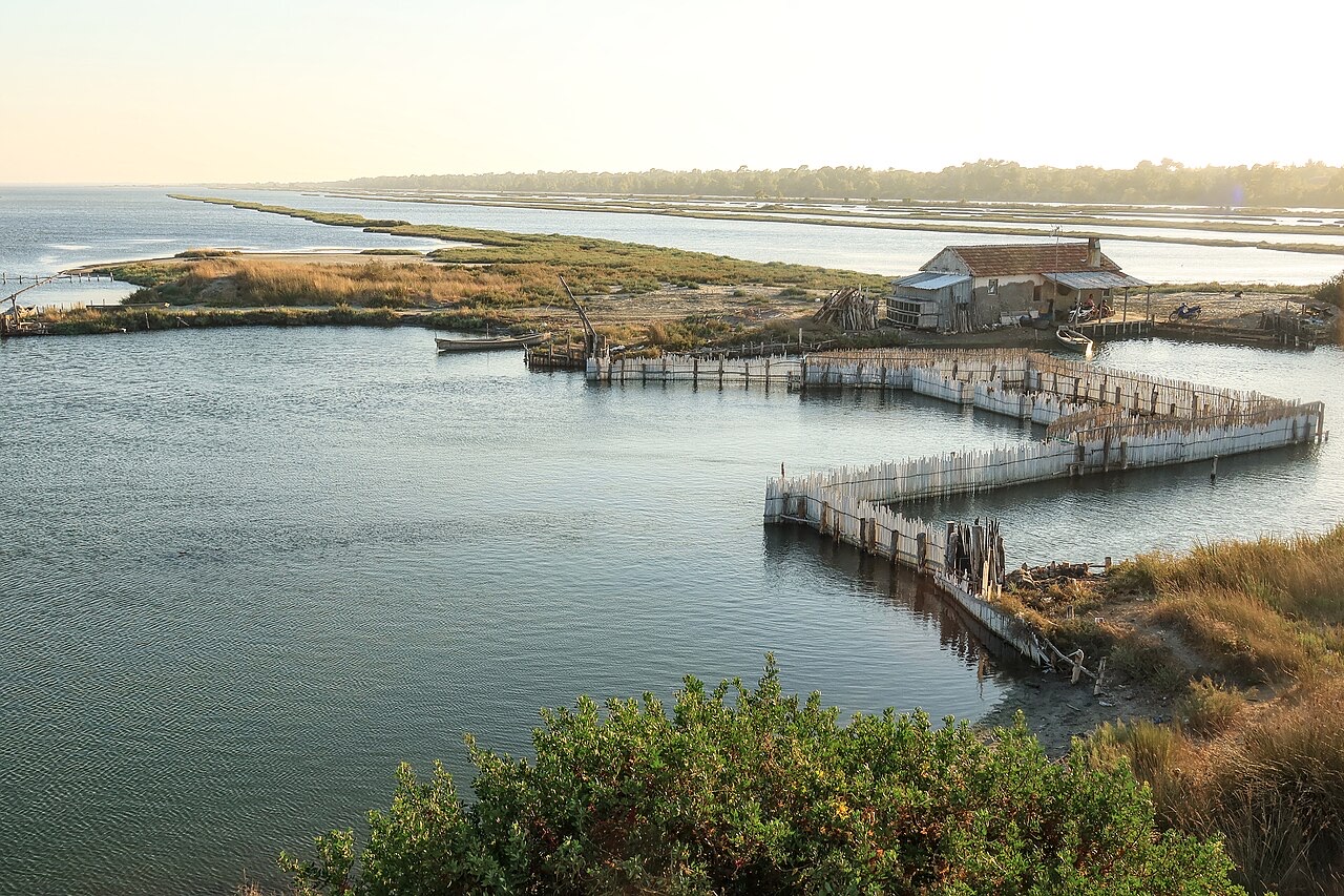
Karavasta is a big lagoon behind the coast, separated from the sea by a sandbar. It is the most important place in the region for Dalmatian pelicans, which are large white birds with orange beaks, to build their nests.
Karavasta is a big lagoon behind the coast, separated from the sea by a sandbar. It is the most important place in the region for Dalmatian pelicans, which are large white birds with orange beaks, to build their nests.
Karavasta Lagoon lies on the western coast of Albania along the southeastern shore of the Adriatic Sea, within the Myzeqe Plain. It is separated from the Adriatic by a large strip of sand and was formed by sediments discharged by two rivers: the Shkumbin to the north and the Seman to the south. These rivers continue to bring sand, silt, and shells into the system, forming numerous small islands and narrow spits over time.
Because of the volume of river-borne deposits, the lagoon bottom is relatively smooth and flat. The inflow of freshwater from both rivers gives the lagoon a low salinity and a high biomass load that noticeably affects the colour of the water. The lagoon is ranked among the largest in the Mediterranean Sea, a status that contributed to its designation as a wetland of international importance under the Ramsar Convention.
Karavasta Lagoon sits within Divjakë-Karavasta National Park, a protected area covering 222.3 square kilometres (22,230 hectares) in Fier County, southwestern Albania. The park's mandate includes protection of both the Karavasta and Godulla lagoons and the estuaries of the Shkumbin in the north and the Seman in the south.
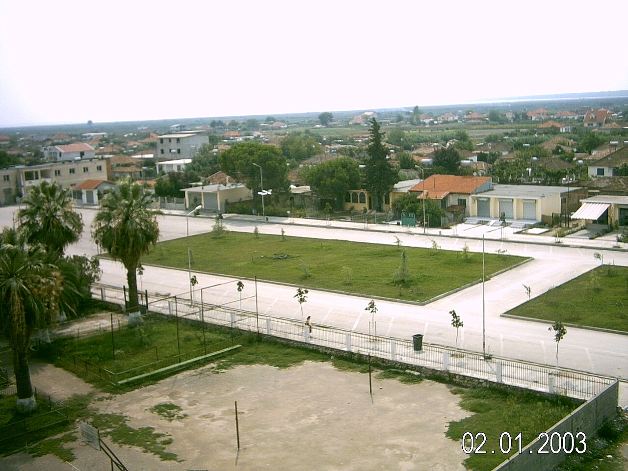
The nearest settlement to the park entrance is the town of Divjakë, located to the east. The park's coastline runs approximately 35 kilometres, from the mouth of the Shkumbin to the mouth of the Seman, and is described as relatively flat throughout. The park has been identified as both an Important Bird Area and an Important Plant Area of international significance.
The Shkumbin River originates in the eastern mountains of Valamara in Korçë County. At the gorge known as Gryka e Shkumbinit, the river breaks through the Skanderbeg Mountains after passing through a narrow valley, then crosses the coastal lowland before discharging into the Adriatic at the northern boundary of the park. Its estuary forms the northern limit of the park's core wetland zone.
The Seman River begins at the confluence of the Osum and Devoll rivers, also in Korçë County. Its estuary, at the southern end of the park, is considerably swampy and is characterised by water basins and ponds. Together, the two rivers are the principal agents shaping the lagoon's sedimentary character and salinity regime.
The park experiences a Mediterranean climate. Recorded temperatures range between 12 °C (54 °F) in February and 24 °C (75 °F) in August. Proximity to the Adriatic moderates seasonal extremes and has favoured the development of a wide range of plant and animal communities.
In biogeographical terms, the park falls entirely within the Illyrian deciduous forests terrestrial ecoregion, which is part of the Palearctic Mediterranean forests, woodlands, and scrub biome. In phytogeographical classification it belongs to the Illyrian province of the Circumboreal Region within the Boreal Kingdom. The combination of diverse geology, hydrology, and specific climatic conditions has produced habitats, many of which carry national conservation significance.
Along the shoreline, coastal sand dunes are the dominant landform. Vegetation here is sparse, consisting mainly of salt-tolerant grass species that stabilise the dunes; plant density increases as individual dunes become more stable. Wetlands and swamps across the park support algae and dense phanerogam grass communities.
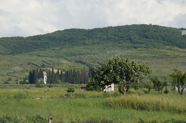
The forests are diverse, spanning coniferous, deciduous, and mixed woodland types. The largest forest block lies in the northern section of Karavasta, between the sandy beaches and the Shkumbin estuary. Aleppo pine and stone pine are described as the increasingly dominant tree species. Other recorded species include junipers, willows, oak, alder, elm, and ash.
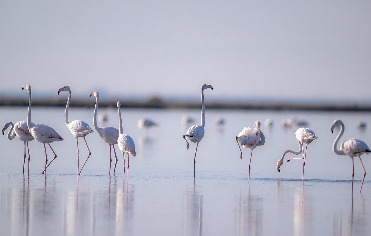
The park records 228 species of resident and migratory birds, of which approximately 15 are described as globally endangered. The sheltered open waters of the wetlands and the adjacent coast function as resting habitat for birds migrating between Europe and Africa along the Adriatic flyway.
Karavasta Lagoon holds what the article describes as 5 percent of the world population of the Dalmatian pelican, a globally endangered and extremely rare species. The lagoon is identified as the only coastal breeding site for the Dalmatian pelican along both the Adriatic and Ionian seas, making it endemic as a breeding population to this location. The article describes this as the most significant ecological value of the park.
Beyond birds, the park supports 25 mammal species, 29 reptile species, and 29 amphibian species. Mammals inhabit the dense forests and scrub and are noted as difficult to observe due to their tendency to avoid human presence. Habitat edges between meadow and forest are particularly favoured by many species because they offer both foraging ground and cover.
Recorded mammal species include the red fox, golden jackal, and roe deer. The roe deer and otter are described as endangered or nearly extinct within the park's range. The red fox, though globally the most widespread fox species, is listed among species the forests are said to shelter. The park also provides spawning and nursery habitat for fish species exploited by a local fisheries cooperative.
A resort complex project inside the national park has been proposed by Mabetex, a construction company owned by Kosovo-Albanian businessman Behgjet Pacolli. The project has drawn fierce opposition from environmentalists and local authorities. The article does not detail the outcome of this dispute or whether any formal approval process has been completed.
The tension between the park's protected status—underpinned by Ramsar designation and its identification as an Important Bird and Plant Area—and the proposed commercial development represents an unresolved conflict in the park's management as described in the source material.
Tháng nóng nhất là August (nhiệt độ cao trung bình ngày 31°C), tháng lạnh nhất là January (nhiệt độ thấp trung bình ngày 4°C), và tháng mưa nhiều nhất là November (137 mm). Tổng lượng mưa hàng năm trung bình 997 mm. Nhiệt độ nước biển đạt đỉnh vào tháng Tám ở khoảng 27°C.
| Tháng | Cao | Thấp | Mưa | Ngày mưa | Nắng/ngày | Biển |
|---|---|---|---|---|---|---|
| January | 12°C | 4°C | 108 mm | 12 | 7.3 h | 15°C |
| February | 13°C | 5°C | 94 mm | 11 | 8.3 h | 13°C |
| March | 16°C | 6°C | 96 mm | 10 | 9.8 h | 15°C |
| April | 19°C | 10°C | 76 mm | 11 | 10.9 h | 16°C |
| May | 24°C | 14°C | 59 mm | 8 | 12.2 h | 20°C |
| June | 28°C | 18°C | 38 mm | 5 | 13.6 h | 25°C |
| July | 31°C | 21°C | 21 mm | 4 | 13.8 h | 28°C |
| August | 31°C | 21°C | 30 mm | 4 | 12.9 h | 27°C |
| September | 26°C | 18°C | 92 mm | 9 | 10.8 h | 25°C |
| October | 22°C | 14°C | 114 mm | 9 | 9.3 h | 23°C |
| November | 18°C | 10°C | 137 mm | 12 | 7.4 h | 18°C |
| December | 13°C | 6°C | 129 mm | 12 | 6.7 h | 16°C |
Nguồn: ERA5 reanalysis via Open-Meteo, 1994–2023 · "Cao" và "Thấp" là nhiệt độ không khí tối đa và tối thiểu trung bình ngày. "Ngày mưa" tính những ngày có lượng mưa ít nhất 1 mm.
Thành phố · Fier
The service town of the oil and farming plain, next to the ruins of Apollonia.
Khu vực được bảo vệ · Fier
Coastal pine forest, dunes and lagoon protecting the region's Dalmatian pelican colony.
Thị trấn · Fier
An agricultural centre on the Myzeqe plain, and the site of the 1920 congress that saved Albanian statehood.
Thị trấn · Fier
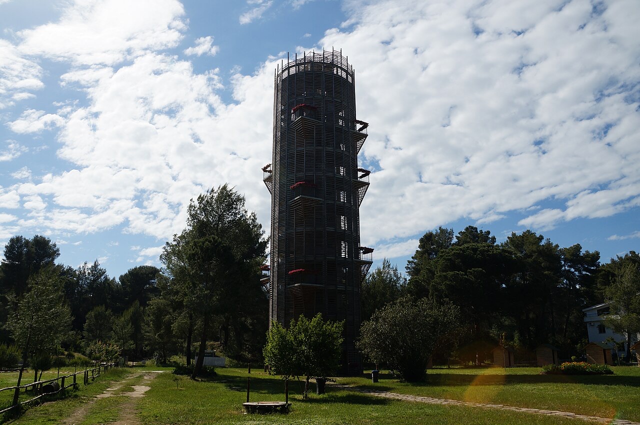
The town beside the Karavasta lagoon and the pine forest of the national park.
Có thông tin sai trên trang này? Chúng tôi hoan nghênh các đề nghị đính chính và sẽ đối chiếu với hồ sơ nguồn. Hãy cho chúng tôi biết điều gì sai và, nếu có thể, nguồn số liệu chính xác là ở đâu.