Cidade
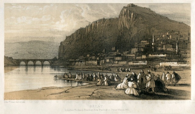
Berat
The 'city of a thousand windows': an Ottoman hill town under a still-inhabited castle, UNESCO-listed since 2008.
🧭 Vista guiada
Novo na Albânia? Cada página começa com uma explicação em linguagem simples, acessível a uma criança de dez anos, antes de entrar em pormenor.
⚡ Vista para especialistas
Já conhece o essencial. Direto ao conteúdo, com as explicações simples ocultadas. Esta é a vista predefinida.
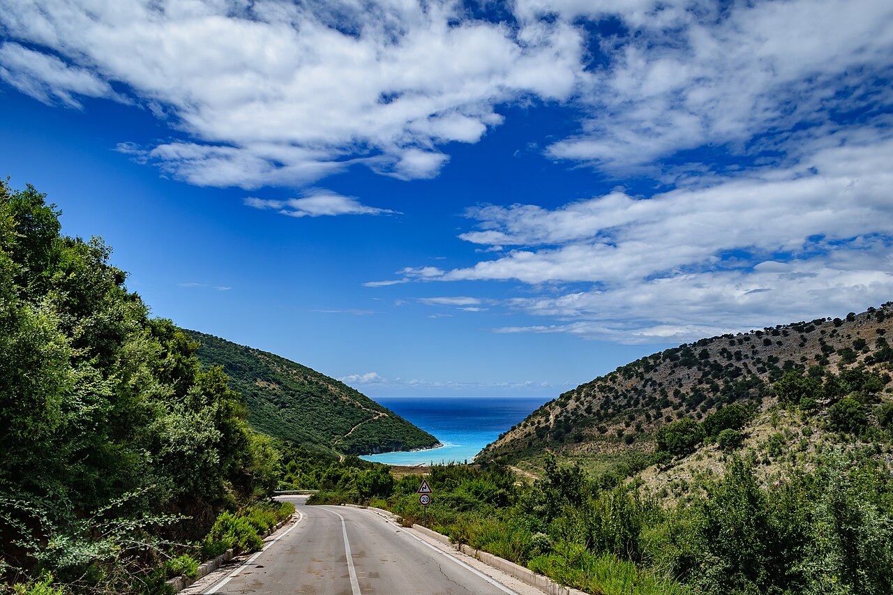
The SH8 coast road above the Ionian · Stephen Daniel Kellett · CC BY-SA 2.0 · Wikimedia Commons
Southern Albania has the two UNESCO towns, Berat and Gjirokastër, the ancient city of Butrint, the Vjosa river, and the whole of the Riviera coast.
Southern Albania has the two UNESCO towns, Berat and Gjirokastër, the ancient city of Butrint, the Vjosa river, and the whole of the Riviera coast.
The south holds both of Albania's UNESCO-listed towns, its most important archaeological sites, its warmest and longest beach season, and its wild river. It is also easier to travel in: the roads are better and the distances between attractions are shorter.
They are often treated as interchangeable and are not. Berat is white, horizontal, and built around a river; its castle is still inhabited. Gjirokastër is grey, vertical, and built of stone and slate; its castle is a fortress rather than a neighbourhood. If you can only do one, the comparison page sets out the trade-off.
The Vjosa runs about 190 km through Albania without a dam on its main channel, which makes it one of the last large free-flowing rivers in Europe. It was declared a wild river national park in March 2023. Përmet and Këlcyrë are the usual bases.
Estas são relações reais no Atlas — lugares próximos deste e temas com os quais está genuinamente associado. Nada aqui é uma recomendação genérica.
The 'city of a thousand windows': an Ottoman hill town under a still-inhabited castle, UNESCO-listed since 2008.
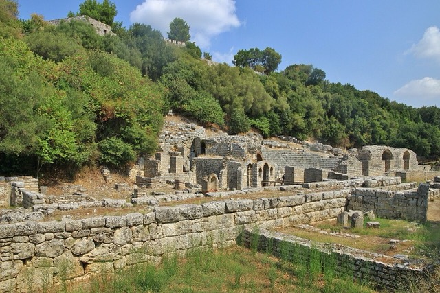
A Greek, Roman, Byzantine, Venetian and Ottoman city layered on one wooded peninsula — Albania's first UNESCO site.
The 'stone city': slate-roofed tower houses on a steep slope beneath one of the Balkans' largest castles.
One of the last large free-flowing rivers in Europe, declared a Wild River National Park in March 2023.
One road, roughly 120 km, and about twenty places to stop — what each of them is actually like.
Mountains and a short season against coast, archaeology and a long one.
Both are UNESCO-listed Ottoman towns and they look nothing like each other.
Esta página baseia-se apenas no inventário curado; ainda não lhe foi associada nenhuma fonte externa.
Algo errado nesta página? As correções são bem-vindas e verificadas em confronto com o registo de origem. Indique o que está errado e, se possível, de onde provém o valor correto.