Ciudad · Berat
Berat
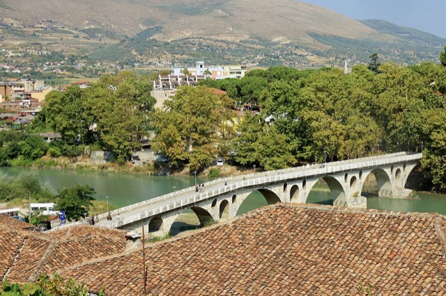
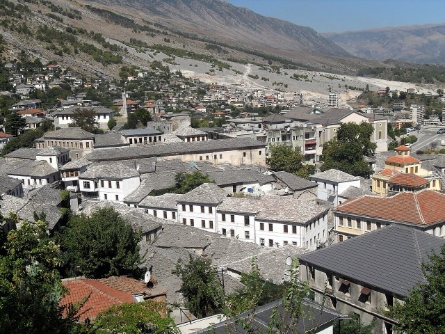
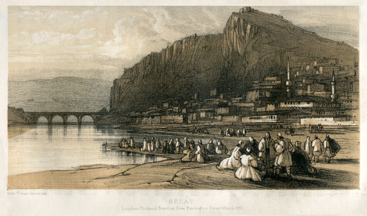
The 'city of a thousand windows': an Ottoman hill town under a still-inhabited castle, UNESCO-listed since 2008.
Cada condado, cada costa, cada siglo
Vista guiada
¿Nuevo en Albania? Cada página comienza con una explicación en lenguaje sencillo que cualquiera podría entender, antes de entrar en los detalles.
Vista experta
Ya conoces los fundamentos. Directo al contenido, con las explicaciones básicas ocultas. Esta es la vista predeterminada.
Guía
Two stone cities, the country's best archaeology, a wild river, and the Riviera behind it.
Guardar
Southern Albania has the two UNESCO towns, Berat and Gjirokastër, the ancient city of Butrint, the Vjosa river, and the whole of the Riviera coast.
Southern Albania has the two UNESCO towns, Berat and Gjirokastër, the ancient city of Butrint, the Vjosa river, and the whole of the Riviera coast.
The south holds both of Albania's UNESCO-listed towns, its most important archaeological sites, its warmest and longest beach season, and its wild river. It is also easier to travel in: the roads are better and the distances between attractions are shorter.
They are often treated as interchangeable and are not. Berat is white, horizontal, and built around a river; its castle is still inhabited. Gjirokastër is grey, vertical, and built of stone and slate; its castle is a fortress rather than a neighbourhood. If you can only do one, the comparison page sets out the trade-off.
The Vjosa runs about 190 km through Albania without a dam on its main channel, which makes it one of the last large free-flowing rivers in Europe. It was declared a wild river national park in March 2023. Përmet and Këlcyrë are the usual bases.
Ciudad · Berat
The 'city of a thousand windows': an Ottoman hill town under a still-inhabited castle, UNESCO-listed since 2008.
Sitio histórico · Vlorë
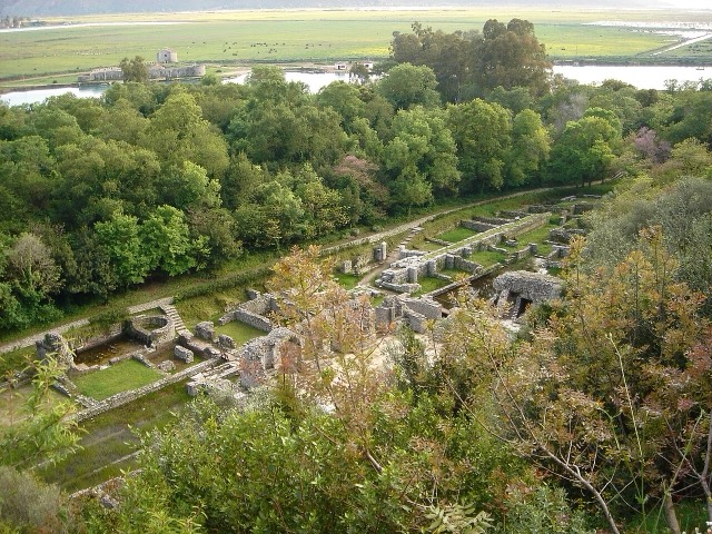
A Greek, Roman, Byzantine, Venetian and Ottoman city layered on one wooded peninsula — Albania's first UNESCO site.
Ciudad · Gjirokastër
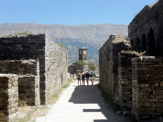
The 'stone city': slate-roofed tower houses on a steep slope beneath one of the Balkans' largest castles.
Río · Gjirokastër
One of the last large free-flowing rivers in Europe, declared a Wild River National Park in March 2023.
Guía
One road, roughly 120 km, and about twenty places to stop. What each of them is actually like.
Comparación
Mountains and a short season against coast, archaeology and a long one.
Comparación
Both are UNESCO-listed Ottoman towns and they look nothing like each other.
¿Algo incorrecto en esta página? Las correcciones son bienvenidas y se contrastan con el registro fuente. Indíquenos qué es incorrecto y, si puede, de dónde procede el dato correcto.