Strada · Kukës
A1 — the Nation's Road
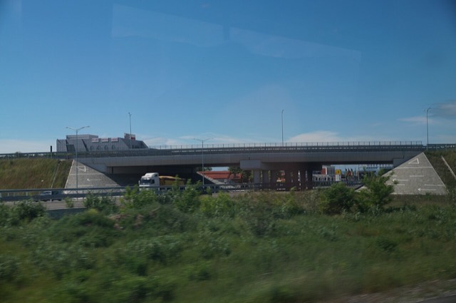
The Durrës–Kukës–Morina motorway, including the 5.6 km Kalimash tunnel, linking Albania to Kosovo.
Ogni contea, ogni costa, ogni secolo
Vista guidata
Non conosci l'Albania? Ogni pagina si apre con una spiegazione in linguaggio semplice, comprensibile anche a un bambino di dieci anni, prima di entrare nei dettagli.
Vista per esperti
Conosci già le basi. Direttamente alla sostanza, con le spiegazioni elementari nascoste. Questa è l'impostazione predefinita.
Guida
Shkodër to Sarandë is about 400 km. Done properly it takes two days; here is how the country splits up.
Salva
You can drive the length of Albania in a long day, but it is much better over a week. The main roads on the plain are fast; the mountain and coast roads are slow.
You can drive the length of Albania in a long day, but it is much better over a week. The main roads on the plain are fast; the mountain and coast roads are slow.
The A1 from Durrës towards Kosovo and the SH2/A2 down the coastal plain are the fast roads. Everything interesting is off them. A realistic plan treats the plain as transit and spends the time in the mountains and on the coast.
Confirm before booking whether the hire company permits taking the car into Kosovo, Montenegro, North Macedonia or Greece, and whether a green card is included — cross-border restrictions are the single most common problem visitors hit. Rough mountain tracks are usually excluded from the insurance; the road to Theth is sealed but the tracks beyond it are not.
Strada · Kukës
The Durrës–Kukës–Morina motorway, including the 5.6 km Kalimash tunnel, linking Albania to Kosovo.
Guida
The roads are better than the reputation and the driving is worse. What that means in practice.
Guida
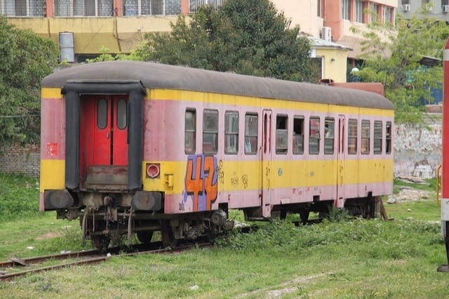
Furgons, intercity buses, a near-dormant railway, and why most visitors end up hiring a car.
Strada · Vlorë
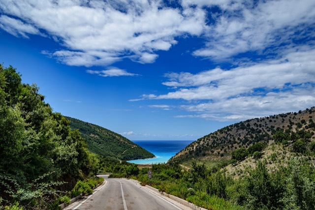
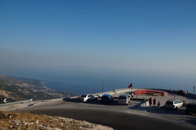
The single road along the Albanian Riviera, over the Llogara pass and down the Ionian coast.
Hai notato un errore in questa pagina? Le correzioni sono benvenute e vengono verificate rispetto al record di fonte. Indica cosa è sbagliato e, se possibile, da dove proviene il dato corretto.