Исторический объект · Tiranë
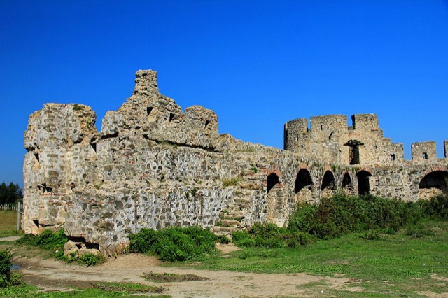
Fortress of Bashtovë
A rare rectangular lowland fortress built by Venice to guard a river port on the Shkumbin.
Каждый округ, каждый берег, каждый век
Режим с пояснениями
Впервые об Албании? Каждая страница начинается с доступного объяснения, понятного даже десятилетнему ребёнку, и лишь затем переходит к подробностям.
Режим эксперта
Основы вам уже известны. Сразу к существу вопроса, без простых пояснений. Это режим по умолчанию.
Пляж · Tiranë County
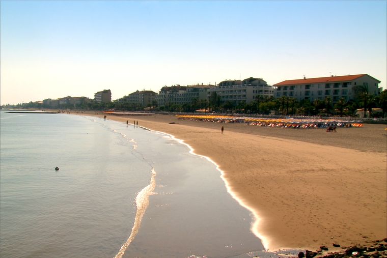
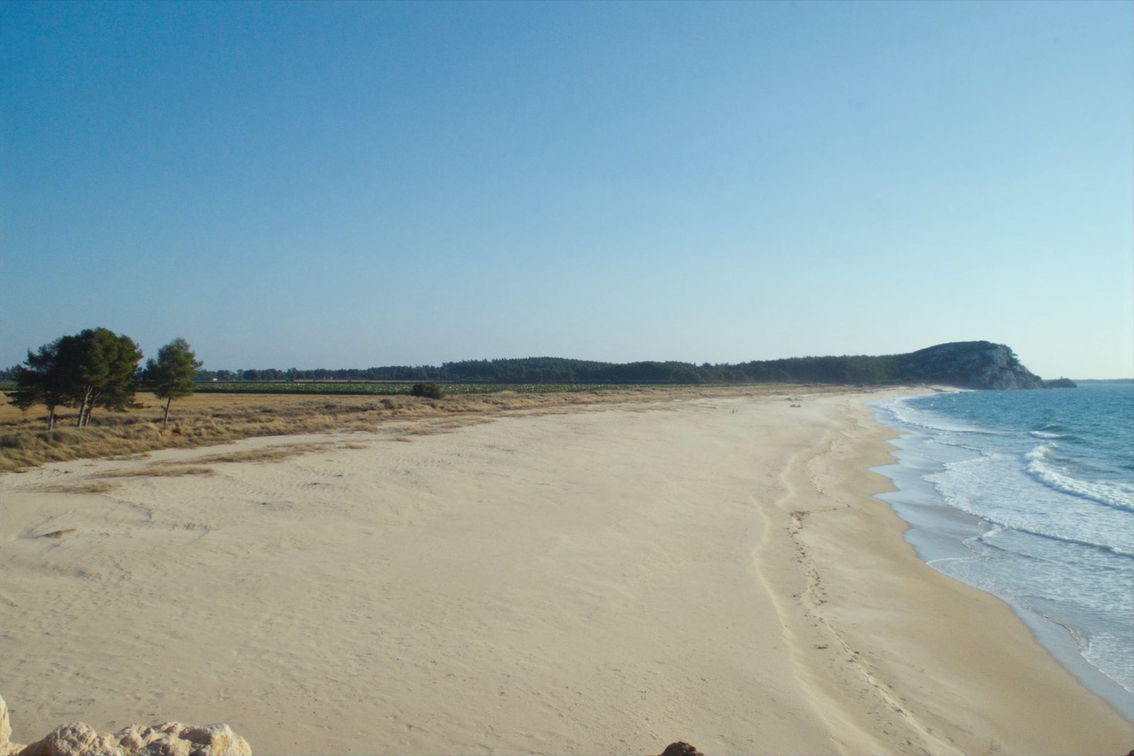
A quieter sand beach south of Kavajë, backed by farmland rather than hotels.
Сохранить
Spille is a sandy beach south of Kavajë. There are fewer hotels here than at Durrës, so it feels emptier.
Spille is a sandy beach south of Kavajë. There are fewer hotels here than at Durrës, so it feels emptier.
Исторический объект · Tiranë
A rare rectangular lowland fortress built by Venice to guard a river port on the Shkumbin.
Пляж · Durrës
A continuous sand strip running south from the city — the busiest beach in Albania by visitor numbers.
Городок · Tiranë
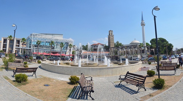
A market town behind the Adriatic dunes, near the wide beaches of Golem and Spille.
Городок · Tiranë
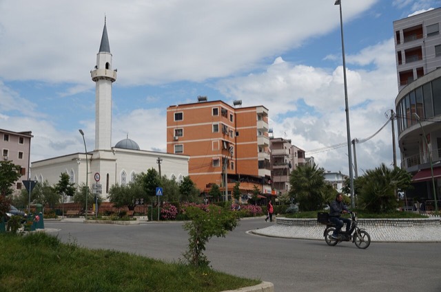
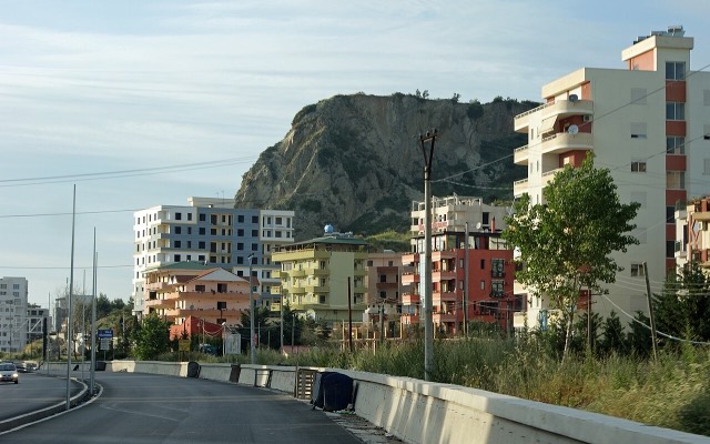
A junction town on the Shkumbin near the Bashtovë fortress and the Spille beaches.
Пляж · Tiranë
The continuation of the Durrës sand south past Qerret and Mali i Robit.
Нашли ошибку на этой странице? Исправления приветствуются и проверяются по исходной записи. Сообщите нам, что именно неверно, и по возможности укажите, откуда взята правильная цифра.