Historische site · Tiranë
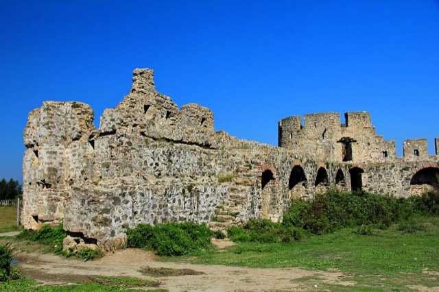
Fortress of Bashtovë
A rare rectangular lowland fortress built by Venice to guard a river port on the Shkumbin.
Elke provincie, elke kust, elke eeuw
Begeleidende weergave
Nieuw in Albanië? Elke pagina begint met een uitleg in eenvoudige taal die u aan een tienjarige zou kunnen voorlezen, voordat de details beginnen.
Expertweergave
U kent de basis al. Meteen naar de kern, met de eenvoudige uitleg verborgen. Dit is de standaardinstelling.
Strand · Tiranë County
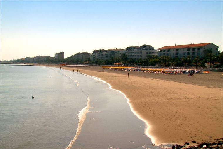
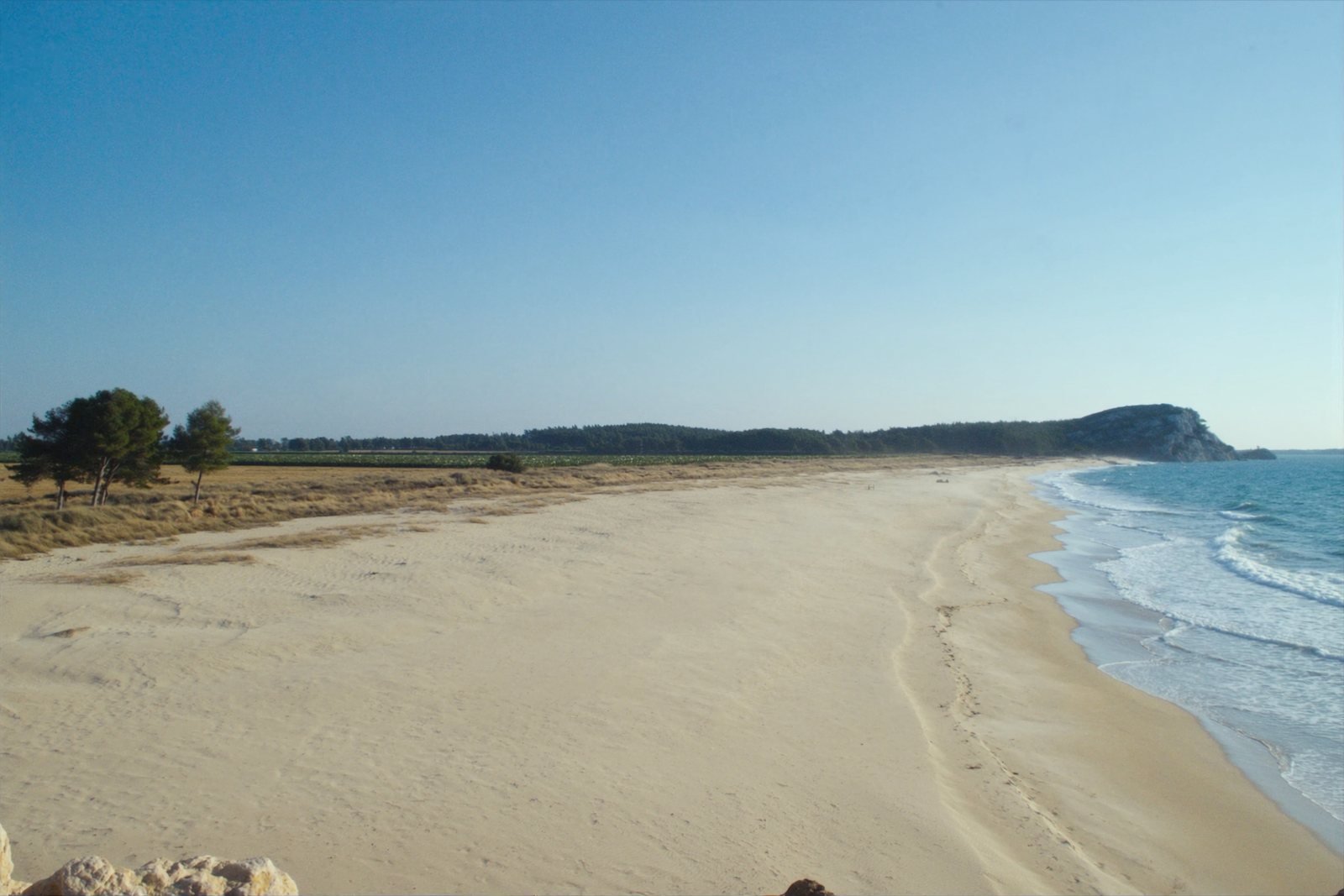
A quieter sand beach south of Kavajë, backed by farmland rather than hotels.
Opslaan
Spille is a sandy beach south of Kavajë. There are fewer hotels here than at Durrës, so it feels emptier.
Spille is a sandy beach south of Kavajë. There are fewer hotels here than at Durrës, so it feels emptier.
Historische site · Tiranë
A rare rectangular lowland fortress built by Venice to guard a river port on the Shkumbin.
Strand · Durrës
A continuous sand strip running south from the city — the busiest beach in Albania by visitor numbers.
Plaats · Tiranë
A market town behind the Adriatic dunes, near the wide beaches of Golem and Spille.
Plaats · Tiranë
A junction town on the Shkumbin near the Bashtovë fortress and the Spille beaches.
Strand · Tiranë
The continuation of the Durrës sand south past Qerret and Mali i Robit.
Iets onjuist op deze pagina? Correcties zijn welkom en worden gecontroleerd aan de hand van de bronregistratie. Laat ons weten wat onjuist is en, indien mogelijk, waar het juiste cijfer vandaan komt.