史跡 · Tiranë
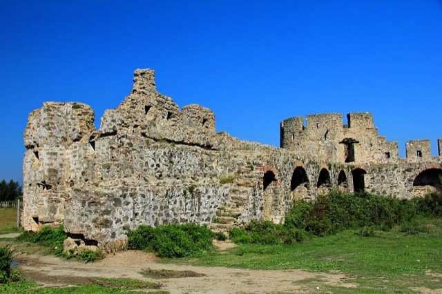
Fortress of Bashtovë
A rare rectangular lowland fortress built by Venice to guard a river port on the Shkumbin.
すべての県、すべての海岸、すべての世紀
ガイドビュー
アルバニアを初めて知る方へ。各ページは、詳細に入る前に、10歳の子どもにも読み聞かせられる平易な説明から始まります。
エキスパートビュー
基本知識はすでにお持ちの方向け。平易な説明を非表示にし、内容を直接表示します。これがデフォルトです。
ビーチ · Tiranë County
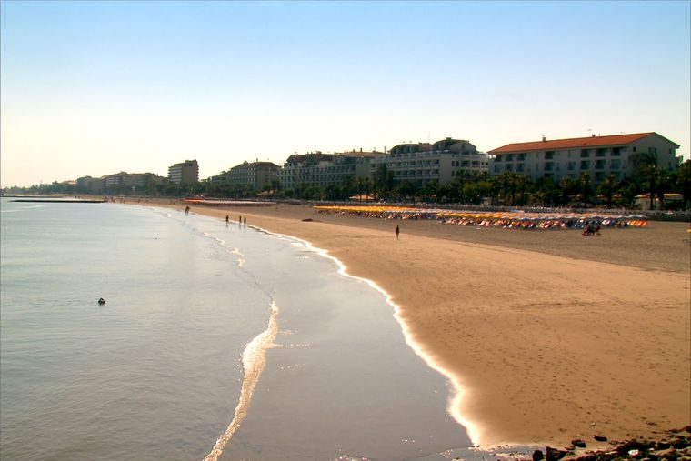
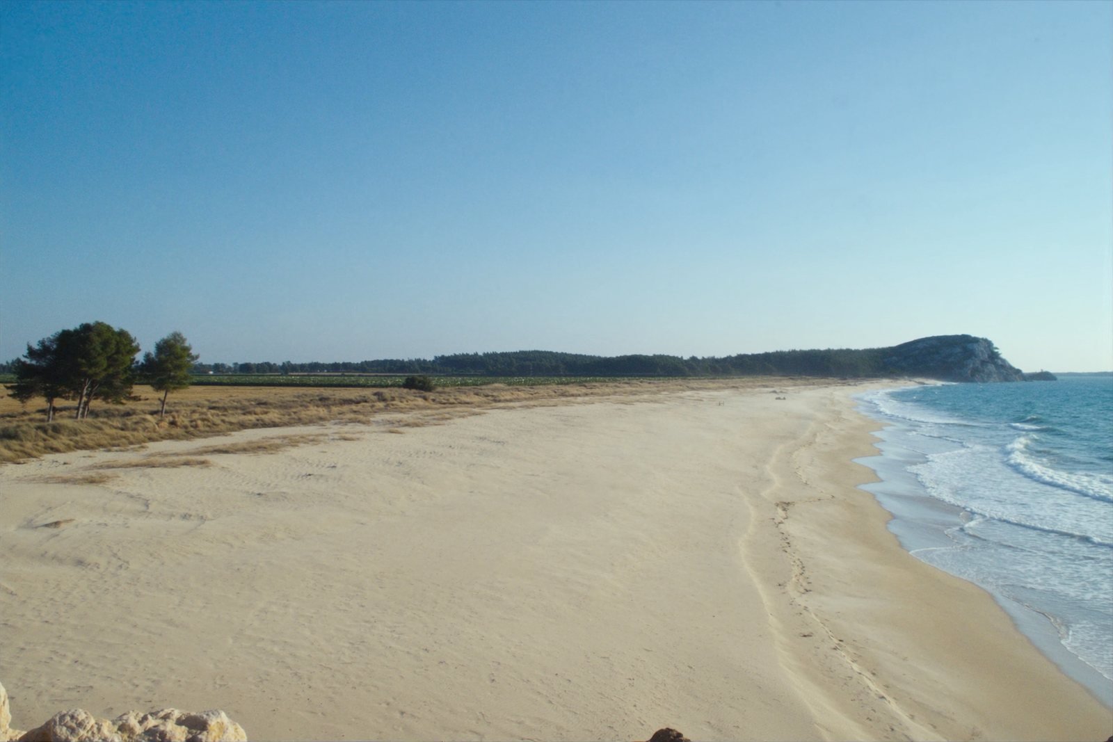
A quieter sand beach south of Kavajë, backed by farmland rather than hotels.
保存
Spille is a sandy beach south of Kavajë. There are fewer hotels here than at Durrës, so it feels emptier.
Spille is a sandy beach south of Kavajë. There are fewer hotels here than at Durrës, so it feels emptier.
史跡 · Tiranë
A rare rectangular lowland fortress built by Venice to guard a river port on the Shkumbin.
ビーチ · Durrës
A continuous sand strip running south from the city — the busiest beach in Albania by visitor numbers.
町 · Tiranë
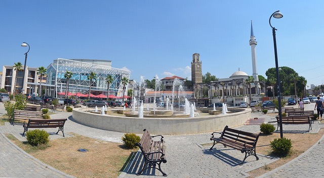
A market town behind the Adriatic dunes, near the wide beaches of Golem and Spille.
町 · Tiranë
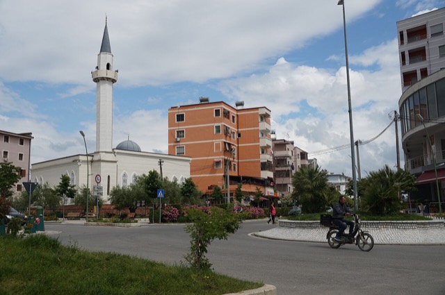
A junction town on the Shkumbin near the Bashtovë fortress and the Spille beaches.
ビーチ · Tiranë
The continuation of the Durrës sand south past Qerret and Mali i Robit.
このページに誤りがありますか? 修正は歓迎しており、原典記録と照合して確認します。何が誤っているか、また可能であれば正しい数値の出典をお知らせください。