Ciudad · Vlorë
Sarandë
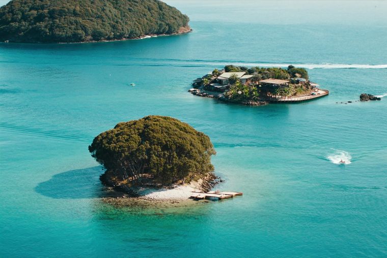
The Ionian resort town facing Corfu, and the arrival point for most visitors to southern Albania.
Cada condado, cada costa, cada siglo
Vista guiada
¿Nuevo en Albania? Cada página comienza con una explicación en lenguaje sencillo que cualquiera podría entender, antes de entrar en los detalles.
Vista experta
Ya conoces los fundamentos. Directo al contenido, con las explicaciones básicas ocultas. Esta es la vista predeterminada.
Playa · Vlorë County
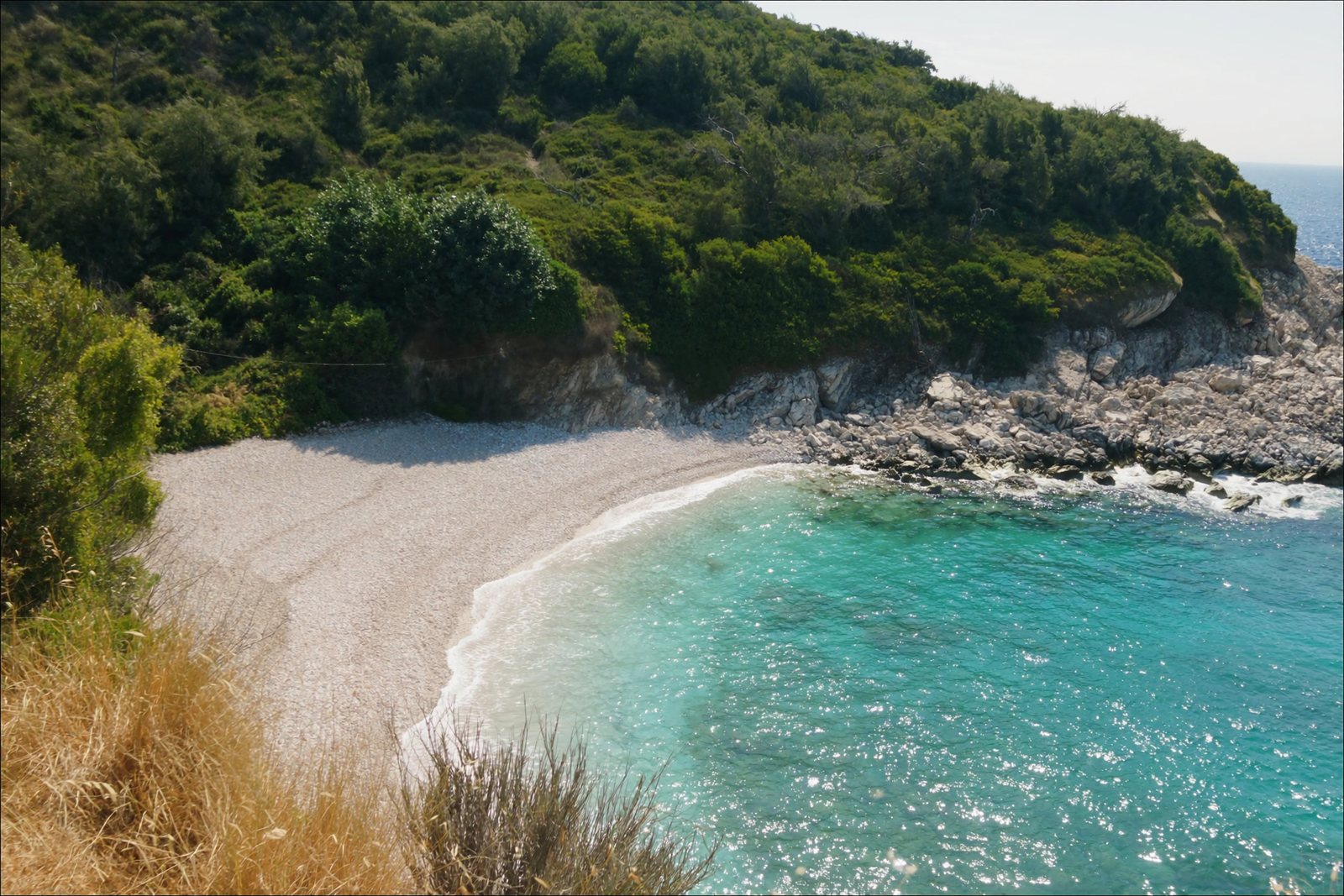
A small cove between Sarandë and Ksamil, reached by a rough track.
Guardar
Pulëbardha is a small beach in a cove near Ksamil. You have to walk or drive down a bumpy track to reach it, which keeps it quieter than the main beaches.
Pulëbardha is a small beach in a cove near Ksamil. You have to walk or drive down a bumpy track to reach it, which keeps it quieter than the main beaches.
Pulëbardha Beach lies within the Ksamil area of southern Albania, a coastal village built during the communist era in 1966, located south of Sarandë on the road to Butrint. The wider Ksamil area forms part of Butrint National Park and, following the 2015 local government reform, became a subdivision of the municipality of Sarandë.
The article supplied does not provide specific information about Pulëbardha Beach by name — its dimensions, formation, facilities, or precise location within the Ksamil coastline are not described in the source material consulted. Any further detail would require a source that addresses the beach directly.
Ksamil is described as one of the most frequented coastal resorts in Albania, attracting both domestic and foreign visitors. Ksamil Beach and Albania's Ionian Coast to the north were included in the Guardian newspaper's list of 20 of the best bargain beach holidays for 2013.
Visitor numbers have grown to include Albanians from Kosovo and other Albanian-speaking areas as well as increasing numbers of international tourists. The article notes that this growth has led to new hotel construction and to higher prices in the area.
The principal attractions cited in the source for the Ksamil area include the Ksamil Islands, the Blue Eye spring at Muzinë, Butrint National Park, and the town of Sarandë. Minor beaches lying north of Ksamil are also mentioned, though not individually named in the article.
Butrint National Park, of which the Ksamil area forms a part, provides the protected natural and archaeological setting within which beaches in this stretch of coast are situated.
The coastal village of Ksamil was established in 1966 during Albania's communist period. It functioned as a separate municipality until the 2015 local government reform, after which it became a subdivision of Sarandë municipality. The municipal unit encompasses the villages of Ksamil and Manastir.
Population figures for the broader Ksamil area vary significantly by source and date. The 2023 census recorded 2,731 residents, while Civil Office records from 2018 gave a figure of 9,137. Official estimates from 2014 placed the commune population at 9,215.
In 1992 the village of Ksamil was inhabited by Muslim Albanians (1,125 persons), Greeks (520), and Orthodox Albanians (210), according to the article.
According to official estimates from 2014, of the commune's total population of 9,215, some 4,207 were recorded as Greeks, seven as Aromanians, and the remainder as Albanians. These figures relate to the broader commune rather than to any individual beach locality.
The article consulted for this entry covers Ksamil as a village and former municipality. It does not contain information specific to Pulëbardha Beach — no data on the beach's length, sand type, water depth, infrastructure, access routes, ownership, or environmental status appears in the supplied text.
Readers seeking detail specific to Pulëbardha Beach should consult sources that address that location directly. Information presented here reflects only what is recorded in the source article about the Ksamil area as a whole.
El mes más cálido es August (máxima diaria media 31°C), el más frío es January (mínima diaria media 6°C), y el más lluvioso es November (205 mm). La precipitación anual total promedia 1,204 mm. La temperatura del mar alcanza su máximo en agosto, en torno a 26°C.
| Mes | Máx. | Mín. | Lluvia | Días de lluvia | Sol/día | Mar |
|---|---|---|---|---|---|---|
| January | 12°C | 6°C | 139 mm | 12 | 7.2 h | 16°C |
| February | 13°C | 6°C | 120 mm | 11 | 8.0 h | 16°C |
| March | 15°C | 7°C | 109 mm | 11 | 9.6 h | 16°C |
| April | 18°C | 10°C | 75 mm | 10 | 10.9 h | 16°C |
| May | 23°C | 15°C | 51 mm | 7 | 12.1 h | 19°C |
| June | 27°C | 19°C | 27 mm | 4 | 13.6 h | 24°C |
| July | 30°C | 22°C | 13 mm | 2 | 13.8 h | 26°C |
| August | 31°C | 22°C | 21 mm | 3 | 12.9 h | 26°C |
| September | 26°C | 19°C | 110 mm | 8 | 10.6 h | 26°C |
| October | 22°C | 15°C | 146 mm | 10 | 9.1 h | 25°C |
| November | 17°C | 11°C | 205 mm | 13 | 7.1 h | 21°C |
| December | 13°C | 7°C | 187 mm | 13 | 6.5 h | 18°C |
Fuente: ERA5 reanalysis via Open-Meteo, 1994–2023 · «Máx.» y «Mín.» son la temperatura del aire máxima y mínima diaria media. «Días de lluvia» cuenta los días con al menos 1 mm de precipitación.
Ciudad · Vlorë
The Ionian resort town facing Corfu, and the arrival point for most visitors to southern Albania.
Playa · Vlorë
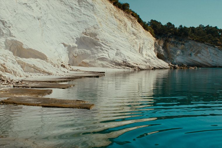
Rock shelves and a small pebble strip where the water is unusually still.
Localidad · Vlorë
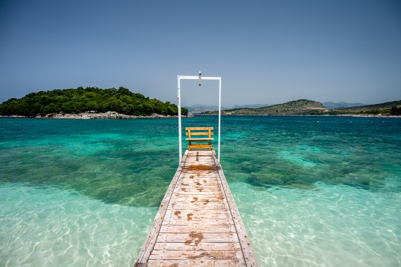
Four small islands and very clear shallow water; the most photographed and most crowded stretch of the Albanian coast.
¿Algo incorrecto en esta página? Las correcciones son bienvenidas y se contrastan con el registro fuente. Indíquenos qué es incorrecto y, si puede, de dónde procede el dato correcto.