Espace protégé · Vlorë
Llogara National Park
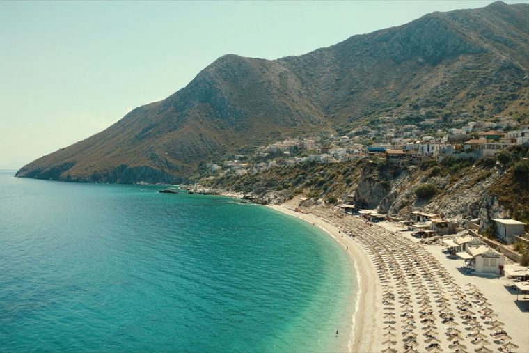
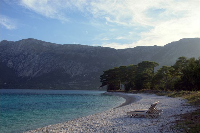
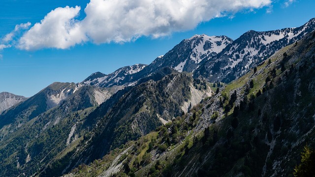
A pine-forested pass at 1,027 m where the road drops from mountain forest to the Ionian in a few kilometres.
Chaque comté, chaque côte, chaque siècle
Vue guidée
Nouveau en Albanie ? Chaque page s'ouvre sur une explication en langage clair, accessible à un enfant de dix ans, avant d'entrer dans le détail.
Vue expert
Vous connaissez déjà les bases. Directement à l'essentiel, les explications simples étant masquées. Il s'agit du réglage par défaut.
Plage · Vlorë County
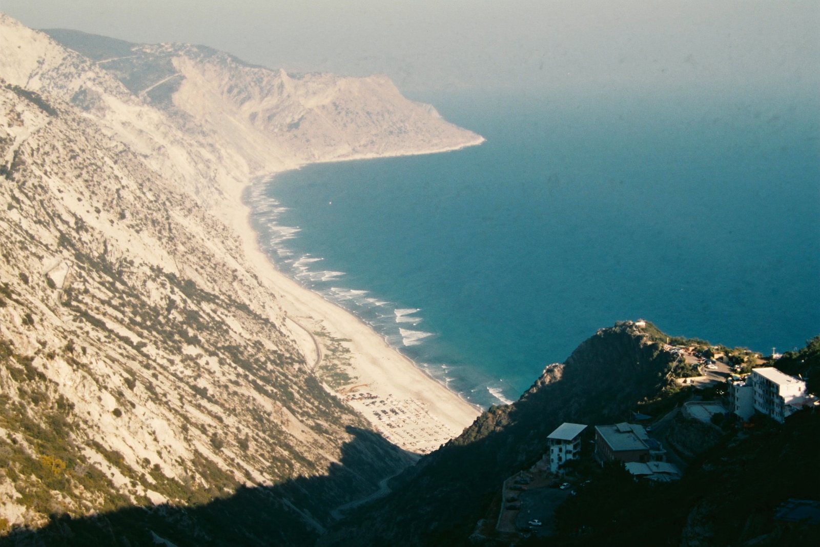
The first Riviera beach south of the Llogara pass, below the road's most dramatic descent.
Enregistrer
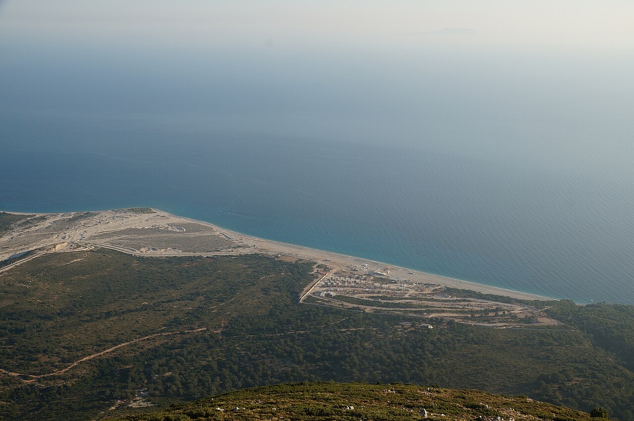
Palasë is the first beach you reach after coming down the mountain road from Llogara. It is wide, pebbly and framed by very steep slopes.
Palasë is the first beach you reach after coming down the mountain road from Llogara. It is wide, pebbly and framed by very steep slopes.
Palasë is a village in Himarë municipality, Vlorë County, southern Albania, situated approximately 13 kilometres from the town of Himarë. It lies close to Llogara National Park and adjoins the Ionian coast on the Albanian Riviera. The village sits several kilometres northwest of Dhërmi, accessed via the main road out of that town, with the Llogara Pass and Mount Çika in the immediate vicinity.
The Thunderbolt Mountains, forming the western chain of the Ceraunian Mountains, enclose the area to the north and northeast. To the southwest the terrain descends from Mount Çika toward the Ionian coast, from which the Greek islands of Othonoi and Corfu are visible in the distance. Geologically, the terrain belongs to the western part of the Ionian Tectonic plate, and this stretch of coastline is identified by geologists as the Palasë–Butrint coastline.
The village is built around narrow stone roads and white houses, centred on a plane tree (platanus) estimated to be approximately 400 years old. Palasë's beach extends 1.5 kilometres in length. To the north of the village lies a small bay called Gramma (meaning 'letter' in Greek), accessible only by sea; the surrounding cliffs contain epigraphs, texts, and symbols that are thought to have been carved by sailors, though their precise origins are uncertain.
The Roman writer Lucan recorded a site named Palaeste in the Ceraunian Mountains in Chaonia, which may correspond to modern Palasë, though this identification is not confirmed. The name Palaeste is considered to be of Illyrian origin, and the site was placed geographically in southern Illyria near Oricum. Julius Caesar is recorded as having landed at Palaeste after crossing from Brundusium in order to prosecute his war against Pompey.
A local legend holds that the settlement was originally located directly on the coast at a site known as Meghalihora (Greek: Μεγάλη χώρα, meaning 'great land'), but that pirate attacks during the 12th and 13th centuries caused the population to relocate slightly inland. A phonetic shift in the local Greek dialect of Himara, whereby /st/ becomes /s/, is relevant to the connection between the ancient name Palaeste and the modern form Paliasa; if this linguistic link is valid, the sound change must have occurred before 1582.
Palasë is recorded in the Ottoman defter of 1583 as a settlement in the Sanjak of Delvina, at that time comprising 95 households. The personal names documented in the defter predominantly belong to the Albanian onomastic sphere, with examples including Gjin Gjoni, Leka Kosta, and Nika Pali. However, names reflecting Orthodox Christian anthroponymy of both Greek origin (such as Andrea Komnini and Jorgo Kristulli) and Slavic origin (such as Vaso Petko and Dhimo Bojko) also appear.
In 1632 an Albanian school was established in the village, followed by a Greek school in 1663. The Italian missionary Giuseppe Schirò wrote in 1722 that Palasë was inhabited by Greeks. Whether there was any significant migration to or from the village remains unclear. Fieldwork by Andrei Sobolev in the 21st century documented that several families — Babe, Gjinajt, Çaço, Paço, Xhelilaj, and Mëhilli — originated from Dukat, while others (Milaj, Papadhates) came from Krujë and the Peloponnese.
In 1720, the villages of Himara, Palasa, Ilias, Vuno, Pilur, and Qeparo collectively refused to submit to the Pasha of Delvina. Until the 1750s the Himarë region comprised more than 50 villages, but by the end of the 1780s only 16 remained, stretched along the coast from Saranda to Palasë. Following Ali Pasha's defeat, the region contracted further to seven villages. By 1872, a Greek elementary school was operating in Palasa, funded by a wealthy local resident named Nasios Dimoulis.
In 1914 Palasa joined the movement led by Spyros Spyromilios associated with the establishment of the Autonomous Republic of Northern Epirus. In September 1916, the provinces of Himarë and Tepelenë were incorporated into the Vlorë prefecture and placed under Italian armed forces administration, with Himarë city serving as the official capital of the region. Under this arrangement, Palasë was administered alongside the coastal Orthodox villages of Dhërmi, Kudhës, Qeparo, Vuno, and Iljas.
Following incorporation into the Albanian state, the inhabitants of Palasë were officially recognized as part of the Greek minority. In 1934, a portion of the local population petitioned the League of Nations for the opening of a Greek school in the village. During the People's Republic of Albania, however, the minority status of Palasë was revoked, with the stated justification that there were insufficient Greek speakers in the settlement.
The inhabitants of Palasë are bilingual, speaking primarily a variant of the Himariote Greek dialect as well as Tosk Albanian. The local Greek idiom retains features identified by researchers as belonging to an older Greek linguistic substratum. Although residents are Greek speakers, they are also described as fluent in Albanian.
Bilingualism in Palasa takes a compartmentalised or situational form, in which the two languages are used in distinct social contexts. Greek is used in the context of Greek Orthodox religious rituals, while Albanian is used in the transmission of traditional folk and mythological rituals. Lexical borrowings from Albanian into Greek are found specifically in terminology relating to village life, which researchers interpret as indicating that the cultural life of the village was originally Albanian-speaking, reflecting the function of Albanian as the prevailing language in everyday village affairs.
Toponyms of Greek origin are recorded more densely in the area of Palasë than in other parts of the southern Albanian coast. Some of these place names are of archaic origin and are said to preserve distinctive features of the Greek language not found elsewhere.
Two notable individuals are associated with Palasë: Aleks Çaçi, described as a writer and publicist, and Paskal Milo (born 1949), a politician.
The 1987 Albanian film The Waxed Shirts (Albanian: Këmishët me dyllë) was filmed in Palasë.
Le mois le plus chaud est August (maximum quotidien moyen 28°C), le plus froid est January (minimum quotidien moyen 4°C), et le plus pluvieux est November (255 mm). La pluviométrie annuelle totale est en moyenne de 1,652 mm. La température de la mer atteint son maximum en août, à environ 26°C.
| Mois | Max. | Min. | Pluie | Jours de pluie | Ensoleil./jour | Mer |
|---|---|---|---|---|---|---|
| January | 10°C | 4°C | 190 mm | 13 | 7.1 h | 17°C |
| February | 11°C | 5°C | 163 mm | 12 | 8.0 h | 15°C |
| March | 13°C | 6°C | 156 mm | 13 | 9.5 h | 15°C |
| April | 16°C | 9°C | 117 mm | 14 | 10.8 h | 16°C |
| May | 21°C | 13°C | 93 mm | 12 | 12.1 h | 19°C |
| June | 25°C | 18°C | 59 mm | 8 | 13.6 h | 24°C |
| July | 28°C | 20°C | 30 mm | 6 | 13.8 h | 26°C |
| August | 28°C | 20°C | 39 mm | 6 | 12.9 h | 26°C |
| September | 24°C | 17°C | 138 mm | 11 | 10.7 h | 26°C |
| October | 20°C | 13°C | 173 mm | 11 | 9.2 h | 25°C |
| November | 15°C | 10°C | 255 mm | 14 | 7.1 h | 21°C |
| December | 12°C | 6°C | 238 mm | 14 | 6.5 h | 18°C |
Source: ERA5 reanalysis via Open-Meteo, 1994–2023 · « Max. » et « Min. » sont les températures de l'air maximale et minimale quotidiennes moyennes. « Jours de pluie » comptabilise les jours avec au moins 1 mm de précipitations.
Espace protégé · Vlorë
A pine-forested pass at 1,027 m where the road drops from mountain forest to the Ionian in a few kilometres.
Plage · Vlorë
A long white pebble shore under the Ceraunian ridge, and the Riviera's main nightlife strip.
Plage · Vlorë
The pine-backed northern half of the Dhërmi bay, slightly quieter than the main strip.
Montagne · Vlorë
The 2,045 m high point of the Ceraunian ridge, directly above the Riviera coast.
Objet · Vlorë
The 120 km of Ionian coast between the Llogara pass and Sarandë, where the Ceraunian mountains fall straight into the sea.
Une erreur sur cette page ? Les corrections sont les bienvenues et sont vérifiées par rapport au document source. Indiquer ce qui est erroné et, si possible, d'où provient le chiffre correct.