Исторический объект · Vlorë
Butrint
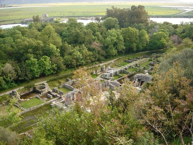
A Greek, Roman, Byzantine, Venetian and Ottoman city layered on one wooded peninsula — Albania's first UNESCO site.
Каждый округ, каждый берег, каждый век
Режим с пояснениями
Впервые об Албании? Каждая страница начинается с доступного объяснения, понятного даже десятилетнему ребёнку, и лишь затем переходит к подробностям.
Режим эксперта
Основы вам уже известны. Сразу к существу вопроса, без простых пояснений. Это режим по умолчанию.
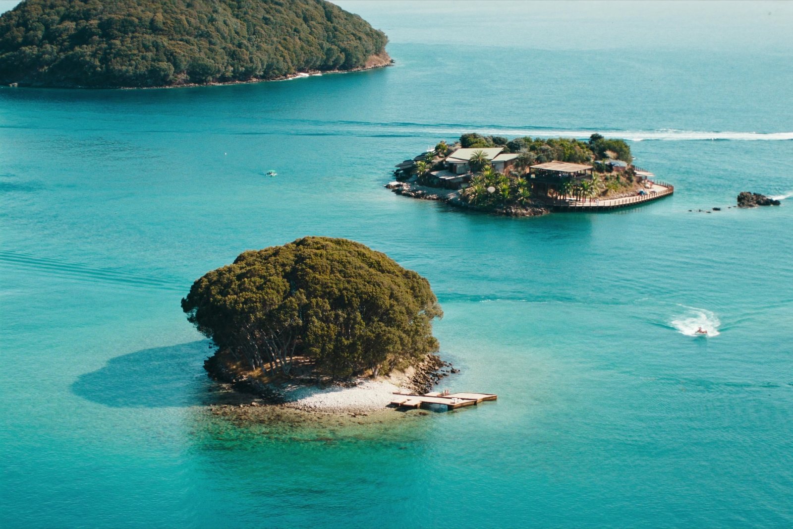
Пляж · Vlorë County
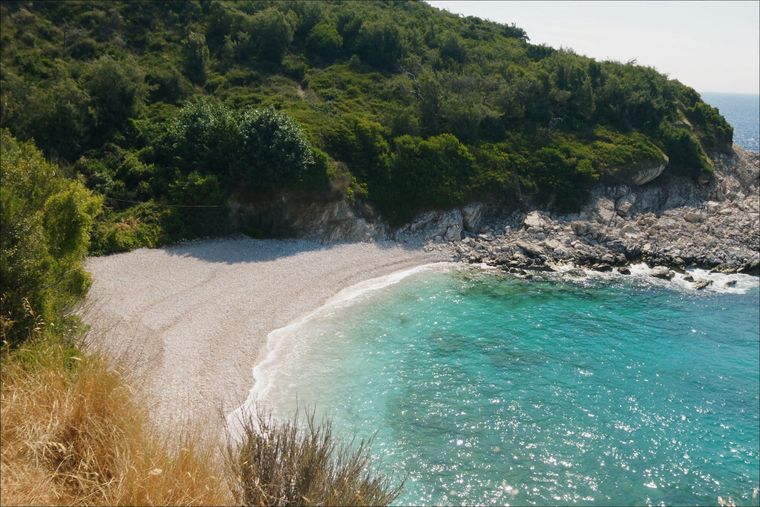
Shallow, very clear water and four low islets a short swim offshore.
Сохранить
Ksamil has several small beaches with very clear, shallow water and four little islands just offshore. In summer it is one of the busiest places on the whole Albanian coast.
Ksamil has several small beaches with very clear, shallow water and four little islands just offshore. In summer it is one of the busiest places on the whole Albanian coast.
Ksamil is a coastal village in the riviera of southern Albania, situated south of Sarandë on the road to Butrint. It falls within the boundaries of Butrint National Park and sits on Albania's Ionian coast.
Ksamil was formerly a municipality in its own right. Following Albania's 2015 local government reform, it became a subdivision of the municipality of Sarandë. The municipal unit comprises two villages: Ksamil and Manastir.
The coastal village of Ksamil was established during the communist period, founded in 1966. Its planned origin distinguishes it from older settlements in the region, and its layout reflects the organised village construction programmes carried out under Albania's communist government.
Despite its relatively recent founding, the surrounding area — including the adjacent national park and nearby archaeological site of Butrint — gives the village a historically layered context that predates it considerably.
The population of Ksamil has been recorded inconsistently across different sources. The 2023 census recorded 2,731 residents, while Civil Office records from 2018 placed the figure at 9,137 — a substantial discrepancy that the available data does not fully explain.
Official estimates from 2014 put the population of the commune of Ksamil at 9,215. Of these, 4,207 were identified as Greeks, seven as Aromanians, and the remainder as Albanians.
Earlier demographic data from 1992 recorded the village as having a mixed population: 1,125 Muslim Albanians, 520 Greeks, and 210 Orthodox Albanians — reflecting the ethnic and religious diversity present in the area at that time.
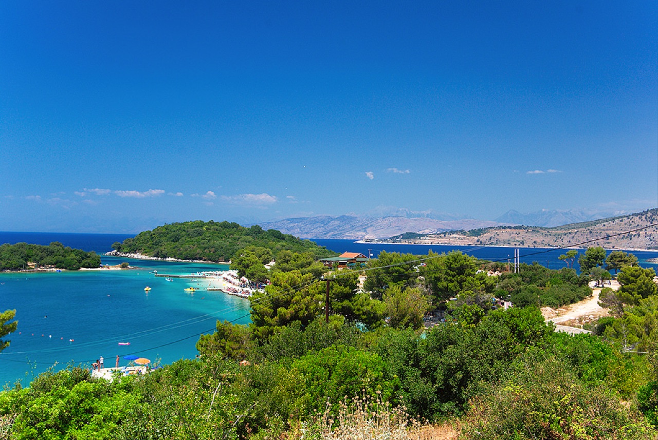
The principal natural attraction in the area is the Ksamil Islands, a group of small islands located close to the village. The beaches are noted for their white sand, which has been compared in character to Caribbean shorelines.
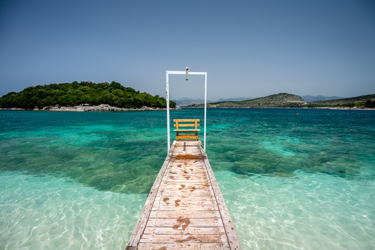
Ksamil Beach and Albania's broader Ionian coast to the north were included in The Guardian's list of 20 of the best bargain beach holidays for 2013, a recognition that contributed to increased international awareness of the area.
Ksamil is described as one of the most frequented coastal resorts in Albania, drawing both domestic and international visitors. In recent years, Albanians from Kosovo and other Albanian-speaking areas have been among the prominent visitor groups, alongside a growing number of international tourists.
The increase in visitor numbers has had tangible consequences: new hotel facilities have been constructed to accommodate demand, and the cost of services and accommodation has risen as a result. The area's tourism profile has therefore shifted from a budget destination toward one with higher price points, even as it retains its reputation for value relative to other Mediterranean destinations.
Beyond the beaches and islands, visitors to the Ksamil area have access to several other sites. These include the Blue Eye (Syri i Kaltër) in Muzinë, a natural water spring, as well as Butrint National Park and the nearby town of Sarandë.
A number of smaller beaches lie to the north of Ksamil along the coast. The village's position adjacent to Butrint National Park also places it within reach of the UNESCO-listed archaeological site of Butrint, which is managed as part of the wider national park.
Самый тёплый месяц — August (средний дневной максимум 31°C), самый холодный — January (средний ночной минимум 6°C), самый дождливый — November (205 mm). Среднегодовое количество осадков составляет 1,204 mm. Температура морской воды достигает максимума в августе — около 26°C.
| Месяц | Макс. | Мин. | Осадки | Дождливых дней | Солнце/день | Море |
|---|---|---|---|---|---|---|
| January | 12°C | 6°C | 139 mm | 12 | 7.2 h | 16°C |
| February | 13°C | 6°C | 120 mm | 11 | 8.0 h | 16°C |
| March | 15°C | 7°C | 109 mm | 11 | 9.6 h | 16°C |
| April | 18°C | 10°C | 75 mm | 10 | 10.9 h | 16°C |
| May | 23°C | 15°C | 51 mm | 7 | 12.1 h | 19°C |
| June | 27°C | 19°C | 27 mm | 4 | 13.6 h | 24°C |
| July | 30°C | 22°C | 13 mm | 2 | 13.8 h | 26°C |
| August | 31°C | 22°C | 21 mm | 3 | 12.9 h | 26°C |
| September | 26°C | 19°C | 110 mm | 8 | 10.6 h | 26°C |
| October | 22°C | 15°C | 146 mm | 10 | 9.1 h | 25°C |
| November | 17°C | 11°C | 205 mm | 13 | 7.1 h | 21°C |
| December | 13°C | 7°C | 187 mm | 13 | 6.5 h | 18°C |
Источник: ERA5 reanalysis via Open-Meteo, 1994–2023 · «Макс.» и «Мин.» — средние суточные максимум и минимум температуры воздуха. «Дождливых дней» — число дней с количеством осадков не менее 1 мм.
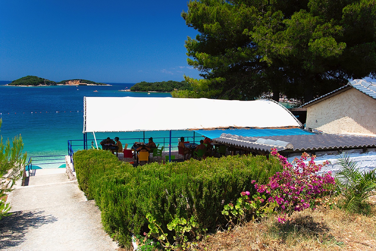
Исторический объект · Vlorë
A Greek, Roman, Byzantine, Venetian and Ottoman city layered on one wooded peninsula — Albania's first UNESCO site.
Город · Vlorë
The Ionian resort town facing Corfu, and the arrival point for most visitors to southern Albania.
Пляж · Vlorë
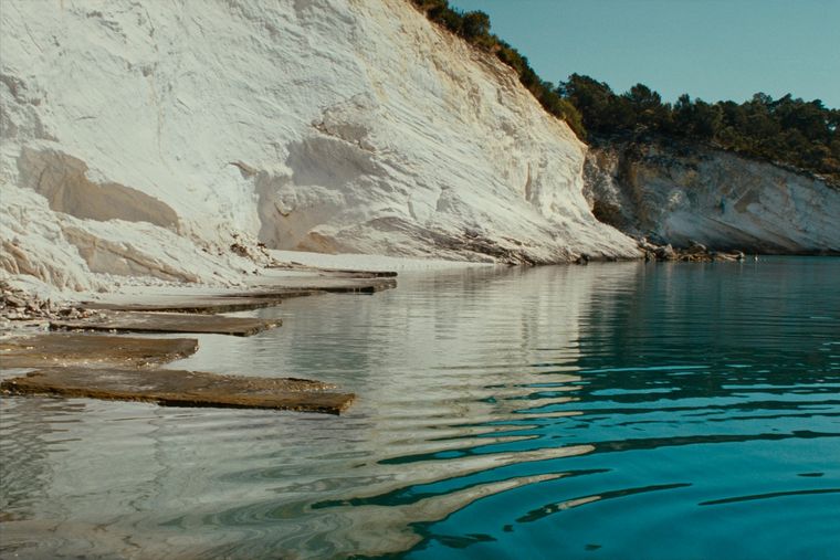
Rock shelves and a small pebble strip where the water is unusually still.
Городок · Vlorë
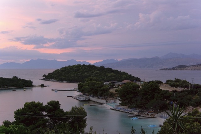
Four small islands and very clear shallow water; the most photographed and most crowded stretch of the Albanian coast.
Руководство
Sand in the north and centre, pebble in the south: the single most useful distinction on the coast.
Сравнение
The clearest water in Albania against the most liveable town on the Riviera.
Нашли ошибку на этой странице? Исправления приветствуются и проверяются по исходной записи. Сообщите нам, что именно неверно, и по возможности укажите, откуда взята правильная цифра.