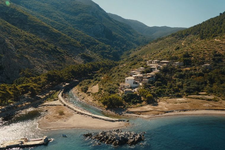
城市 · Vlorë
Sarandë
The Ionian resort town facing Corfu, and the arrival point for most visitors to southern Albania.
每个县、每段海岸、每个世纪
引导视图
初次了解阿尔巴尼亚?每个页面均以通俗易懂的说明开篇——即便是十岁的孩子也能读懂——随后再展开详细内容。
专业视图
您已掌握基础知识。直接进入正题,简明解释默认隐藏。此为默认模式。
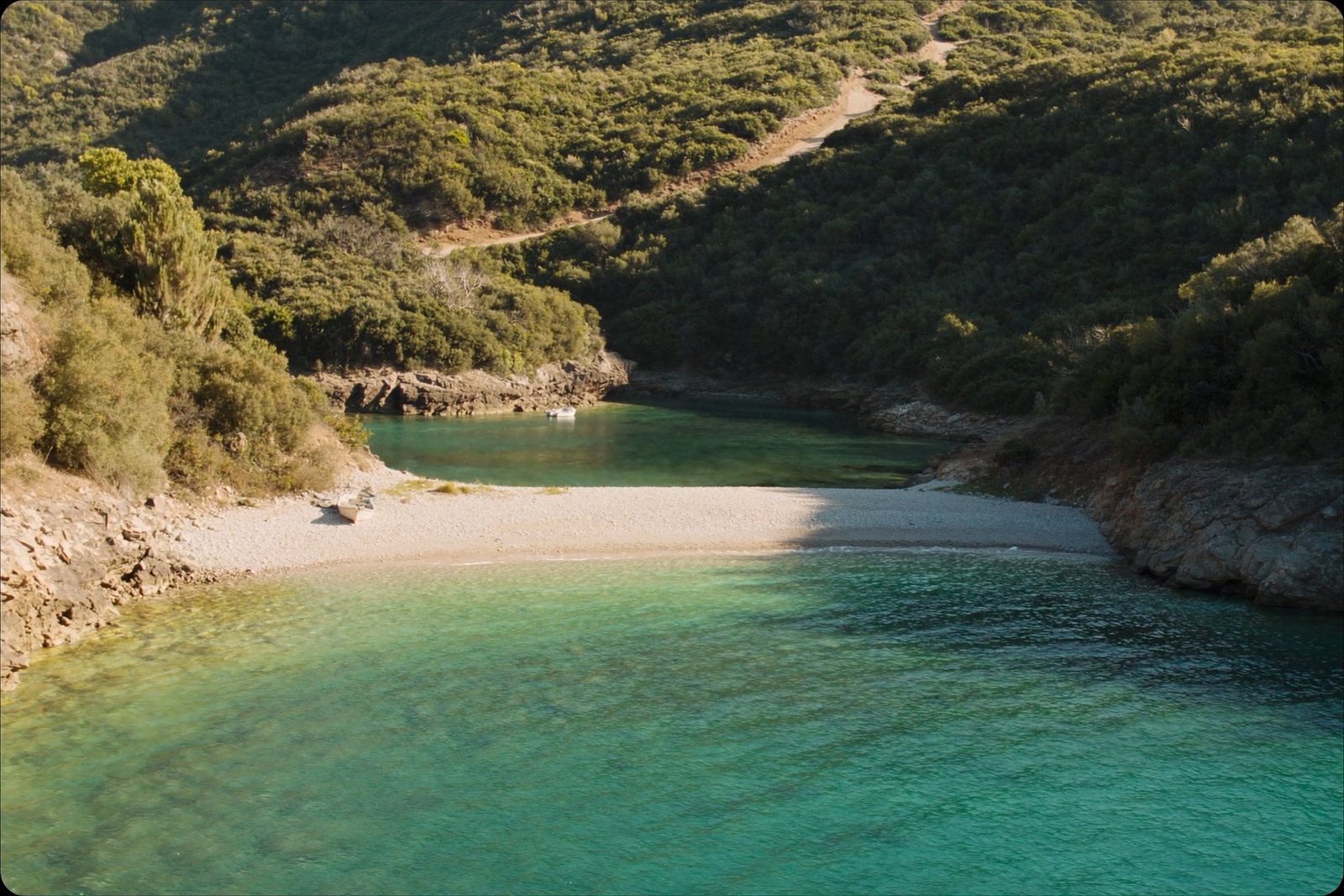
海滩 · Vlorë County
A deep, clear bay north of Sarandë, long the subject of a contested development.
保存
Kakome is a very clear bay north of Sarandë. Building work on a big resort there has been argued about for years, and land access is limited.
Kakome is a very clear bay north of Sarandë. Building work on a big resort there has been argued about for years, and land access is limited.
最热月份为 August (日最高气温均值 28°C), 最冷月份为 January (日最低气温均值 5°C), 降水最多的月份为 November (284 mm). 年均降雨总量为 1,628 mm. 海水温度在八月达到峰值,约为 26°C.
| 月份 | 最高气温 | 最低气温 | 降雨量 | 降雨天数 | 日照时长 | 海水温度 |
|---|---|---|---|---|---|---|
| January | 11°C | 5°C | 201 mm | 13 | 7.1 h | 16°C |
| February | 12°C | 6°C | 169 mm | 12 | 7.9 h | 15°C |
| March | 14°C | 7°C | 158 mm | 12 | 9.5 h | 15°C |
| April | 16°C | 10°C | 108 mm | 12 | 10.9 h | 16°C |
| May | 21°C | 14°C | 72 mm | 10 | 12.1 h | 19°C |
| June | 25°C | 18°C | 37 mm | 5 | 13.7 h | 24°C |
| July | 28°C | 21°C | 17 mm | 3 | 13.8 h | 26°C |
| August | 28°C | 22°C | 26 mm | 4 | 12.9 h | 26°C |
| September | 24°C | 18°C | 128 mm | 9 | 10.6 h | 26°C |
| October | 20°C | 14°C | 174 mm | 10 | 9.1 h | 25°C |
| November | 16°C | 10°C | 284 mm | 14 | 7.1 h | 21°C |
| December | 12°C | 7°C | 254 mm | 14 | 6.5 h | 18°C |
数据来源: ERA5 reanalysis via Open-Meteo, 1994–2023 · "最高气温"与"最低气温"分别为日最高和日最低气温均值。"降雨天数"统计降水量不低于 1 毫米的天数。
城市 · Vlorë
The Ionian resort town facing Corfu, and the arrival point for most visitors to southern Albania.
海滩 · Vlorë
A run of small coves — Bunec, Krorëz and Shpella — below the village of Lukovë.
指南
A market driven by the diaspora, tourism and construction — and shaped by an unresolved post-communist title history.
本页内容有误? 欢迎提交更正意见,所有意见均会与原始记录核对。请告知错误所在,如能提供正确数据的出处,请一并注明。