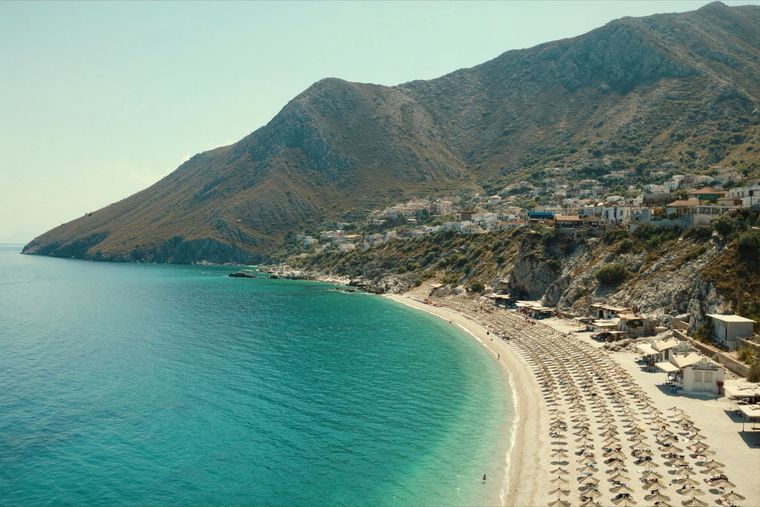
Pantai · Vlorë
Dhërmi Beach
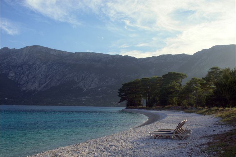
A long white pebble shore under the Ceraunian ridge, and the Riviera's main nightlife strip.
Setiap kabupaten, pantai, dan abad
Tampilan terpandu
Baru mengenal Albania? Setiap halaman dibuka dengan penjelasan dalam bahasa sederhana yang dapat dibaca oleh anak usia sepuluh tahun, sebelum detail lebih lanjut dimulai.
Tampilan ahli
Anda sudah mengetahui dasar-dasarnya. Langsung ke inti pembahasan, dengan penjelasan sederhana yang disembunyikan. Ini adalah tampilan default.
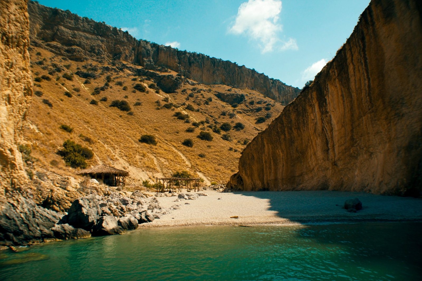
Pantai · Vlorë County
A pebble beach at the mouth of a limestone canyon, reachable only on foot or by boat.
Simpan
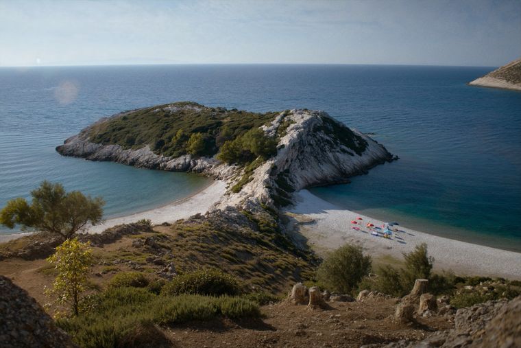
Gjipe is a beach where a narrow rocky canyon meets the sea. There is no road right to it — you walk down for about half an hour or arrive by boat. Some people camp there.
Gjipe is a beach where a narrow rocky canyon meets the sea. There is no road right to it — you walk down for about half an hour or arrive by boat. Some people camp there.
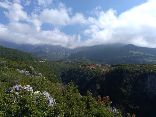
Gjipe Beach and its associated canyon (Albanian: Kanioni i Gjipesë) lie on the Albanian Riviera in Vlorë County, positioned between the coastal villages of Dhërmi and Vuno. The site sits at the transition zone between the Adriatic Sea and the Ionian Sea, a factor that shapes both its physical character and its ecological conditions.
The canyon is calcareous in origin and was carved by the Ionian Sea in combination with a small brook that flows through its narrow pass. That brook activity is credited with creating the strait-like formation that defines the canyon's interior.
The canyon extends 800 metres (2,600 ft) in length. Its width is variable, ranging between 10 metres (33 ft) and 20 metres (66 ft) at different points along its course. This narrow profile gives the canyon its strait-like character.
Numerous rock formations line the canyon walls, and the article records the presence of a number of caves along its length. No further specification of individual formations or cave names is provided in the available source material.
In phytogeographic terms, the canyon belongs to the Illyrian province of the circumboreal region within the boreal Kingdom. It falls entirely within the Illyrian deciduous forests terrestrial ecoregion, which is itself part of the Palearctic Mediterranean forests, woodlands, and scrub biome.
Among the vegetation present, the carob and olive are described as particularly significant elements. Both species have been cultivated and produced in Albania since antiquity. The canyon has been recognised by Plantlife as an Important Plant Area of international importance on the basis that it supports a number of rare and endemic plant species.
Plantlife, an international plant conservation organisation, has designated the Gjipe canyon as an Important Plant Area (IPA) of international importance. This designation reflects the presence of rare and endemic species within the canyon, though the article does not specify which species qualify it for that status or when the designation was conferred.
The IPA status places Gjipe alongside other sites of botanical significance and connects it to an internationally recognised framework for plant conservation, distinct from any formal Albanian protected-area designation mentioned in the source.
The canyon's shallow coastal waters provide habitat for the loggerhead sea turtle (Caretta caretta), described in the article as the most familiar turtle species in the Mediterranean Sea. The presence of sufficient coastal habitat within the bay supports this species.
Three cetacean species have been identified in the waters of the area: the Cuvier's beaked whale, the common bottlenose dolphin, and the short-beaked common dolphin. The article notes that dolphins are not uncommon in the region generally.
Despite its relatively small scale, the canyon and beach are described as among the most visited attractions along the Albanian Riviera. The article attributes this to the specific landscape immediately beside the sea and the particular local climate, which together have favoured the development of a wide range of faunal species.
No infrastructure, access road details, or visitor management arrangements are described in the available source material. The site's position between Dhërmi and Vuno places it within the broader stretch of the Albanian Ionian Sea coast, a coastline referenced in Albanian geographical and conservation literature.
Bulan terhangat adalah August (rata-rata suhu harian tertinggi 28°C), yang terdingin adalah January (rata-rata suhu harian terendah 5°C), dan yang terbasah adalah November (255 mm). Total curah hujan tahunan rata-rata 1,652 mm. Suhu laut mencapai puncaknya pada bulan Agustus sekitar 26°C.
| Bulan | Tertinggi | Terendah | Hujan | Hari hujan | Matahari/hari | Laut |
|---|---|---|---|---|---|---|
| January | 10°C | 5°C | 190 mm | 13 | 7.1 h | 17°C |
| February | 11°C | 5°C | 163 mm | 12 | 8.0 h | 15°C |
| March | 13°C | 6°C | 156 mm | 13 | 9.5 h | 15°C |
| April | 16°C | 9°C | 117 mm | 14 | 10.8 h | 16°C |
| May | 21°C | 14°C | 93 mm | 12 | 12.1 h | 19°C |
| June | 25°C | 18°C | 59 mm | 8 | 13.6 h | 24°C |
| July | 28°C | 20°C | 30 mm | 6 | 13.8 h | 26°C |
| August | 28°C | 21°C | 39 mm | 6 | 12.9 h | 26°C |
| September | 24°C | 17°C | 138 mm | 11 | 10.7 h | 26°C |
| October | 20°C | 14°C | 173 mm | 11 | 9.2 h | 25°C |
| November | 16°C | 10°C | 255 mm | 14 | 7.1 h | 21°C |
| December | 12°C | 6°C | 238 mm | 14 | 6.5 h | 18°C |
Sumber: ERA5 reanalysis via Open-Meteo, 1994–2023 · "Tertinggi" dan "Terendah" adalah rata-rata suhu udara harian maksimum dan minimum. "Hari hujan" menghitung hari dengan curah hujan minimal 1 mm.
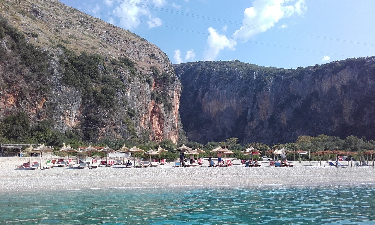
Pantai · Vlorë
A long white pebble shore under the Ceraunian ridge, and the Riviera's main nightlife strip.
Pantai · Vlorë
The pine-backed northern half of the Dhërmi bay, slightly quieter than the main strip.
Desa · Vlorë
An old white village on the slope above one of the Riviera's longest pebble beaches.
Ngarai · Vlorë
A narrow limestone slot that meets the sea at Gjipe beach — the Riviera's one true canyon.
Pantai · Vlorë
Two adjacent pebble coves below Vuno, long a summer-camping spot for young Albanians.
Subjek · Vlorë
The 120 km of Ionian coast between the Llogara pass and Sarandë, where the Ceraunian mountains fall straight into the sea.
Ada yang salah di halaman ini? Koreksi sangat disambut dan akan diperiksa terhadap catatan sumber. Beri tahu kami apa yang salah dan, jika memungkinkan, dari mana angka yang benar berasal.