شاطئ · Vlorë
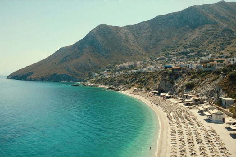
Dhërmi Beach
A long white pebble shore under the Ceraunian ridge, and the Riviera's main nightlife strip.
كل مقاطعة، كل ساحل، كل قرن
عرض إرشادي
هل أنت جديد على ألبانيا؟ تفتتح كل صفحة بشرح مبسّط يمكن قراءته لطفل في العاشرة من عمره، قبل أن تبدأ التفاصيل.
عرض للمتخصصين
أنت تعرف الأساسيات بالفعل. مباشرةً إلى الجوهر، مع إخفاء الشروح المبسّطة. هذا هو الوضع الافتراضي.
شاطئ · Vlorë County
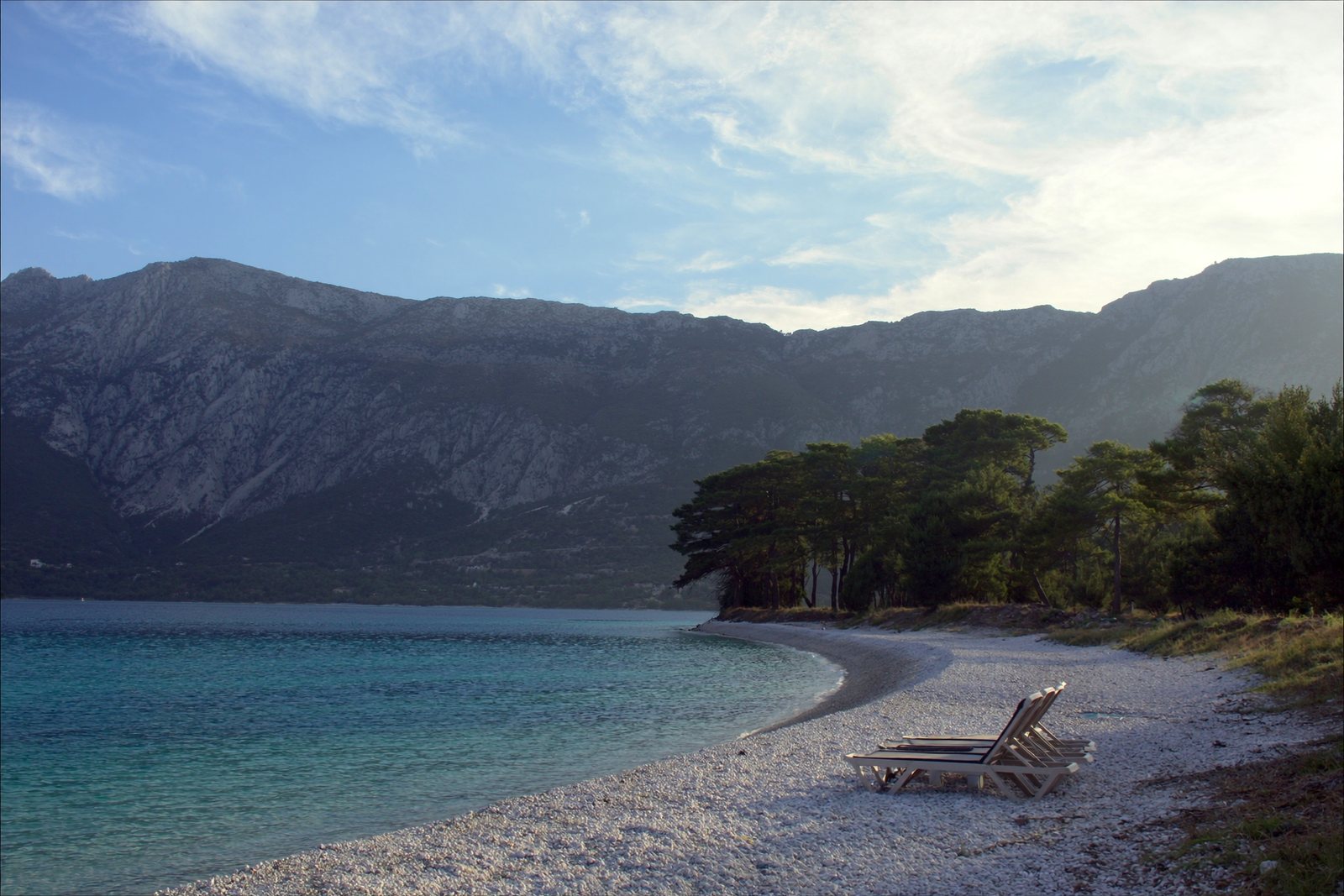
The pine-backed northern half of the Dhërmi bay, slightly quieter than the main strip.
حفظ
Drymades is the part of Dhërmi's bay furthest north, with pine trees behind the pebbles. It is usually a bit calmer than the main Dhërmi beach.
Drymades is the part of Dhërmi's bay furthest north, with pine trees behind the pebbles. It is usually a bit calmer than the main Dhërmi beach.
Dhërmi (Greek: Δρυμάδες, Drymádes) is a village in Vlorë County, Albania, administered within the municipality of Himarë. It sits on a slope of the Ceraunian Mountains at approximately 200 metres in altitude, with the mountains descending to the southwest toward the Ionian coast. The village lies 42 kilometres south of Vlorë and 69 kilometres north of Sarandë. The nearby village of Palasë lies in the same coastal stretch.
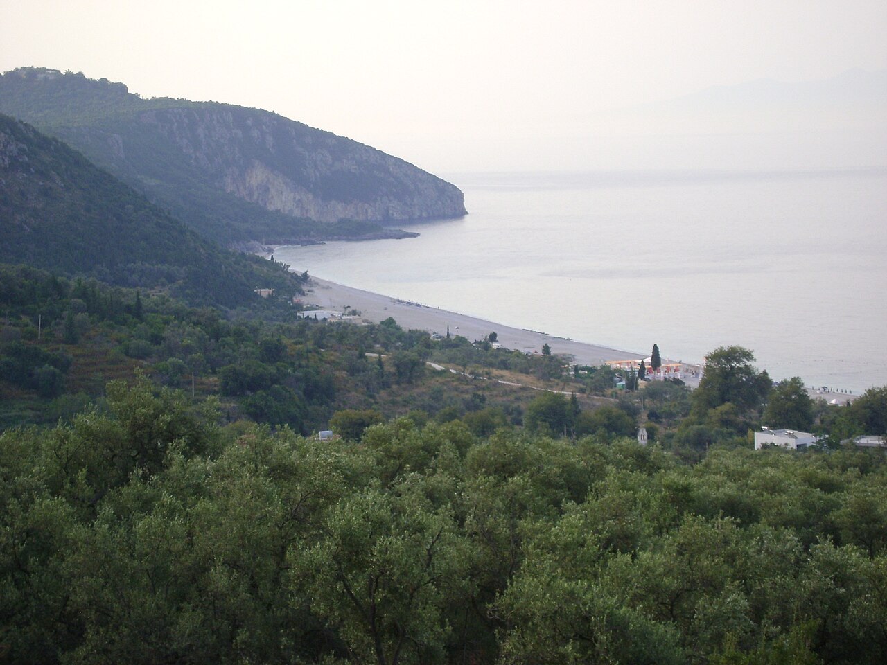
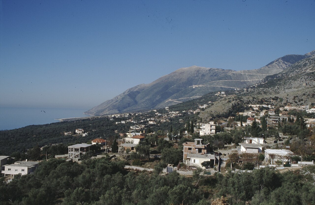
The settlement is divided into four neighbourhoods: Gjilek, Kondraq, Kallami, and Dhërmi proper. From elevated ground the Ionian Sea is visible to the southwest, with the island of Corfu visible to the south. The coastal area directly below the village contains the beach commonly known in English as Drymades Beach, which is 5 kilometres in length and terminates at a hill where the monastery of Saint Theodore stands.
The village carries two names in regular use. The official Albanian form, Dhërmi, is predominantly used by inhabitants and seasonal workers who speak either the Tosk or Gheg Albanian dialect, many of whom relocated to the village from other parts of Albania during the socialist period (1945–1991) or more recently. The Greek form, Drimades or Drymades, is used by the longer-established local population, who primarily speak the local Greek dialect and partly the southern Albanian Tosk dialect.
The resident ethnic Greek community identifies itself by the term horiani or Drimadiotes, denoting people who originate from the village. Their speech is a variety of the Greek Himariote dialect, which retains archaic features not preserved in Standard Modern Greek. Tosk-speaking and Gheg-speaking newcomers and seasonal workers also now live in the village.
Dhërmi is recorded in an Ottoman defter (cadastral register) of 1583 as a settlement in the Sanjak of Delvina comprising 50 households. The personal names recorded there predominantly belong to the Albanian onomastic sphere — examples include Leka Gjini, Gjin Kondi, and Gjoka Qezari — though names reflecting broader Orthodox Christian anthroponymy also appear, such as Petri Dhima, Nikolla Kosta, and Kristo Dhimo. Albanian historian Kristo Frashëri concluded that none of the recorded names can be classified as ethnic Greek onomastics.
In 1632 Greek Cypriot missionary Neophytos Rodinos founded the first Albanian-language school in Dhërmi; the following year, 1633, the same missionary founded a Greek-language school there. By 1682 additional Greek schools were operating with support from the local bishopric of Himara. During the 17th century — the precise year is unrecorded — a further Greek school, known as the Vizilios School, opened under the sponsorship of a local benefactor. By the 1898–1899 school season, three Greek schools were in operation in the village: an elementary school, a secondary school, and a girls' school.
Following a request by Himariots to the Pope of Rome, a Basilian Catholic mission to Albania was launched in 1693. Its members included Nico Catalano, who held the title Archbishop of Durrës within Albania, and Basilian monk Filoteo Zassi, from the Arbëreshë town of Mezzojuso. The group departed at the end of January 1693 and made Dhërmi their first stop, where Catalano reported finding a deteriorated spiritual condition among the population, which he attributed to Ottoman pressure and to Greek bishops whom he accused of treating church affairs as commercial transactions.
Catalano opened a school in the Himarë region, based in Dhërmi, where more than eighty students — both Christian and Muslim — registered from adjacent villages. He taught Christian doctrine and morals alongside farming techniques and other practical subjects. Catalano emphasised instruction and preaching in the Albanian language, regarding it as the most effective means of countering the spread of Islam. He continued visiting villages across the Himarë region until he fell ill at Vuno and died on 3 June 1694. He was buried at the Church of St. Athanasius in Dhërmi. The mission ultimately failed: local interest was limited, student recruitment proved unsuccessful, and the Italian missionary Giuseppe Schirò recorded in 1722 that Dhërmi was inhabited by Greeks.
The Church of St. Athanasius in Dhërmi has been demolished twice by state authorities. The first demolition occurred during the era of the People's Republic of Albania; following the restoration of democracy in 1991, the local Orthodox Church rebuilt the structure. The second demolition took place in 2015, carried out by Albanian state authorities, and provoked a public dispute between the Albanian Orthodox Church and the Albanian Government. It also generated tensions between the municipality of Himarë and both the local Albanian and ethnic Greek Orthodox communities. By 2018, reconstruction of the church was underway.
The same church is the burial site of Archbishop Nico Catalano, who died in 1694 during the Basilian mission to the region. The village also contains several other religious structures listed among its landmarks: the Hypapante Church, the Panagia Monastery Church, and St. Stephen's Church.
The beach at Dhërmi is 5 kilometres long and ends at a hill where the monastery of Saint Theodore is located. The coastal area has experienced significant construction of accommodation facilities — including wooden villa complexes — over the last decade. The village is noted both for its beach and for nightclub-based nightlife concentrated in modern coastal resorts. In 2018, the Albanian Ministry of Tourism and Environment designated Dhërmi as a centre of the Albanian Riviera area.
The Himarë region, including Dhërmi, is associated with beekeeping and honey production. An annual three-day fair called Mjalt Fest is held to mark this. The Albanian government has also promoted the Kala Fest festival as part of efforts to develop tourism in Dhërmi. A separate campaign, Smile Albania, was created by former minister Blendi Klosi to promote local Albanian cuisine under the broader initiative described as 'Local products, an added offer in our touristic package'. As of 2018, Dhërmi has hosted multiple music festivals.
أكثر الأشهر دفئاً هو August (متوسط أعلى درجة حرارة يومية 30°C), وأبردها هو January (متوسط أدنى درجة حرارة يومية 6°C), وأكثرها مطراً هو November (255 mm). يبلغ متوسط هطول الأمطار السنوي الإجمالي 1,652 mm. تبلغ حرارة البحر ذروتها في أغسطس عند نحو 26°C.
| الشهر | الأعلى | الأدنى | الأمطار | أيام المطر | ساعات الشمس/اليوم | البحر |
|---|---|---|---|---|---|---|
| January | 12°C | 6°C | 190 mm | 13 | 7.1 h | 17°C |
| February | 12°C | 6°C | 163 mm | 12 | 8.0 h | 15°C |
| March | 14°C | 8°C | 156 mm | 13 | 9.5 h | 15°C |
| April | 18°C | 10°C | 117 mm | 14 | 10.8 h | 16°C |
| May | 22°C | 15°C | 93 mm | 12 | 12.1 h | 19°C |
| June | 26°C | 19°C | 59 mm | 8 | 13.6 h | 24°C |
| July | 29°C | 22°C | 30 mm | 6 | 13.8 h | 26°C |
| August | 30°C | 22°C | 39 mm | 6 | 12.9 h | 26°C |
| September | 25°C | 18°C | 138 mm | 11 | 10.7 h | 26°C |
| October | 21°C | 15°C | 173 mm | 11 | 9.2 h | 25°C |
| November | 17°C | 11°C | 255 mm | 14 | 7.1 h | 21°C |
| December | 13°C | 8°C | 238 mm | 14 | 6.5 h | 18°C |
المصدر: ERA5 reanalysis via Open-Meteo, 1994–2023 · "الأعلى" و"الأدنى" هما متوسط أقصى وأدنى درجة حرارة يومية للهواء. تحسب "أيام المطر" الأيام التي يبلغ فيها الهطول مليمتراً واحداً على الأقل.
شاطئ · Vlorë
A long white pebble shore under the Ceraunian ridge, and the Riviera's main nightlife strip.
شاطئ · Vlorë
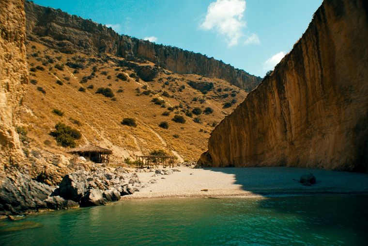
A pebble beach at the mouth of a limestone canyon, reachable only on foot or by boat.
شاطئ · Vlorë
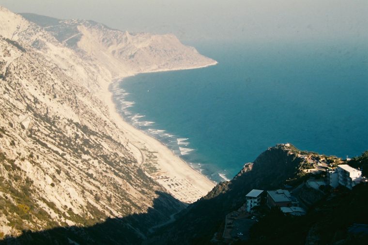
The first Riviera beach south of the Llogara pass, below the road's most dramatic descent.
قرية · Vlorë
An old white village on the slope above one of the Riviera's longest pebble beaches.
ثمة خطأ في هذه الصفحة؟ نرحب بالتصويبات وتُراجَع في مواجهة سجل المصدر. أخبرنا بما هو خاطئ، وإن أمكن، بالمكان الذي يأتي منه الرقم الصحيح.